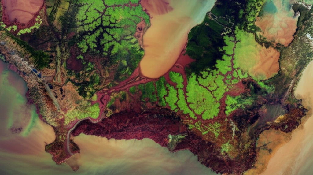
Decoding Salinity: How Satellite Mapping Can Save Tunisia's Landscapes
Explore how researchers are using advanced satellite imagery and decision tree algorithms to map halophyte vegetation in Tunisia, offering critical insights for managing soil salinity and protecting vital ecosystems.