Earth from space showing energy flows and temperature gradients.

Unlocking Climate Insights: How Satellites Are Revolutionizing Environmental Monitoring

"Discover how MODIS sensor data is transforming our understanding of net radiation and its impact on ecosystems, offering a vital tool for climate resilience and sustainable practices."


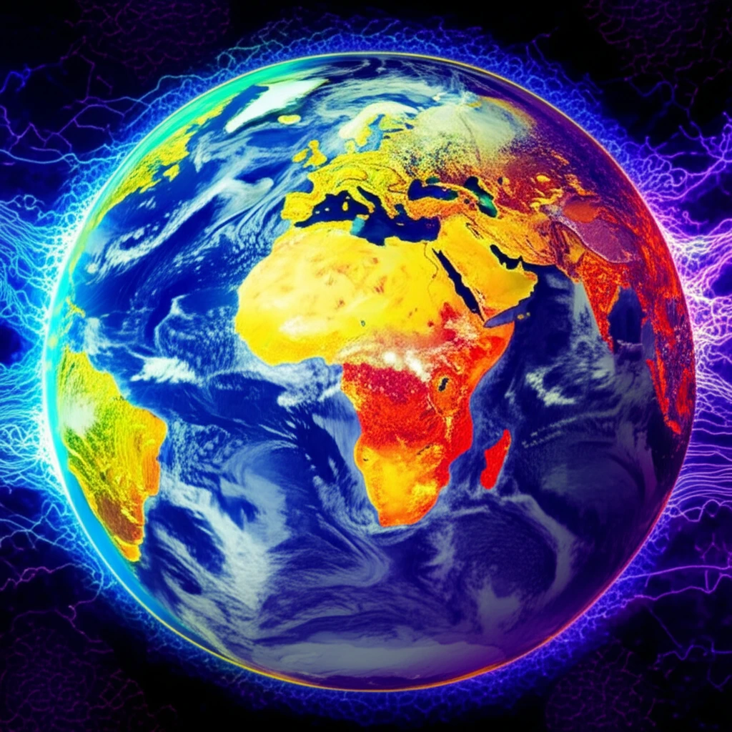
In an era defined by rapid environmental change, understanding the Earth's energy balance is more critical than ever. Net radiation (Rn), the balance between incoming and outgoing solar radiation, is a fundamental driver of physical, chemical, and biological processes at the Earth's surface. From heating the air and soil to driving water transfer and fueling plant metabolism, Rn plays a pivotal role in shaping our ecosystems.

However, obtaining accurate and comprehensive Rn data can be challenging. Traditional methods rely on ground-based instruments, which are often sparse and limited in coverage. This is where satellite technology steps in, offering a powerful tool for monitoring Rn over large areas with unprecedented detail. Remote sensing, particularly through sensors like the Moderate Resolution Imaging Spectroradiometer (MODIS), provides a wealth of information that can help us unlock crucial climate insights.

This article delves into how MODIS sensor products are being used to estimate net radiation in ecologically significant regions. By exploring studies conducted in diverse geographical locations, we'll uncover how this technology is enhancing our understanding of climate dynamics and supporting sustainable environmental management.

What is Net Radiation and Why Does It Matter?

Earth from space showing energy flows and temperature gradients.

Net radiation (Rn) is essentially the Earth's energy budget. It represents the difference between the amount of solar radiation absorbed by the Earth's surface and the amount of energy emitted back into the atmosphere. This balance dictates the energy available for various processes, including:

Understanding Rn helps us to:

  • Air and Soil Heating: Influences temperature patterns and climate conditions.
  • Water Transfer: Drives evaporation and the movement of water from the surface to the atmosphere.
  • Plant Metabolism: Fuels photosynthesis, the process by which plants convert sunlight into energy.
Given the importance of Rn, accurate measurements are vital. Yet, many regions lack the necessary ground-based infrastructure to collect this data, highlighting the need for alternative methods like remote sensing.

The Future of Environmental Monitoring

As climate change continues to impact our planet, the need for accurate and comprehensive environmental data will only intensify. Satellite technology, particularly through advanced sensors like MODIS, offers a powerful solution for monitoring net radiation and other critical climate variables. By leveraging these tools, we can gain a deeper understanding of our planet's complex systems and make informed decisions to protect our environment for future generations. With ongoing research and technological advancements, the potential of remote sensing to transform environmental monitoring is limitless.

About this Article -

This article was crafted using a human-AI hybrid and collaborative approach. AI assisted our team with initial drafting, research insights, identifying key questions, and image generation. Our human editors guided topic selection, defined the angle, structured the content, ensured factual accuracy and relevance, refined the tone, and conducted thorough editing to deliver helpful, high-quality information.See our About page for more information.

Everything You Need To Know

1

What is net radiation, and why is it important for understanding our environment?

Net radiation (Rn) is the balance between incoming solar radiation absorbed by the Earth and the outgoing energy emitted back into the atmosphere. It's the Earth's energy budget and is significant because it drives many physical, chemical, and biological processes, such as heating the air and soil, driving water transfer, and fueling plant metabolism. Understanding Rn is critical for comprehending climate patterns and ecosystem health.

2

What is the MODIS sensor, and why is it useful for environmental monitoring?

The MODIS sensor is the Moderate Resolution Imaging Spectroradiometer. It is mounted on satellites and used in remote sensing to gather data about Earth. MODIS is important because it provides comprehensive data over large areas, which is especially valuable in regions where ground-based measurements are lacking. The data collected helps in understanding climate dynamics and supports environmental management.

3

What is remote sensing, and how does it contribute to environmental monitoring efforts?

Remote sensing is the process of gathering information about an object or area from a distance, typically using satellites or aircraft. It’s important because it allows for the monitoring of large and inaccessible areas. In the context of environmental monitoring, remote sensing provides data on net radiation and other crucial climate variables, enabling informed decisions for sustainable practices. MODIS sensors are one of the technologies used in Remote sensing.

4

What are the limitations of using ground-based instruments for collecting environmental data?

Ground-based instruments are tools and sensors located on the Earth's surface that directly measure various environmental parameters, such as temperature, humidity, and radiation. These instruments have limitations like sparse coverage and high maintenance costs, especially in remote regions. Satellite technology and sensors such as MODIS provides more consistent measurements.

5

How does satellite technology enhance our ability to monitor and understand climate change and its impacts?

Satellite technology is a powerful tool for monitoring environmental conditions on Earth. Satellites equipped with remote sensors like MODIS can collect data over large areas and long periods, providing insights into net radiation, ecosystem health, and climate change impacts. This data helps scientists and policymakers make informed decisions to protect the environment and promote sustainability. The use of satellite data helps to address the limitations of sparse ground-based instruments.

Newsletter Subscribe

Subscribe to get the latest articles and insights directly in your inbox.