
Decoding the Weather: How Satellites Help Us Understand Net Radiation

"Explore how MODIS satellite data transforms our understanding of regional climates in Brazil and beyond."
Net radiation (Rn) is fundamental in the processes of our environment, acting as the primary energy source for everything from physical changes to plant metabolism. It influences air and soil temperatures, dictates water transfer from ground to atmosphere, and drives photosynthesis. However, gathering accurate net radiation data can be challenging, especially in areas lacking traditional weather stations.
Remote sensing technologies offer a robust solution, providing extensive data coverage across vast regions. Satellites equipped with advanced sensors can fill data gaps, enabling scientists to estimate net radiation in previously unmonitored areas. This is particularly beneficial in regions where setting up conventional weather stations is impractical or cost-prohibitive.
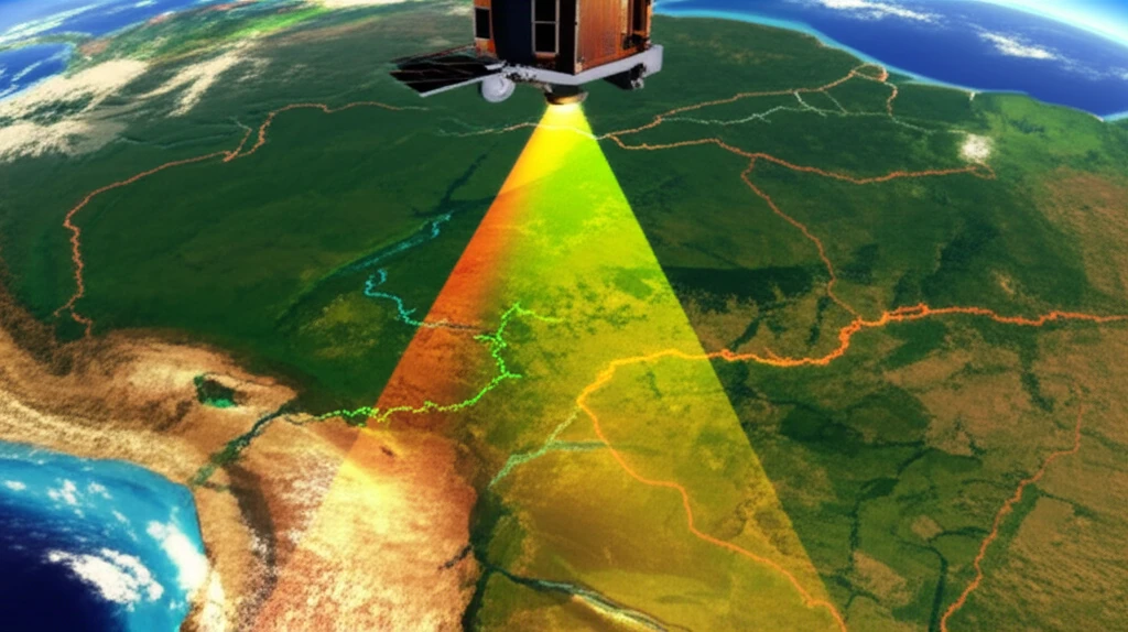
A recent study focused on two sub-basins in the Paracatu region of Brazil, utilizing data from the Moderate Resolution Imaging Spectroradiometer (MODIS) aboard the Terra satellite. This research sought to determine net radiation levels using the Surface Energy Balance Algorithm for Land (SEBAL), offering insights into local climate dynamics and demonstrating the capabilities of satellite-derived data.
The Global Net Radiation Dataset
NASA Earth Observations provides global net radiation data through its CERES instrument suite, offering monthly, weekly, and 8-day snapshots of energy imbalance across the planet. The National Solar Radiation Database (NSRDB) complements this with hourly meteorological data and three key solar radiation measurements—global horizontal, direct normal, and diffuse horizontal irradiance—covering the United States and expanding internationally. These datasets reveal the fundamental planetary energy imbalance: net radiation surpluses concentrate at the equator where sunlight is direct year-round, while deficits dominate at high latitudes where direct sunlight is seasonal. The net radiation values are expressed in Watts per square meter, providing the quantitative foundation for understanding Earth's energy budget.
Satellite Estimation Methods and Uncertainties
Researchers have developed models for estimating daily net radiation from satellite data that show high agreement with ground-based measurements across diverse regions. High-latitude studies leverage MODIS data with multiple daily overpasses, using a local regression-based approach to integrate daytime and nighttime estimation models. However, observational limitations lead to substantial uncertainty in net surface energy flux estimates, as noted in a 2017 study combining satellite-derived radiative fluxes with ERA-Interim reanalysis. A 2025 study demonstrated that these satellite-derived estimates support evapotranspiration modeling, yet challenges remain in achieving consistent accuracy across all sky conditions and spatial resolutions.
Foundations of Satellite Radiation Science
Satellite-based net radiation measurement emerged from decades of Earth observation efforts, with instruments like the Clouds and the Earth's Radiant Energy System (CERES) becoming cornerstone tools for climate science. The transition from ground-based radiometers to space-based sensors enabled truly global coverage, fundamentally changing our ability to monitor the planet's energy balance. Early satellite missions laid the groundwork for today's sophisticated multi-sensor approaches, though specific milestone dates and foundational discoveries are not detailed in the available sources for this section.
How Satellites Measure Net Radiation
Satellites measure net radiation by assessing various components of the Earth's energy balance. This involves quantifying incoming solar radiation, reflected solar radiation, emitted longwave radiation from the Earth, and incoming longwave radiation from the atmosphere. Sensors like MODIS collect data across different spectral bands, which are then processed using algorithms like SEBAL to derive net radiation values.
- Surface Albedo: Measures the reflectivity of the surface, indicating how much solar radiation is reflected back into the atmosphere.
- Land Surface Temperature: Determines the amount of longwave radiation emitted from the Earth's surface.
- Atmospheric Conditions: Accounts for the absorption and scattering of radiation by atmospheric gases and aerosols.
Current Advances in Radiation Monitoring
Recent research continues to refine satellite-based net radiation estimation, with studies focusing on improving spatial resolution and temporal coverage. Scientists are exploring multi-satellite data fusion techniques to enhance the accuracy of radiation products across different geographic regions. The field remains active with ongoing validation efforts comparing satellite estimates against ground-truth measurements to quantify and reduce remaining uncertainties.
Limitations and Challenges in Current Methods
Despite significant advances, satellite-based net radiation estimation faces persistent challenges including cloud contamination, atmospheric variability, and surface heterogeneity. Some researchers argue that existing products still have coarse spatial resolutions that limit their utility for local-scale applications. Additionally, the integration of daytime and nighttime observations remains technically demanding, with potential biases in nighttime radiation estimates contributing to overall product uncertainty.
Evaluating Satellite Radiation Products
A comparative assessment of monthly surface net radiation from CERES and the Surface Radiation Budget (SRB) projects reveals that while products are highly correlated, differences of 6–21 W/m² exist among them. Ground-based radiometers provide valuable direct measurements for validating satellite retrievals and evaluating product accuracy. A 2024 study achieved high-resolution (1 km) all-sky net radiation over Europe by merging land surface temperature retrievals from geostationary and polar-orbiting satellites, demonstrating the potential of multi-sensor approaches to overcome individual sensor limitations.
The Future of Climate Monitoring
The research in the Paracatu region demonstrates the vast potential of using satellite data to understand and monitor net radiation, particularly in areas where traditional weather stations are scarce. By using data from sensors like MODIS and sophisticated algorithms like SEBAL, scientists can achieve high-resolution climate monitoring. This enhances agricultural planning, environmental management, and climate change mitigation efforts.
Integrating Satellite Data into Climate Understanding
Satellite observations of net radiation have become indispensable tools for understanding Earth's energy balance and its implications for climate systems. The combination of multiple data sources—from CERES broadband sensors to high-resolution regional products—provides a comprehensive view of planetary energy dynamics. While uncertainties persist, the progressive refinement of estimation methods continues to improve our ability to monitor and predict climate-related phenomena.
Advancing Environmental Satellite Capabilities
The National Environmental Satellite, Data, and Information Service (NESDIS) continues to provide secure and timely access to global environmental data from satellites and other sources. Future efforts will likely focus on enhancing data resolution, reducing latency, and improving integration with ground-based observation networks. These advances aim to better serve national security, environmental monitoring, economic applications, and public safety.
Net Radiation's Role in Earth's Energy Budget
Net radiation represents the balance between incoming and outgoing energy at the top of the atmosphere—the total energy available to influence climate after light and heat are reflected, absorbed, or emitted by clouds and land. This fundamental metric drives atmospheric and oceanic circulation patterns, seasonal transitions, and long-term climate trends. Understanding net radiation is essential for predicting weather patterns, assessing climate change impacts, and managing agricultural and water resources globally.
Applications in Agriculture and Resource Management
Precise estimation of net radiation is fundamental to understanding surface energy balance and critical for accurately determining crop water requirements, particularly through remote sensing and geospatial techniques. A study examining major cropped areas in Pakistan's Punjab and Sindh provinces evaluated multi-satellite-based net radiation products for agricultural applications. The surface radiation budget serves as a key parameter for hydrological, ecological, agricultural, and biogeochemical processes, making accurate satellite estimates essential for sustainable resource management and food security planning.