Unlocking Forest Secrets: How Satellite Images and Biomass Data are Revolutionizing Conservation Efforts
"Explore the groundbreaking research using Landsat TM images and topographic normalization to map tropical forest biomass and enhance forest monitoring for future generations."
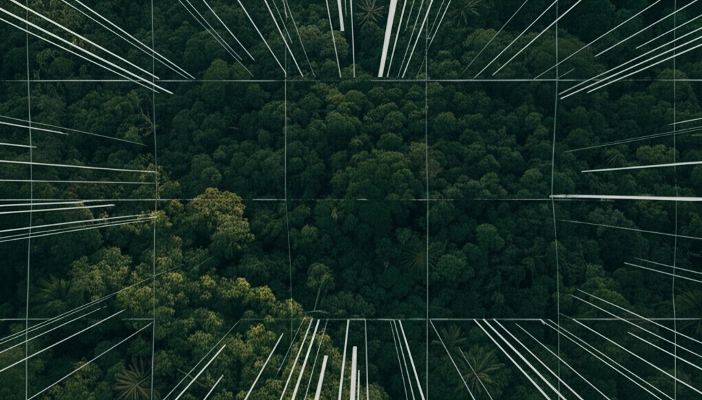
Forests are the lungs of our planet, vital for everything from clean air to carbon storage. Understanding and protecting these ecosystems is more critical than ever, especially in the face of climate change. Researchers are constantly seeking new ways to monitor forest health and biomass—the total mass of living organisms in a given area—to support effective conservation strategies.
Remote sensing technology, particularly satellite imagery, offers a powerful tool for assessing forests over vast areas. Landsat Thematic Mapper (TM) images, captured by satellites, provide detailed snapshots of forest landscapes. By analyzing these images, scientists can glean insights into forest structure, composition, and changes over time.
A recent study published in the Journal of the Indian Society of Remote Sensing delves into the use of Landsat TM images to estimate tropical forest biomass in Xishuangbanna, China. This region, known for its rich biodiversity and unique tropical ecosystems, serves as a crucial area for understanding forest dynamics. The researchers explored how topographic normalization techniques can improve the accuracy of biomass estimation, offering valuable insights for forest management and conservation.
Why Combine Satellite Images and Forest Biomass Data?
Estimating forest biomass accurately is essential for several reasons. First, it helps us understand the amount of carbon stored in forests, which is critical for climate change mitigation. Forests act as carbon sinks, absorbing carbon dioxide from the atmosphere and storing it in their biomass. By quantifying forest biomass, we can better assess the role of forests in regulating the global carbon cycle.
- Carbon Stock Assessment:Accurately measure how much carbon forests are storing.
- Health Monitoring:Detect early signs of forest distress or damage.
- Conservation Planning:Develop effective strategies for protecting valuable forest resources.
- Sustainable Management:Ensure forests are managed in a way that maintains their ecological integrity and economic value.
What's next?
The integration of remote sensing data and ground-based measurements holds immense potential for advancing our understanding and management of forest ecosystems. As technology continues to evolve, we can expect even more sophisticated tools and techniques for monitoring forest biomass and supporting conservation efforts worldwide. The findings from this study offer a valuable contribution to the field, paving the way for more effective and sustainable forest management practices in the years to come. By leveraging these advancements, we can work towards a future where forests thrive and continue to provide essential ecosystem services for generations to come.