Satellite view of coastline with sediment concentration layers.

Unlocking Coastal Secrets: How Satellites Track Sediment Movement

"Discover how researchers use Landsat OLI data to monitor seasonal changes in suspended sediment along India's Thiruvananthapuram coast, offering crucial insights for coastal management and conservation."


Understanding the movement and concentration of suspended sediments is crucial for managing coastal environments. These sediments, composed of fine particles like sand, silt, and clay, play a vital role in coastal ecosystems, influencing everything from water quality to the stability of shorelines. However, monitoring these dynamics can be challenging, especially over large areas and extended periods.

Traditional methods of monitoring sediment concentrations are often labor-intensive and limited in scope. Fortunately, satellite technology offers a powerful alternative. By analyzing remotely sensed images, scientists can gain a comprehensive view of sediment distribution and movement, enabling them to assess coastal changes and develop effective management strategies.

This article delves into a fascinating study that utilized data from the Landsat 8 Operational Land Imager (OLI) to monitor suspended sediment concentrations along the Thiruvananthapuram coast in southern India. We'll explore the methods used, the insights gained, and the implications for coastal zone management and conservation efforts.

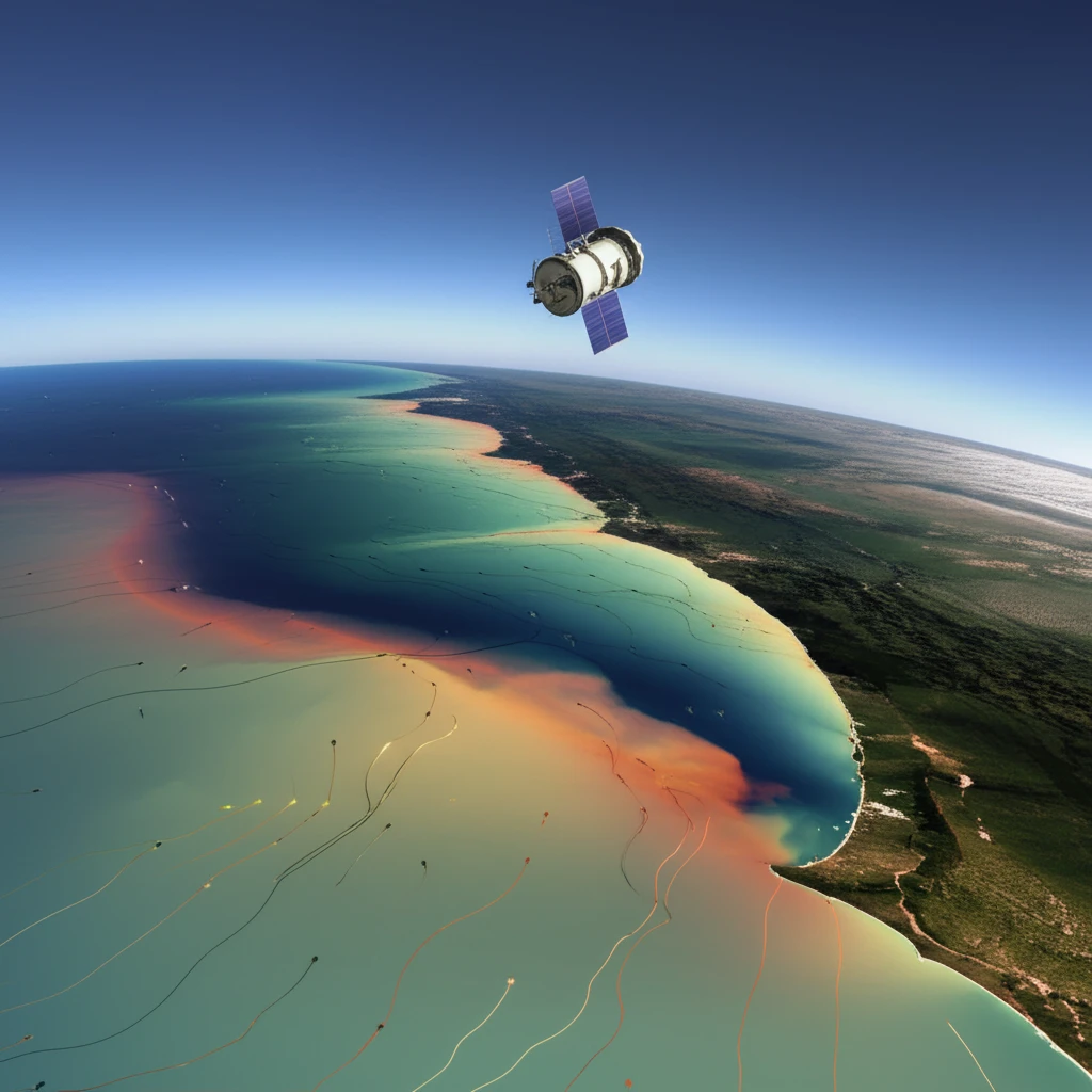
Decoding Sediment Secrets with Satellites: A Coastal Case Study

Satellite view of coastline with sediment concentration layers.

The study focused on the Thiruvananthapuram coast, a dynamic region facing challenges from erosion and human activities. Researchers used Landsat 8 OLI imagery from March and September 2017 to represent pre-monsoon and post-monsoon conditions, respectively. These images were processed to correct for atmospheric effects and convert the data into marine reflectance values, which are directly related to sediment concentrations.

A generic model was developed to compute spectral reflectance variability between coastal water and suspended sediments. The model helped to differentiate the spatial accumulation of suspended sediment concentrations from the coastal water at the pixel scale. Maximum (0.8% in near-infrared bands) and minimum (0.6% in blue bands) spectral reflectance indicates the occurrence of suspended sediments in the coastal water.

  • Seasonal Shifts: The study revealed seasonal variability in sediment movement. During the pre-monsoon period, sediments tended to move in a north-south direction, while the reverse occurred during the post-monsoon period.
  • Depth Matters: Sediment concentration decreased with increasing depth and distance from the shoreline, indicating that shallower waters closer to shore tend to have higher sediment loads.
  • Wave Action: Offshore wave and littoral current activity directly influenced sediment distribution, highlighting the importance of these hydrodynamic forces.
The results indicated that sediment concentration gradually decreased with increasing depth and distance from the shoreline. Higher concentrations were found in shallower waters due to wave and current action, with estimates ranging from 0.92 mg/L at depths less than 10 meters to 0.30 mg/L at 30 meters. This detailed mapping of sediment distribution provides valuable insights for understanding coastal processes and managing sediment-related issues.

Implications for the Future: Protecting Our Coasts with Data

This study demonstrates the effectiveness of using multi-temporal OLI images to estimate suspended sediment concentrations. The developed model, coupled with computational algorithms, provides a valuable tool for coastal zone management and conservation planning.

By understanding the seasonal variability and movement of sediments, coastal managers can make informed decisions about development, erosion control, and habitat protection. For example, identifying areas of high sediment accumulation can help prioritize erosion mitigation efforts, while understanding sediment transport patterns can inform the placement of coastal structures.

As satellite technology continues to advance, we can expect even more detailed and accurate monitoring of coastal environments. This will enable us to better understand the complex processes shaping our shorelines and develop sustainable strategies for protecting these valuable ecosystems for future generations. Remote sensing data could potentially be utilized as a tool for monitoring the sediments in the ocean.

About this Article -

This article was crafted using a human-AI hybrid and collaborative approach. AI assisted our team with initial drafting, research insights, identifying key questions, and image generation. Our human editors guided topic selection, defined the angle, structured the content, ensured factual accuracy and relevance, refined the tone, and conducted thorough editing to deliver helpful, high-quality information.See our About page for more information.

This article is based on research published under:

DOI-LINK: 10.5194/os-14-1085-2018, Alternate LINK

Title: Monitoring Of Seasonal Variability And Movement Of Suspended Sediment Concentrations Along The Thiruvananthapuram Coast, Southern India, Using The Landsat Oli Sensor

Subject: Cell Biology

Journal: Ocean Science

Publisher: Copernicus GmbH

Authors: Bismay Ranjan Tripathy, Kaliraj Seenipandi, Haroon Sajjad, Pawan Kumar Joshi, Bhagwan Singh Chaudhary, Pavan Kumar

Published: 2018-09-25

Everything You Need To Know

1

What are suspended sediments, and why are they significant?

Suspended sediments are fine particles like sand, silt, and clay that are carried in water. These sediments are vital to coastal ecosystems, impacting water quality and shoreline stability. Understanding their movement and concentration is crucial for managing coastal environments. The study's focus on the Thiruvananthapuram coast highlights the importance of this understanding in a region facing challenges from erosion and human activities.

2

What is Landsat 8 OLI, and how was it used in this context?

Landsat 8 OLI is a satellite-based instrument used to collect images of the Earth's surface. Researchers utilized Landsat 8 OLI imagery to analyze the movement of suspended sediments along the Thiruvananthapuram coast. The data from the instrument was processed to correct for atmospheric effects and determine marine reflectance values, which relate to sediment concentrations. This helps in assessing coastal changes and developing effective management strategies.

3

What seasonal patterns of sediment movement were found?

The study used Landsat 8 OLI imagery from March and September 2017 to represent pre-monsoon and post-monsoon conditions, respectively. The analysis showed seasonal variations, with sediment movement in a north-south direction during the pre-monsoon and the reverse during the post-monsoon. This understanding is crucial for coastal zone management because it reveals how sediment dynamics change with seasonal weather patterns, which informs strategies for erosion control and ecosystem preservation.

4

How did sediment concentration vary with depth and distance from the shoreline?

The findings revealed that sediment concentration decreased with increasing depth and distance from the shoreline. Shallower waters closer to the shore had higher sediment loads due to wave and current action. This information is significant because it provides a detailed understanding of sediment distribution patterns. This helps in predicting where sediment accumulates and how it affects the coastal ecosystem, informing targeted management efforts.

5

What are the implications of this study for coastal management and conservation?

The study's model and algorithms offer a valuable tool for coastal zone management and conservation planning. This includes the ability to monitor suspended sediment concentrations, understand seasonal variations, and assess the impact of wave and current activity. Such insights enable more effective strategies for erosion control, habitat preservation, and sustainable development, ultimately protecting coastal resources and communities. These insights are specifically applicable to the Thiruvananthapuram coast.

Newsletter Subscribe

Subscribe to get the latest articles and insights directly in your inbox.