
Unlocking the Seas: How Advanced Modeling is Revolutionizing Coastal Management

"Discover how cutting-edge hydrodynamic models are transforming our approach to coastal planning and resilience, offering new hope for vulnerable marine environments."
Coastal regions are hubs of human activity, facing increasing pressures from climate change, urbanization, and industrial development. Effective management of these dynamic environments requires a deep understanding of hydrodynamic processes, which govern everything from wave behavior to pollutant dispersion. Traditional methods often fall short in capturing the complexity of these interactions, leading to less effective strategies for coastal protection and resource management.
Fortunately, significant strides have been made in computational modeling, offering new tools to simulate and predict the behavior of coastal waters. Among these, coupled wave-3D hydrodynamics models stand out for their ability to integrate multiple factors influencing marine environments. These models not only enhance our understanding of coastal dynamics but also provide practical support for decision-making in critical areas.
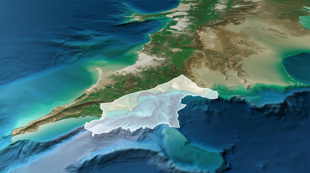
This article delves into the innovative application of a coupled wave-3D hydrodynamics model in the Taranto Sea, Italy, showcasing how advanced modeling techniques are paving the way for more informed and sustainable coastal management practices. Discover how this technology addresses real-world challenges and sets a new standard for environmental stewardship.
The Scale of Coastal Risk
A global database of fatal coastal cliff and slope failures recorded 292 fatalities across 114 events between 1927 and 2024, underscoring the persistent human toll of coastal hazards. Regionally, approximately half of Maine's coastline features bluffs, a statistic that guides land-use and development planning. These figures illustrate that coastal management must address both acute catastrophic events and chronic geomorphic vulnerabilities.
Conventional Methods and Their Gaps
Existing research on public willingness to pay for coastal erosion management has been limited in scope and sampling, often focusing on non-residents or tourists rather than the local populations most directly affected. The UK Parliamentary Office of Science and Technology has noted that an adaptive management approach is needed to better prepare for uncertain future sea-level rise under climate change. These limitations suggest that current methods may not fully capture community priorities or adequately plan for deeply uncertain futures.
Foundations of Coastal Risk Management
Coastal management histories such as that at Wamberal document how plans have long sought to balance risks to public safety, built assets, coastal ecosystems, and community uses of coastal zones. In Western Australia, early assessments of coastal erosion hotspots framed management and adaptation options as guidance rather than final plans, focusing on the planning component of the regulatory framework. These foundational efforts established the principle that coastal management must be iterative and embedded within broader regulatory structures.
The Taranto Sea Model: A Deep Dive
Researchers have successfully developed and validated a sophisticated multiscale modeling system tailored for the Gulf of Taranto in Southern Italy. This system employs a multiple-nesting approach, integrating data from large-scale oceanographic models with high-resolution coupled wave-3D hydrodynamics simulations specifically for the Mar Grande area within the Taranto Sea. The model leverages open-source numerical models and refines them to meet the unique challenges of this coastal environment.
- Large-Scale Data: Utilizing the Mediterranean Forecasting System (MFS) for broad oceanographic conditions.
- Regional Refinement: Integrating the Southern Adriatic Northern Ionian coastal Forecasting System (SANIFS) for enhanced coastal data.
- Wave Dynamics: Employing the TOMAWAC spectral module to simulate wave propagation from the Crotone buoy.
- 3D Hydrodynamics: Using the TELEMAC3D module for detailed hydrodynamic simulations in the Taranto Sea.
Equity and Monitoring in Recent Research
Recent research has demonstrated that coastal management practices have largely benefited wealthy, white communities, raising significant equity concerns. The same body of work highlights the growing possibility of conducting scientific coastal monitoring in collaboration with the public, suggesting more inclusive methodologies are emerging. These findings signal a shift toward recognizing both the social dimensions and participatory potential of coastal management science.
Persistent Barriers to Effective Management
Bangladesh's complex coastline, frequently affected by natural hazards, illustrates the challenges of implementing Integrated Coastal Zone Management as a dynamic, multidisciplinary process. In African coastal cities, studies on smart flood-resilience technologies have identified common barriers including funding limitations, data gaps, and fragmented governance. Across diverse contexts, these systemic obstacles continue to undermine the effectiveness of coastal management efforts despite advancing technical capabilities.
Comparing Remote Sensing Technologies
The Leica CoastalMapper represents a specialized remote sensing tool designed to see through water for coastal mapping, and it is positioned against alternative technologies based on criteria such as depth capability. Such comparative assessments help practitioners evaluate which tools best suit specific coastal management tasks and environments. As remote sensing options diversify, systematic comparison becomes essential for selecting cost-effective and accurate monitoring solutions.
Looking Ahead: The Future of Coastal Modeling
The success of the Taranto Sea model underscores the potential of advanced hydrodynamics modeling to transform coastal management practices. By providing detailed and accurate predictions of marine environments, these models empower decision-makers to develop more effective strategies for protecting coastal communities and ecosystems. As technology advances and data availability increases, we can expect even more sophisticated modeling tools to play a vital role in ensuring the sustainability of our coastlines.
Expert Calls for Legal and Strategic Rethink
Professor Tim Smith's new international research challenges the legal foundations of coastal property rights, noting that councils along Australia's east coast have faced significant backlash from beachfront homeowners resisting managed retreat. Coastal management expert Geoff Wescott has echoed this, arguing that state governments should follow the UK model of identifying which sections of coastline to fight to preserve and where retreat is necessary. Together, these expert perspectives highlight a growing tension between property rights and the strategic withdrawal demanded by rising seas.
Resilience as the Central Paradigm
In the United States, more than 50 percent of the population inhabits coastal areas, making resilience a central concept for all future coastal planning and management. In the UK, where coastal erosion threatens homes and infrastructure, analysts argue that future coastal management must incorporate social resilience strategies—not just physical adaptation but support for the mental health of affected communities and protection of their privacy during transitions. These perspectives point toward a future in which coastal management is as much a social endeavor as a technical one.
Governance and Funding Gaps
Assessments of coastal erosion hotspots in Western Australia have investigated the mechanisms that local governments use to raise funds for coastal management, revealing that funding remains a critical and unresolved challenge. The broader literature in journals such as Coastal Management continues to document the complexity of coordinating governance across multiple jurisdictions and timescales. These systemic challenges persist even as the scientific understanding of coastal hazards advances.
Human Pressures and Adaptive Tools
Human pressures on coastal systems include erosion, habitat degradation, and disturbances to marine ecosystems, all of which demand coordinated monitoring and response. In Australia, the development of CoastAdapt—a decision-support framework—exemplifies efforts to help coastal managers assess climate vulnerability using tools such as Fuzzy Cognitive Mapping. These case studies demonstrate that effective coastal management increasingly depends on translating scientific data into actionable guidance for stakeholders on the ground.