Unlock Your Farm's Potential: How Aerial Tech Can Boost Pasture Health
"Discover how drone-based remote sensing revolutionizes nitrogen management in Brachiaria decumbens pastures, improving yield and sustainability."
In the world of modern agriculture, staying competitive means embracing innovative techniques that optimize resource use and maximize yields. For cattle farmers, pasture health is paramount, directly impacting the quality and quantity of bovine meat production. Traditional methods of assessing pasture conditions can be time-consuming and often lack the precision needed for effective management. Enter the era of remote sensing, offering a bird's-eye view of pasture health and nutritional status.
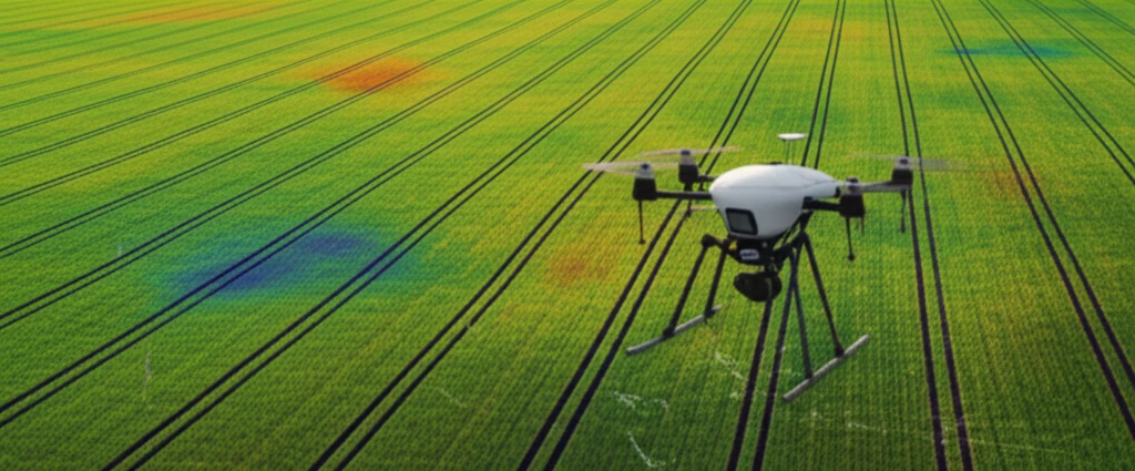
A recent study published in Engenharia Agrícola explores the use of an aerial remote sensing system to detect variations in the nutritional status of Brachiaria decumbens, a common pasture grass. This research highlights how digital images, captured from cameras mounted on a helium balloon, can be used to assess the impact of different nitrogen levels on pasture growth. Nitrogen, a crucial nutrient for plant development, plays a significant role in forage productivity. Efficient nitrogen management is not only essential for maximizing yields but also for minimizing environmental impact.
This article delves into the findings of this study, explaining how aerial remote sensing can revolutionize pasture management. We'll break down the methods used, the key results obtained, and the practical implications for farmers looking to enhance pasture health, optimize fertilizer use, and promote sustainable farming practices. Whether you're a seasoned agricultural professional or new to the field, understanding these advancements can unlock your farm's full potential.
Nitrogen's Impact: Seeing the Unseen with Aerial Imaging
The study's core objective was to determine if digital images acquired via balloon-mounted cameras could effectively detect variations in the nutritional status of Brachiaria decumbens pastures. Researchers applied five different doses of nitrogen fertilizer (0, 50, 100, 150, and 200 kg ha⁻¹) to the pastures and then used a remote sensing system to capture images at varying heights (15, 20, 25, and 30 meters). The system consisted of digital cameras, microcomputers, and a helium balloon used to lift the cameras, and a chlorophyll meter to measure the nitrogen content.
- NDVI (Normalized Difference Vegetation Index): Measures the difference between near-infrared and red light reflected by vegetation.
- GNDVI (Green Normalized Difference Vegetation Index): Similar to NDVI but uses green light instead of red light.
- SAVI (Soil Adjusted Vegetation Index): Modifies NDVI to minimize the impact of soil brightness.
Sky-High Insights for Down-to-Earth Results
This study demonstrates the potential of aerial remote sensing as a valuable tool for assessing pasture health and optimizing nitrogen management. By using balloon-mounted cameras and analyzing vegetation indices, farmers can gain a more precise understanding of the nutritional status of their pastures.
The findings suggest that GNDVI, which utilizes the green spectral band, is particularly effective in detecting nutritional variations in Brachiaria decumbens. This information can help farmers tailor their fertilizer applications, ensuring that pastures receive the right amount of nitrogen to maximize yields without over-fertilizing.
Embracing aerial remote sensing technology can lead to more sustainable farming practices, reduced environmental impact, and healthier, more productive pastures. As technology continues to advance, expect even more sophisticated tools to emerge, further empowering farmers to make informed decisions and optimize their operations.