Rice paddies with data visualizations, representing climate-smart farming.

Rice Farming Revolution: How Tech & Climate Insights Boost Yields

"Discover how cutting-edge agrometeorological-spectral models are transforming rice production in Brazil, offering a glimpse into the future of sustainable agriculture."


Rice is a staple food for billions, and Brazil stands as a major producer. But unpredictable weather can wreak havoc on harvests. In the Rio Grande do Sul, which accounts for a significant portion of Brazil's rice production, farmers are constantly battling the elements to ensure a stable and productive yield.

Traditional methods of predicting rice yields often rely on time-consuming surveys and subjective data. However, a new approach is gaining traction: agrometeorological-spectral modeling. This innovative technique combines climate data with spectral analysis to provide more accurate and timely yield predictions.

The goal? To empower farmers with the knowledge they need to make informed decisions, optimize their practices, and secure a more sustainable future for rice production.

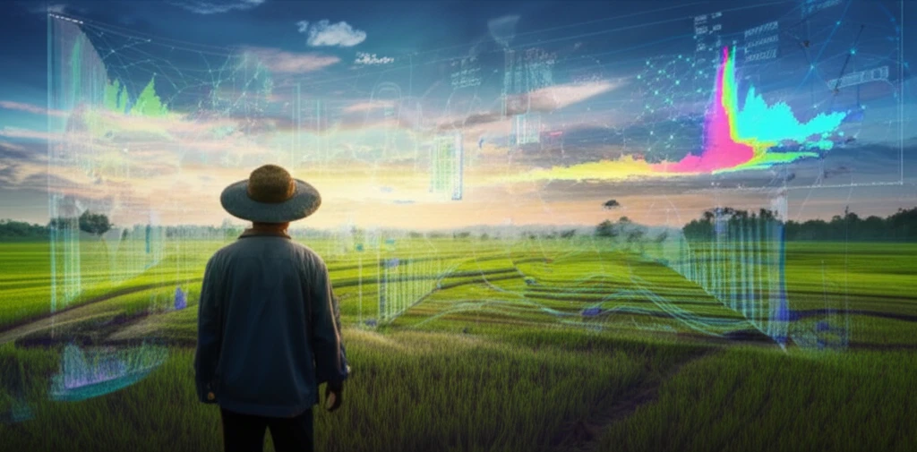
Decoding Agrometeorological-Spectral Modeling: A Farmer's Toolkit

Rice paddies with data visualizations, representing climate-smart farming.

Agrometeorological-spectral modeling might sound like something out of a science fiction novel, but the core concept is simple. It's all about using readily available data to understand how the environment affects rice growth. The study out of Brazil focused on the six key rice-growing regions of the State, leveraging a decade's worth of data from 2000 to 2010.

The researchers combined several critical data sources into their model:

  • Rice Yield and Area: Official data on rice yields and cultivated areas provided a baseline for the model.
  • Weather Data: Daily minimum air temperatures from 17 weather stations offered insights into temperature's impact.
  • NDVI Imagery: Satellite images of the Normalized Difference Vegetation Index (NDVI) from the MODIS sensor revealed the health and vigor of the rice crops. NDVI measures the greenness of vegetation, indicating biomass and photosynthetic activity.
By integrating these data streams, scientists could build a model that connects weather patterns and plant health with final rice yields.

A Future of Data-Driven Farming

This research offers a powerful glimpse into the future of rice farming. By harnessing the power of climate data and spectral analysis, farmers can gain a deeper understanding of their crops and make more informed decisions. This translates to more efficient resource use, higher yields, and a more sustainable food system. As climate change continues to impact agricultural practices, these innovative tools will become increasingly vital for ensuring food security and empowering farmers around the globe.

About this Article -

This article was crafted using a human-AI hybrid and collaborative approach. AI assisted our team with initial drafting, research insights, identifying key questions, and image generation. Our human editors guided topic selection, defined the angle, structured the content, ensured factual accuracy and relevance, refined the tone, and conducted thorough editing to deliver helpful, high-quality information.See our About page for more information.

Everything You Need To Know

1

What is agrometeorological-spectral modeling, and why is it important for rice production?

Agrometeorological-spectral modeling is a technique that combines climate data, such as temperature, with spectral analysis, like NDVI imagery, to predict crop yields. It's significant because it offers a more accurate and timely alternative to traditional yield prediction methods, enabling farmers to make better decisions. The implications are that it can lead to optimized resource use, higher yields, and a more sustainable food system. While this approach uses rice yield, weather data, and NDVI imagery, other factors such as soil composition and water availability are not explicitly included but could further enhance the model's accuracy.

2

What is NDVI imagery, and how is it used in predicting rice yields?

NDVI, or Normalized Difference Vegetation Index, is a measure of the greenness of vegetation obtained from satellite images. It is important because it indicates the health and vigor of crops by reflecting biomass and photosynthetic activity. The NDVI imagery helps scientists assess the condition of rice crops over large areas without physically inspecting each field. While NDVI is a strong indicator, it doesn't capture all aspects of plant health, such as disease or nutrient deficiencies, which could be considered in addition to this analysis.

3

What are the key data sources used in agrometeorological-spectral modeling for rice farming?

The key data sources used in this modeling are rice yield and area statistics, weather data (specifically daily minimum air temperatures), and NDVI imagery. Official data on rice yields and cultivated areas provide a baseline for the model, and weather data offers insights into temperature's impact. Integrating these data streams enables scientists to connect weather patterns and plant health with final rice yields. Additional data related to soil health and irrigation practices could further improve the model.

4

How do agrometeorological-spectral models specifically help rice farmers?

Agrometeorological-spectral models help farmers by providing them with timely and accurate predictions of rice yields. The models empower farmers to make informed decisions about planting, irrigation, fertilization, and harvesting, leading to more efficient resource use and higher yields. With this information farmers can respond proactively to climate variability, mitigating potential losses and securing a more sustainable income. The models can be further expanded to provide specific recommendations for optimizing farming practices based on predicted conditions.

5

Why is this research on rice farming in Brazil significant for the future of agriculture?

This research is important because it points towards a future of data-driven farming, where technology and climate insights play a crucial role in ensuring food security. It highlights the potential of innovative tools to help farmers adapt to climate change and optimize their practices. The broader implications are that these tools can be applied to other crops and regions, contributing to a more sustainable and resilient global food system. Further research could explore integrating socioeconomic factors to provide a more holistic view of agricultural sustainability.

Newsletter Subscribe

Subscribe to get the latest articles and insights directly in your inbox.