Precision Farming: How Tech is Boosting Rice Yields in Brazil
"A new study reveals how an agrometeorological-spectral model is helping Rio Grande do Sul farmers optimize rice production through data-driven insights."
Rice is a staple crop for billions worldwide, and ensuring its sustainable production is a global priority. In Brazil, the state of Rio Grande do Sul plays a crucial role in the nation's rice supply. However, unpredictable weather patterns can significantly impact crop yields, making it essential for farmers to adopt innovative strategies to mitigate these risks.
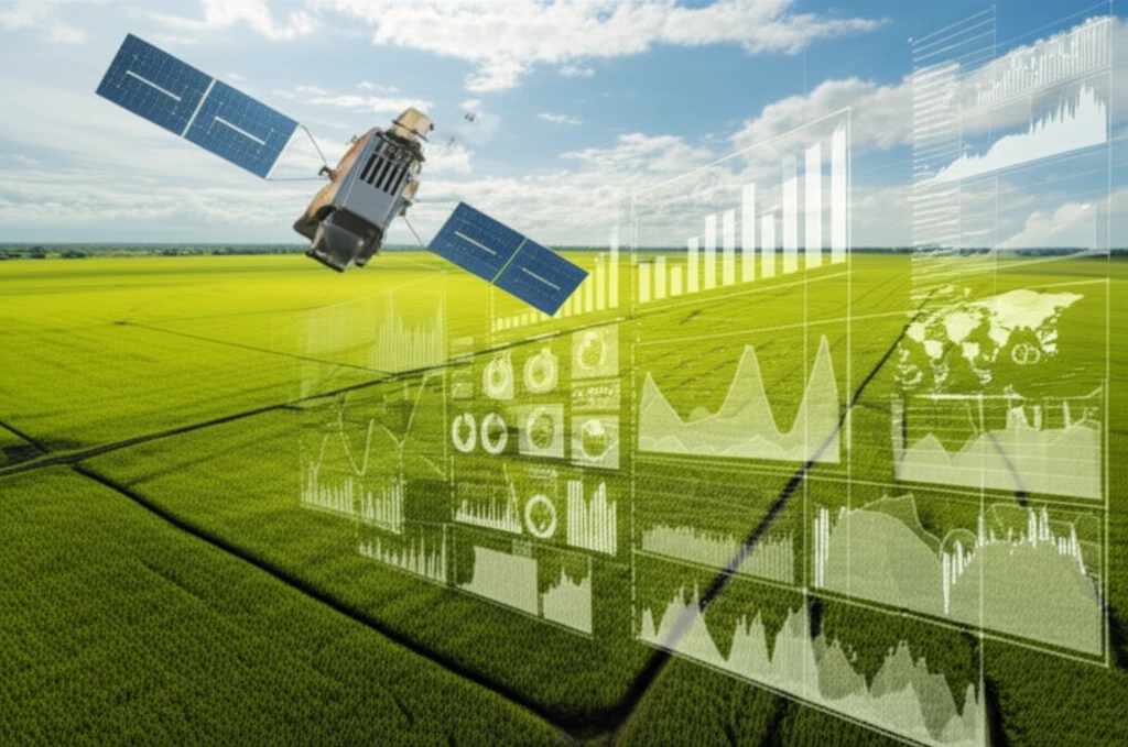
Traditional methods of crop monitoring often rely on manual surveys and historical data, which can be time-consuming and subjective. To address these limitations, researchers have been exploring the potential of agrometeorological-spectral models, which integrate weather data with remote sensing information to provide more accurate and timely yield estimates.
A recent study published in Bragantia journal delves into the development and application of such a model for irrigated rice in Rio Grande do Sul. By combining meteorological data, satellite imagery, and crop information, this model offers valuable insights for farmers seeking to optimize their yields and adapt to changing environmental conditions.
Decoding the Agrometeorological-Spectral Model: A Farmer's Toolkit
The agrometeorological-spectral model developed in this study leverages a combination of data sources to estimate rice grain yield. Here's a breakdown of the key components:
- Crop Data: Information on cultivated area and rice grain yield.
- Weather Data: Meteorological data (temperature) collected from various stations in the region.
- Satellite Imagery: Normalized Difference Vegetation Index (NDVI) data from the MODIS sensor, capturing vegetation health and density.
Empowering Farmers with Data-Driven Decisions
This study demonstrates the potential of agrometeorological-spectral models to provide accurate and timely rice yield estimates. By integrating weather data, satellite imagery, and crop information, the model offers farmers a valuable tool for optimizing their practices, mitigating risks, and promoting sustainable rice production.