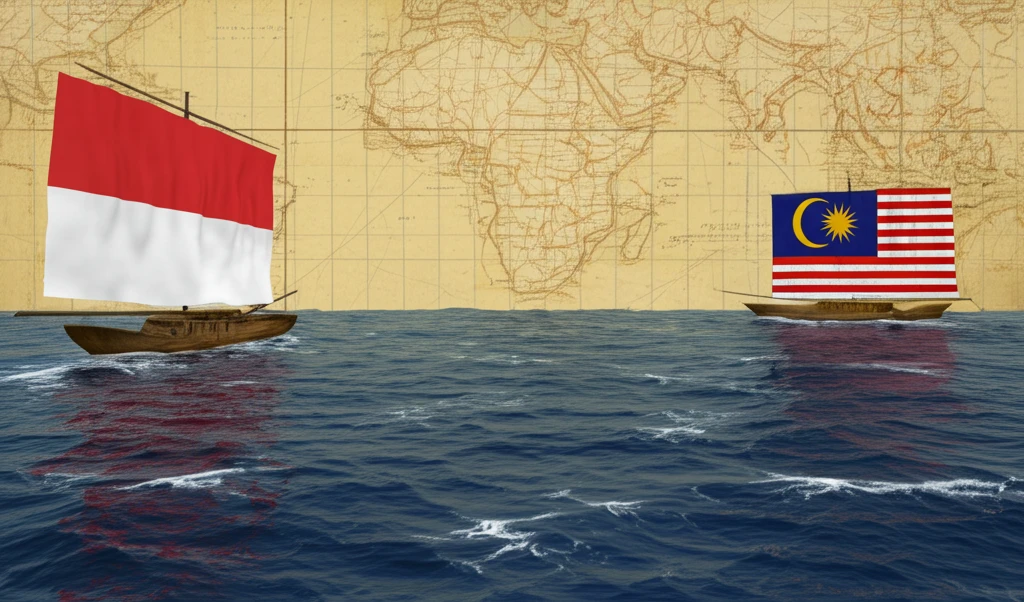
Maritime Boundaries: How Indonesia and Malaysia Negotiated Their Seas
"Explore the untold stories of maritime boundary negotiations between Indonesia and Malaysia, shaping Southeast Asian geopolitics."
The seas between nations are not just bodies of water; they are zones of resources, strategy, and sovereignty. For Indonesia and Malaysia, two Southeast Asian giants, defining these maritime boundaries has been a decades-long endeavor filled with diplomatic maneuvering, technical challenges, and the ever-present specter of historical claims.
In 1969, as the world watched the space race and cultural revolutions, delegations from Indonesia and Malaysia gathered in Kuala Lumpur. Their mission: to negotiate the continental shelf boundary between them, an issue that touched upon the Straits of Malacca, the South China Sea, and the Sulawesi Sea. This was not merely about drawing lines on a map; it was about defining future access to resources and solidifying national identities.
This article navigates through the intricacies of these negotiations, drawing upon historical documents and expert insights to reveal the hidden layers of these critical discussions. Discover how individuals like Admiral Adi Sumardiman, armed with maps and legal acumen, played pivotal roles in shaping the maritime landscape we know today.
Charting the Course: The Initial Deliberations of 1969

In September 1969, representatives from Indonesia and Malaysia convened in Kuala Lumpur to address the complex issue of their shared continental shelf. The negotiations spanned four critical areas: the Straits of Malacca, the eastern and western sectors of the South China Sea, and the waters off East Kalimantan and Sabah in the Sulawesi Sea. The Indonesian delegation included legal and technical experts, with Admiral Adi Sumardiman, a Geodetic Engineer, leading the technical team.
- Initial Agreement: Both sides agreed to a median line approach for delimitation purposes.
- Technical Teams: The Indonesian Naval Hydrographic Office and the Malaysian National Mapping Department formed teams to designate line coordinates.
- Key Participants: Major Oemarijoto and Mr. Soembarjono from Indonesia worked alongside Mr. Hadji Yatim and Kok Swee Tuck from Malaysia.
From Disagreement to Delimitation: The Long Road to Maritime Accord
The maritime boundary negotiations between Indonesia and Malaysia were a complex interplay of historical claims, technical data, and geopolitical considerations. Individuals like Admiral Adi Sumardiman played pivotal roles, navigating through cartographic discrepancies and sovereignty disputes. While challenges remain, the collaborative efforts underscore the importance of dialogue and diplomacy in resolving maritime issues, setting a precedent for future negotiations in the region and beyond.
