Satellite view of Amazon rainforest with energy beams representing radiative balance

Decoding the Amazon: How Satellites and Ground Data Reveal the Rainforest's Secrets

"New research combines satellite data with on-the-ground measurements to validate climate models in the Amazon rainforest, offering critical insights for conservation and climate change strategies."


The Amazon rainforest, a vast and vital ecosystem, is under increasing pressure from deforestation and land-use changes. These transformations significantly impact regional hydrology and climate, making it crucial to accurately monitor and understand these effects.

For decades, researchers have conducted meteorological experiments in the Amazon to study energy dynamics and evapotranspiration. However, ground-based measurements are limited in scope due to the Amazon's vastness and diversity. Remote sensing offers a valuable alternative, providing broad spatial and temporal coverage for estimating radiative balance components.

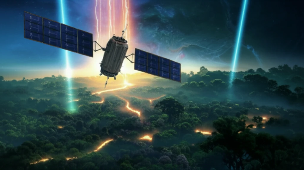
This article explores a pioneering study that combines data from the Moderate Resolution Imaging Spectroradiometer (MODIS) aboard the TERRA satellite with surface measurements from the Large-Scale Biosphere-Atmosphere Experiment in Amazonia (LBA) project. By validating the Surface Energy Balance Algorithms for Land (SEBAL) model, this research enhances our ability to monitor and understand the Amazon's complex interactions with the atmosphere.

What is Radiative Balance and Why Does It Matter?

Satellite view of Amazon rainforest with energy beams representing radiative balance

Radiative balance refers to the equilibrium between incoming solar radiation and outgoing radiation from a surface, such as the Earth's surface. Understanding this balance is crucial for assessing energy fluxes, which drive various environmental processes, including:

Measuring radiative balance helps scientists quantify how much energy is available for:

  • Directly heating the atmosphere.
  • Evaporating water.
  • Influencing local and regional climates.
By accurately measuring and modeling radiative balance, researchers can better predict climate change impacts and develop effective conservation strategies.

The Future of Amazon Monitoring

Combining remote sensing data with ground-based measurements offers a powerful approach for monitoring the Amazon rainforest and its radiative balance. As technology advances, future research can refine these models, providing even more accurate and detailed insights into this critical ecosystem. This integrated approach supports better understanding, conservation efforts, and climate change mitigation strategies for one of the world's most vital regions.

About this Article -

This article was crafted using a human-AI hybrid and collaborative approach. AI assisted our team with initial drafting, research insights, identifying key questions, and image generation. Our human editors guided topic selection, defined the angle, structured the content, ensured factual accuracy and relevance, refined the tone, and conducted thorough editing to deliver helpful, high-quality information.See our About page for more information.

Everything You Need To Know

1

What is radiative balance, and why is it important for understanding the Amazon rainforest?

Radiative balance refers to the equilibrium between incoming solar radiation and outgoing radiation from a surface, like the Earth's surface. It's essential because it allows us to assess energy fluxes, which drive heating of the atmosphere, evaporation of water, and influence local and regional climates. By accurately measuring and modeling radiative balance, scientists can better predict climate change impacts and develop effective conservation strategies. Accurately determining the radiative balance in areas like the Amazon is difficult without combining ground based and remote sensing techniques.

2

What is the Large-Scale Biosphere-Atmosphere Experiment in Amazonia (LBA), and why are its measurements important?

The Large-Scale Biosphere-Atmosphere Experiment in Amazonia, or LBA, is a research project conducting surface measurements in the Amazon. These measurements are important because they provide on-the-ground data that can be used to validate and improve climate models. By comparing LBA data with satellite data, researchers can refine our understanding of the Amazon's complex interactions with the atmosphere. The LBA project is critical to improving our monitoring and modeling capabilities.

3

How is the Surface Energy Balance Algorithms for Land (SEBAL) model used in the research, and why is it important?

The Surface Energy Balance Algorithms for Land, or SEBAL model, is enhanced through research combining satellite data with surface measurements. By validating the SEBAL model using data from MODIS and LBA, scientists can improve its accuracy in monitoring and understanding the Amazon's interactions with the atmosphere. More accurate models are critical to understanding the effects of deforestation and land use changes.

4

What role does the Moderate Resolution Imaging Spectroradiometer (MODIS) play in monitoring the Amazon, and why is it valuable?

The Moderate Resolution Imaging Spectroradiometer, or MODIS, aboard the TERRA satellite, provides broad spatial and temporal coverage for estimating radiative balance components in the Amazon rainforest. MODIS offers a valuable alternative to ground-based measurements, which are limited in scope due to the Amazon's vastness and diversity. Combining MODIS data with surface measurements enhances our ability to monitor and understand the Amazon's complex interactions with the atmosphere. Alone it does not give a complete picture but it is invaluable to monitor the area.

5

Why is it important to combine remote sensing data with ground-based measurements when studying the Amazon rainforest?

Combining remote sensing data with ground-based measurements offers a powerful approach for monitoring the Amazon rainforest and its radiative balance. This integrated approach supports better understanding, conservation efforts, and climate change mitigation strategies for one of the world's most vital regions. As technology advances, future research can refine these models, providing even more accurate and detailed insights into this critical ecosystem. With better data we can better predict climate change impacts and develop effective conservation strategies.

Newsletter Subscribe

Subscribe to get the latest articles and insights directly in your inbox.