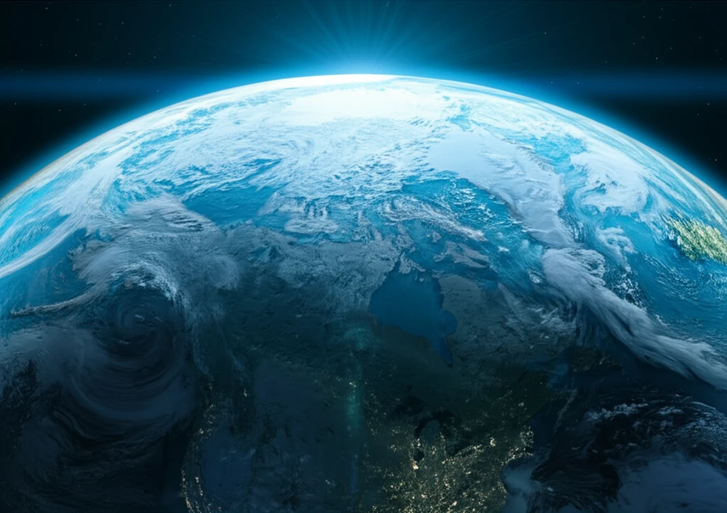
Surreal illustration of Earth during the Last Glacial Maximum, showcasing vast ice sheets and altered coastlines.

Unlocking Earth's Past: How Glacial Maximum Boundaries Shape Our World

"Delve into the groundbreaking research on how Last Glacial Maximum conditions influence global climate patterns, revealing key insights for predicting future changes."


Understanding Earth's climate history is essential for predicting future environmental changes. Scientists are continually working to decipher the complex interactions that governed past climate states, offering valuable insights into our planet's future. One significant period of study is the Last Glacial Maximum (LGM), a time of profound environmental shifts.

The Last Glacial Maximum, which occurred approximately 19,000 to 23,000 years ago, was characterized by extensive ice sheets, altered sea levels, and significant changes in atmospheric composition. These conditions dramatically influenced global climate patterns, making it a key period for understanding the dynamics of climate change.

Recent research leverages advanced climate models to explore how various factors during the LGM—such as greenhouse gas concentrations, ice sheet distribution, sea surface temperatures, and orbital parameters—individually and collectively shaped global climate patterns. By examining these elements, scientists aim to refine our understanding of climate sensitivity and improve predictions of future climate scenarios.

What Were the Key Boundary Conditions of the Last Glacial Maximum?

Surreal illustration of Earth during the Last Glacial Maximum, showcasing vast ice sheets and altered coastlines.

During the Last Glacial Maximum, several key factors influenced the global climate system:

Ice Sheets: Large portions of North America and Eurasia were covered by massive ice sheets. The Laurentide Ice Sheet, for example, extended over much of Canada and the northern United States, significantly impacting atmospheric circulation through both topographic and thermal forcing.

  • Sea Level: The global sea level was approximately 120 meters lower than present levels due to the vast amount of water stored in ice sheets.
  • Albedo: Newly exposed land areas and changes in vegetation altered the Earth's surface albedo (reflectivity), affecting the absorption of solar radiation.
  • Greenhouse Gases: Atmospheric concentrations of greenhouse gases, particularly carbon dioxide (CO2), were significantly lower, around 185 ppmv compared to the pre-industrial level of 280 ppmv.
  • Orbital Parameters: Changes in Earth’s orbit affected the distribution of solar radiation, influencing seasonal climate patterns.
These boundary conditions did not act in isolation; rather, they interacted in complex ways to shape regional and global climate patterns. Climate models are essential tools for unraveling these intricate interactions.

What Can We Learn From the Last Glacial Maximum?

The study of the Last Glacial Maximum provides critical insights into the sensitivity of Earth's climate system. By understanding how different factors influenced climate patterns during this period, scientists can better assess the potential impacts of future changes in greenhouse gas concentrations, ice sheet dynamics, and other key variables. This knowledge is crucial for developing more accurate climate models and informing strategies for mitigating the effects of climate change.

About this Article -

This article was crafted using a human-AI hybrid and collaborative approach. AI assisted our team with initial drafting, research insights, identifying key questions, and image generation. Our human editors guided topic selection, defined the angle, structured the content, ensured factual accuracy and relevance, refined the tone, and conducted thorough editing to deliver helpful, high-quality information.See our About page for more information.

This article is based on research published under:

DOI-LINK: 10.5194/cp-9-789-2013, Alternate LINK

Title: Influence Of Last Glacial Maximum Boundary Conditions On The Global Water Isotope Distribution In An Atmospheric General Circulation Model

Subject: Paleontology

Journal: Climate of the Past

Publisher: Copernicus GmbH

Authors: T. Tharammal, A. Paul, U. Merkel, D. Noone

Published: 2013-03-20

Everything You Need To Know

1

What were the major differences in Earth's conditions during the Last Glacial Maximum compared to today?

During the Last Glacial Maximum, there were significant differences compared to present-day conditions. Large portions of North America and Eurasia were covered by massive ice sheets, such as the Laurentide Ice Sheet. The global sea level was approximately 120 meters lower, and atmospheric concentrations of greenhouse gases, particularly carbon dioxide (CO2), were significantly lower, around 185 ppmv compared to the pre-industrial level of 280 ppmv. Also, Earth's orbital parameters were different, affecting the distribution of solar radiation and influencing seasonal climate patterns. These factors combined to create a drastically different global climate.

2

How did the lower sea level during the Last Glacial Maximum affect Earth's albedo?

The lower sea level during the Last Glacial Maximum exposed new land areas. This, along with changes in vegetation, altered Earth’s surface albedo, which is the measure of how much solar radiation is reflected back into space. Newly exposed land typically has a higher albedo than ocean water, leading to greater reflection of solar radiation. This increased albedo reduced the amount of solar energy absorbed by the planet, contributing to the overall cooler temperatures experienced during that period. This is a crucial element in understanding climate dynamics, although the specifics require detailed modeling of land surface types and their reflective properties.

3

Why is studying the Last Glacial Maximum important for understanding future climate change?

Studying the Last Glacial Maximum provides critical insights into the sensitivity of Earth's climate system. By understanding how factors like greenhouse gas concentrations, ice sheet distribution, and sea surface temperatures influenced climate patterns during this period, scientists can better assess the potential impacts of future changes in these variables. This knowledge is crucial for developing more accurate climate models and informing strategies for mitigating the effects of climate change. Essentially, it allows us to test and refine our models against a known, significantly different climate state.

4

In what ways did the Laurentide Ice Sheet influence atmospheric circulation during the Last Glacial Maximum?

The Laurentide Ice Sheet, which covered much of Canada and the northern United States during the Last Glacial Maximum, significantly impacted atmospheric circulation through both topographic and thermal forcing. Topographically, the massive ice sheet acted as a physical barrier, diverting airflows and altering wind patterns. Thermally, the ice sheet created a large area of cold temperatures, which influenced the formation of high-pressure systems and further altered atmospheric circulation. These effects rippled through the global climate system, affecting weather patterns far beyond the immediate vicinity of the ice sheet. To fully understand the effect scientists use high-resolution climate models to simulate these complex interactions.

5

How do climate models help us understand the interactions between different boundary conditions during the Last Glacial Maximum, and what are the limitations?

Climate models are essential tools for unraveling the complex interactions between various boundary conditions during the Last Glacial Maximum, such as ice sheets, greenhouse gases, sea surface temperatures, and orbital parameters. These models allow scientists to simulate how these factors interacted to shape regional and global climate patterns. By running simulations with different combinations of boundary conditions, researchers can isolate the effects of individual factors and understand their relative importance. However, climate models have limitations. They are simplifications of the real world and rely on numerous assumptions and parameterizations. The accuracy of the simulations depends on the quality of the input data and the comprehensiveness of the model's representation of physical processes. Additionally, computational constraints limit the resolution and complexity of the models, potentially affecting the accuracy of the results. Despite these limitations, climate models remain the best available tool for understanding past climates and predicting future climate changes.

Newsletter Subscribe

Subscribe to get the latest articles and insights directly in your inbox.