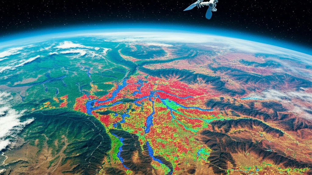
Unlock Nature's Secrets: How Satellites are Mapping Leaf Health
"Discover the groundbreaking use of Sentinel-2 imagery to monitor leaf nitrogen levels and transform rangeland management for a healthier planet."
Rangelands, covering over half of the Earth's land surface, are crucial for global food production and the livelihoods of millions, particularly in rural communities. As the world's population surges towards a projected 9 billion by 2050, primarily in developing nations, the strain on these vital ecosystems intensifies. This escalating demand, coupled with ongoing climate change, accelerates land degradation, threatening both food security and the delicate balance of rangeland environments.
Enter leaf nitrogen concentration, a key indicator of vegetation health and forage quality, essential for understanding ecosystem dynamics and herbivore behavior. Traditionally, assessing leaf nitrogen levels required extensive, costly, and time-consuming field data collection. However, satellite remote sensing offers a powerful, efficient alternative, enabling the monitoring of vast geographic areas over time.
Recent advancements in satellite technology, such as the Sentinel-2 mission by the European Space Agency (ESA), provide freely available, high-resolution imagery, including crucial red edge bands. These bands are particularly sensitive to changes in leaf chlorophyll content, making them invaluable for estimating leaf nitrogen at a regional scale. This article explores how Sentinel-2 data, combined with field spectroscopy, is revolutionizing our ability to map and monitor leaf health, offering critical insights for sustainable rangeland management and environmental conservation.
Decoding Leaf Nitrogen with Satellite Imagery

The core of this innovative approach lies in creating predictive models that link field-measured spectral data with satellite imagery. Researchers collect leaf samples and measure their spectral reflectance using a field spectrometer, like an Analytical Spectral Device (ASD). This spectrometer captures the unique way leaves reflect light across different wavelengths, providing a spectral "fingerprint".
- Data Collection: Gathering leaf samples and measuring their spectral reflectance using an ASD spectrometer.
- Spectral Resampling: Adjusting the spectrometer data to match the Sentinel-2 spectral bands.
- Atmospheric Correction: Using Sen2Cor to reduce atmospheric distortions in Sentinel-2 images.
- Model Development: Creating statistical models to link spectral data with leaf nitrogen content.
Looking Ahead: The Future of Rangeland Monitoring
The ability to accurately map and monitor leaf nitrogen distribution using Sentinel-2 imagery opens new frontiers for sustainable rangeland management. By understanding the spatial and temporal dynamics of leaf nitrogen, stakeholders can make informed decisions about grazing practices, fire management, and land restoration efforts. This technology empowers us to protect these vital ecosystems, ensuring their resilience in the face of a changing climate and increasing population pressures. As remote sensing technology advances, we can expect even more sophisticated tools to aid in the quest for a healthier, more sustainable planet.
