Unlock Bountiful Harvests: How Understanding Soil Composition Boosts Corn Yield
"Maximize Your Corn Yield: A Guide to Spatial Soil Analysis and Precision Agriculture"
For farmers, maximizing crop yield is paramount, and understanding the nuances of soil composition is a cornerstone of achieving this goal. Soil properties play an important role in spatial variability of crop yield. While the connection between crop yield maps and soil properties has not been spatially correlated, there is much to explore.
Recent research provides a great insight into the relationship between soil attributes and corn yield. The study emphasizes that a detailed analysis of soil properties, coupled with precision agriculture techniques, can lead to a substantial improvement in crop production.
This article breaks down the key findings of the study, offering actionable insights for farmers and agriculture enthusiasts looking to optimize their corn yield through informed soil management. By diving into the methodologies and outcomes of the research, we can uncover valuable strategies for sustainable and efficient farming practices.
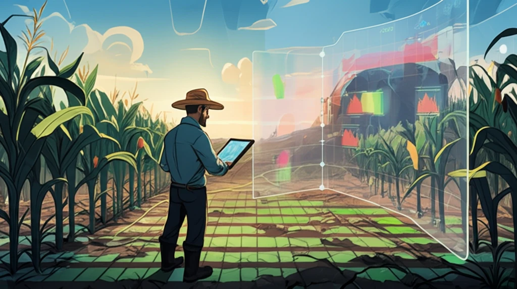
Deciphering the Soil-Yield Connection: Why It Matters
The key to understanding the spatial variability of crop yield lies in the comprehensive analysis of soil properties. Traditional farming methods often overlook the subtle variations in soil composition across a field, leading to inconsistent yields. By adopting a more granular approach, farmers can tailor their strategies to suit the specific needs of different areas within their land.
- Geostatistics: Applying statistical methods to understand the spatial distribution of soil properties and corn yield.
- Precision Agriculture: Tailoring farming practices to specific areas based on soil analysis.
- Soil Sampling Intensity: Collecting soil samples at regular intervals to capture variations in composition.
- Spatial Correlation: Identifying relationships between soil attributes and crop yield.
- Zea Mays: Scientific name for corn, the crop under study.
Embracing Data-Driven Farming: A Path to Sustainable Agriculture
The research detailed in this article underscores the potential of data-driven approaches in agriculture. By understanding the spatial relationships between soil properties and crop yield, farmers can make informed decisions that optimize resource use, minimize environmental impact, and maximize productivity. As technology advances, the integration of real-time soil sensors and precision agriculture tools will become increasingly vital for sustainable farming practices.