Tunisia's Salty Secret: How Mapping Halophytes Can Help Fight Salinization
"Using Sentinel-2 satellite imagery and a decision tree approach to map halophyte cover could be a game-changer for monitoring and managing soil salinity in Tunisia and beyond."
The environment around Ghannouch, in southeastern Tunisia, faces a significant challenge: widespread hypersaline soils. These soils, characterized by high salt concentrations, are often colonized by halophytes—salt-tolerant plants. Understanding the distribution of these plants is crucial to assessing the extent and dynamics of soil salinization.
Traditional methods of monitoring soil salinization are often time-consuming and resource-intensive. However, remote sensing offers a promising alternative. By analyzing optical data, scientists can identify halophyte vegetation and gain valuable insights into the spatial and temporal dimensions of this environmental issue.
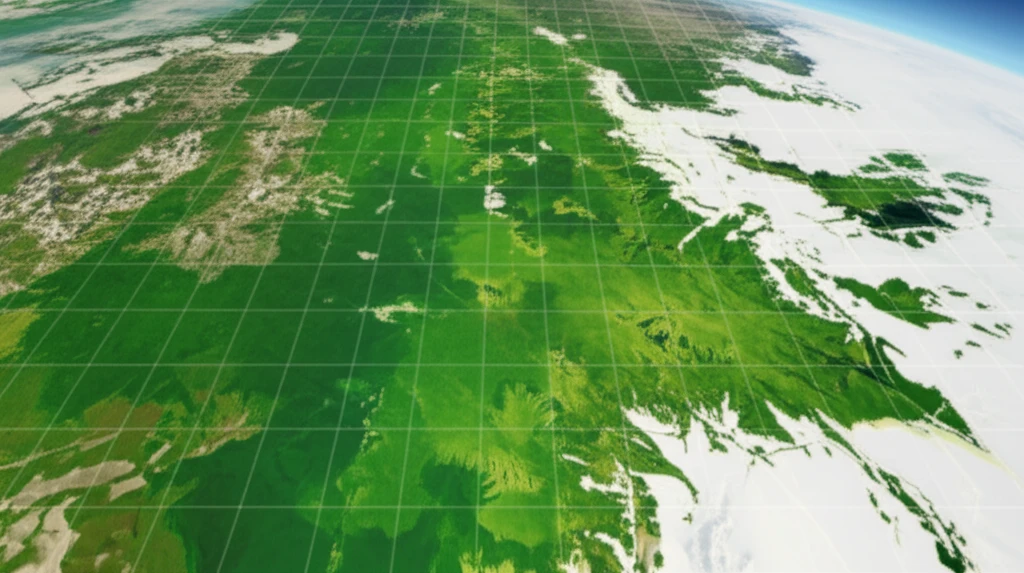
This article explores how a decision tree approach, applied to European Space Agency Sentinel-2 imagery, is being used to map land cover in the Ghannouch district with remarkable precision. This method combines spectral information from various channels, including visible and near-infrared, along with several optical indices, such as the Normalized Difference Water Index (NDWI), Normalized Difference Vegetation Index (NDVI), and soil salinity indices, to create a detailed land cover map.
Why is Mapping Halophytes Important?
High levels of soil salinity can arise from both natural processes and human activities. Primary causes are related to natural factors, while secondary salinization is often the result of human land management practices, especially inappropriate irrigation and water logging. Salinity affects approximately 107 hectares worldwide, posing a significant hazard to about 3% of global soil resources. In semi-arid regions like Tunisia, salt-affected soils account for around 3% of the area, with the problem being particularly acute in irrigated zones.
- Protecting shorelines by stabilizing dunes
- Supporting biodiversity
- Greening salt marshes
- Leaching and sequestering salt through enhanced percolation
- Storing salt in their tissues, which can cleanse soils for conventional crop cultivation
Looking Ahead: Applications and Implications
This study highlights the potential of using Sentinel-2 satellite imagery and decision tree algorithms to map halophyte cover accurately. The mapping exercise in Ghannouch classified 68% of the area of interest as halophyte land cover, marking a significant step toward improved halophyte mapping in Tunisia. This approach can be used to monitor the status of other salinity-prone regions worldwide, contributing to better environmental management and sustainable governance policies. By understanding the interactions between land use and climate change, we can preserve high-value natural areas and combat secondary salinization in rural districts.