
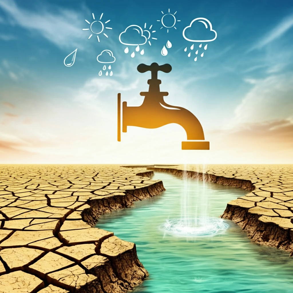
Is Your Area Really in a Drought? The Truth About Weather Patterns and Water Availability

"Understanding the link between meteorological and hydrological drought indices to better assess water resources in your community."
Droughts are a recurring challenge in the United States, significantly impacting communities and natural resources. While many people rely on general drought indicators, understanding the nuances of these measurements is crucial. It ensures that communities can accurately assess their water resources.
Most drought monitoring systems base their findings on meteorological data, primarily precipitation levels. However, droughts have far-reaching consequences that extend to other aspects of the water cycle, like streamflow. Relying solely on precipitation can paint an incomplete picture, as the relationship between rainfall and actual water availability is complex and varies from region to region.
A recent study examines the connection between various drought measurements and streamflow. The study highlights how climate, geographic characteristics, and human activities affect this relationship. By understanding these factors, communities can improve their drought monitoring and implement effective water management strategies.
Drought Data Infrastructure
The United States has developed extensive infrastructure for monitoring hydrologic drought conditions. The U.S. Geological Survey maintains benchmark datasets and simulation results for hydrologic drought events across the conterminous United States. Drought.gov operates an operational version of the Climate Engine API, producing hundreds of drought indices daily based on multiple foundational datasets. The National Weather Service's Climate Prediction Center converts temperature and precipitation outlooks into projected Palmer Hydrological Drought Index values for future months.
Drought Analysis Methods
Hydrological drought is commonly characterized by indices such as the Standardized Streamflow Index (SSI), which is widely used for its straightforward formulation and calculation. A multidisciplinary review identifies five primary drought analysis methods: index-based, remote sensing, threshold-level, impact-based, and the storyline approach. The threshold level method derives drought characteristics including duration and deficit volume. Single low flow indices, such as percentiles from the flow duration curve, are also commonly used. However, there remains limited understanding of what the SSI actually captures about hydrological drought conditions.
Historical Drought Monitoring
The Palmer Drought Severity Index (PDSI) has been used to map drought conditions in the contiguous U.S. from January 1900 onward. The Palmer Hydrological Drought Index (PHDI) is a long-standing metric that measures hydrologic impacts and responds more slowly to changing conditions than the PDSI. The National Centers for Environmental Information provides monthly maps of drought conditions as measured by multiple Palmer indices. Historical data and conditions help communities better understand and prepare for drought and extreme weather threats.
How Do Meteorological and Hydrological Drought Indices Differ?
Meteorological drought indices typically use precipitation as the primary indicator. The Standardized Precipitation Index (SPI) is a common example. These indices are useful for understanding rainfall deficits, but may not reflect the complete picture of water availability.
- Climate and Catchment Properties: Local climate patterns, soil types, and vegetation affect how precipitation translates into streamflow.
- Human Influences: Dams, reservoirs, and water diversions alter natural flow patterns, complicating the relationship between rainfall and streamflow.
Advances in Drought Characterization
Recent global research highlights the limitations and sectoral biases of single-index drought analyses, though they remain widely used. A novel Composite Drought Index (CDI) is designed to capture agricultural, hydrological, meteorological, and socioeconomic components on a seasonal time scale. Researchers have produced a new geodetic drought index (GDI) using GPS data to characterize hydrologic drought conditions in surface and sub-surface hydrologic reservoirs. An innovative hybrid data-driven model integrates geomorphological, hydrological, and human activities factors to predict hydrological drought indices.
Challenges in Drought Definition
Numerous indices exist for the definition and description of hydrological drought, which refers primarily to streamflow drought. These indices have been developed for various purposes including planning of water resources and flow allocations, analysis of temporal trends, and assessment of climate change influence. The proliferation of different drought definitions and indices creates challenges for consistent monitoring and comparison across regions. Different indices may yield conflicting assessments of drought conditions in the same area.
Drought Index Comparison
Different drought indices measure different aspects of drought conditions and may not always agree on the severity or spatial extent of drought events. The choice of drought index can significantly affect the assessment of drought conditions in a given area. No single index captures all dimensions of drought, which is why researchers increasingly recommend using multiple indices for comprehensive drought assessment.
What Does This Mean for Drought Monitoring?
Communities need to consider more than just precipitation when assessing drought conditions. Streamflow data, while valuable, must be interpreted carefully. In areas with significant human modifications to water systems, streamflow may not accurately reflect the natural water supply. Using a combination of different indicators and understanding local factors helps to improve drought preparedness and water resource management.
Drought Recovery Analysis
The National Centers for Environmental Information provides estimations of drought recovery in the Contiguous U.S. based on Palmer drought analysis. These projections use varying scenarios to estimate how drought conditions may improve over time. Drought termination and amelioration are complex processes that depend on multiple factors including precipitation patterns and initial soil moisture conditions.
Future Drought Projections
Future projections from global climate models indicate increasing trends in drought frequency and intensity for many areas of the world by the end of the century. The United States Drought Monitor serves as initial conditions for the Climate Prediction Center's drought outlooks. Researchers critically discuss future drought projections, focusing on key issues related to the concept of drought and its frequent confusion with aridity. Downscaled CMIP6 models provide global future drought layers showing projected changes in drought conditions.
Integrated Drought Management
Existing gaps exist in the sustainable management of drought, particularly regarding Hydrological Ecosystem Services (HES). Integrating physical and socioeconomic indicators is proposed for assessing drought impacts. In regions where ground data are scarce, hydrological modeling offers an alternative approach for drought monitoring and developing early warning systems. The SWAT model combined with drought indices provides a systematic framework for watershed-scale drought assessment.
Human Dimensions of Drought
Drought impacts extend beyond environmental and hydrological systems to affect human communities and socioeconomic systems. The way people perceive and respond to drought conditions is influenced by both scientific data and local knowledge. Understanding drought requires integrating technical monitoring with the lived experiences of communities affected by water scarcity.