Decoding the Rainy Season: How Satellites Help Us Understand Water
"Unveiling the Secrets of Water Management with Space-Age Technology"
Water is essential for everything from growing food to powering industries. The constant movement of water on our planet is a key part of our daily lives and the natural world. Understanding and managing this water cycle is extremely important, especially in regions that rely on rivers for their water supply.
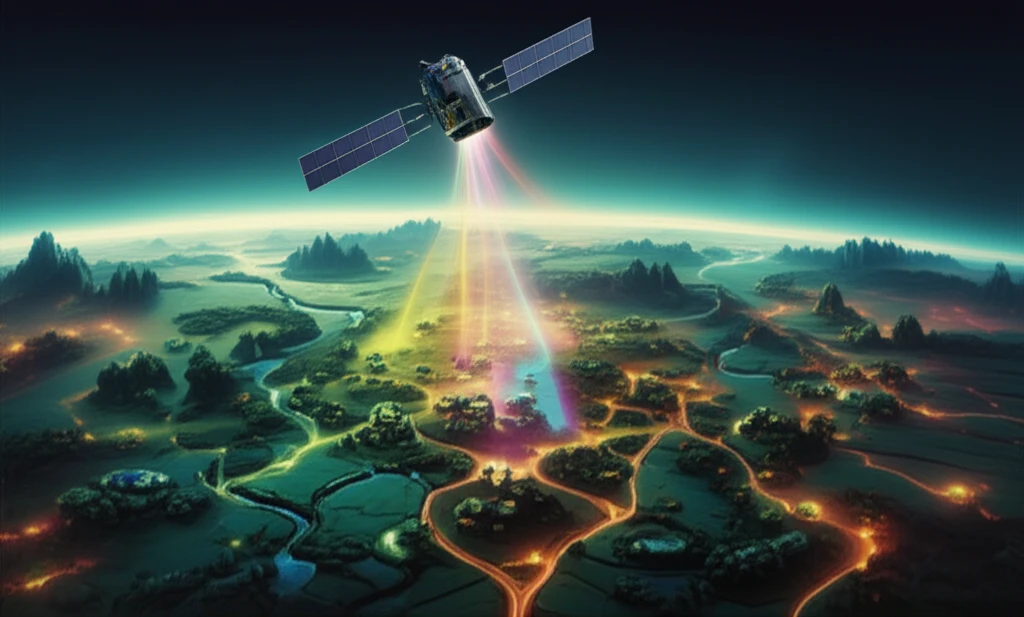
But what happens when there's no easy way to measure how much water is available? This is where satellite technology steps in. Satellites equipped with special sensors can monitor things like rainfall, soil moisture, and evaporation over large areas. This information is incredibly helpful for managing water resources, particularly in areas where traditional weather stations are scarce.
One such area is the Paracatu River basin in Brazil, a vital but challenging region to monitor. This article explores how scientists are using data from NASA's MODIS satellites to understand the water balance in this region, helping to ensure a more sustainable water future. We'll break down the science in a way that’s easy to grasp, highlighting why this research matters to everyone.
Why Monitor River Basins from Space?
Traditionally, scientists rely on weather stations and on-the-ground measurements to understand the water cycle in a specific area. However, these methods have limitations. Weather stations can be expensive to install and maintain, and they only provide information for a small area. This is a problem in large, remote river basins like the Paracatu, where access can be difficult.
- Rainfall patterns: How much rain is falling and where.
- Evaporation rates: How quickly water is evaporating from the land surface.
- Soil moisture: How much water is stored in the soil, which is crucial for agriculture.
- Net radiation: The balance between incoming and outgoing solar energy, which drives many of these processes.
Looking Ahead: A Future of Smarter Water Management
The research on the Paracatu River basin demonstrates the power of satellite technology to improve water resource management. As climate change continues to impact rainfall patterns and water availability, these tools will become even more important. By using satellite data, we can make better decisions to ensure a sustainable water future for all. This will not only help in agriculture but also make sure we all have access to clean water and support healthy ecosystems, highlighting the importance of constant efforts to improve data accuracy and availability so that everyone can benefit.