Illustration of the Amazon rainforest with satellite data overlay, showing its role in climate regulation.

Decoding the Amazon: How Scientists Use Satellite Data to Understand Our Planet's 'Lungs'

"Cutting-edge research harnesses the power of satellite technology to unlock the secrets of the Amazon rainforest, revealing insights into climate change, biodiversity, and the delicate balance of our planet's ecosystems."


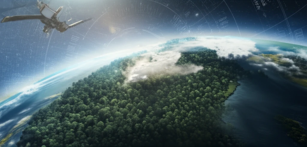
The Amazon rainforest, often called the "lungs of the planet," plays a critical role in regulating Earth's climate and harboring an unparalleled diversity of life. Yet, this invaluable ecosystem faces increasing threats from deforestation, climate change, and other human activities. Understanding the intricate workings of the Amazon is more crucial than ever, and scientists are turning to innovative technologies to gain a comprehensive view of this vast and complex region.

Among the most promising tools in this endeavor is the use of satellite data. Satellites equipped with advanced sensors provide a unique perspective, allowing researchers to monitor the Amazon's health, track changes in vegetation, and assess its impact on the global climate. This approach offers a valuable complement to traditional ground-based studies, providing a broader, more detailed, and consistent understanding of the rainforest.

This article explores a fascinating study that uses data from the Moderate Resolution Imaging Spectroradiometer (MODIS) sensor, aboard the Terra satellite, to analyze the Amazon's radiation balance. By combining satellite data with ground measurements, scientists are gaining unprecedented insights into how the rainforest functions and the challenges it faces. This research exemplifies the power of technology in unraveling the mysteries of our planet's most precious ecosystems.

Unveiling the Amazon's Secrets: How Satellite Data Helps Scientists Study the Rainforest

Illustration of the Amazon rainforest with satellite data overlay, showing its role in climate regulation.

The research focuses on understanding the components of the radiation balance in two specific areas of the Brazilian Amazon: pasture lands and forests. The study uses the Surface Energy Balance Algorithms for Land (SEBAL) model, which is a sophisticated tool that helps estimate how much energy is absorbed and released by the land surface. By comparing the results with measurements taken directly on the ground, scientists can validate the accuracy of the satellite data and gain a more complete understanding of the processes at work.

The process involves several steps, including analyzing vegetation indices, albedo (the amount of sunlight reflected by the surface), and atmospheric transmittance. These factors are crucial in determining how much energy from the sun reaches the Earth's surface and how it is used. By carefully analyzing these components, researchers can understand how the Amazon rainforest interacts with its environment and how changes in the rainforest affect the broader climate system.

  • Vegetation Indices: These are mathematical calculations that provide information about the health and density of the vegetation.
  • Albedo: This measures the reflectivity of the surface. Darker surfaces absorb more sunlight, while lighter surfaces reflect more.
  • Atmospheric Transmittance: This refers to the amount of sunlight that passes through the atmosphere.
The study's findings revealed the value of integrating data from different scales to estimate and map radiation fluxes in the Amazon region. This approach helps improve our understanding of how the rainforest interacts with the atmosphere and provides important input for climate models. Furthermore, the study's validation of satellite data using ground measurements helps ensure that these technologies are reliable and can be used with confidence to monitor and protect the Amazon rainforest.

Protecting the Amazon: The Future of Rainforest Research and Conservation

The research highlights the importance of continuous monitoring and innovative technologies in the fight to preserve the Amazon. By combining the power of satellite data with on-the-ground observations, scientists can generate a better understanding of the rainforest's condition and provide useful insights for conservation efforts. As climate change and deforestation continue to threaten this vital ecosystem, these scientific endeavors become increasingly critical for protecting the "lungs of the planet" for generations to come.

About this Article -

This article was crafted using a human-AI hybrid and collaborative approach. AI assisted our team with initial drafting, research insights, identifying key questions, and image generation. Our human editors guided topic selection, defined the angle, structured the content, ensured factual accuracy and relevance, refined the tone, and conducted thorough editing to deliver helpful, high-quality information.See our About page for more information.

This article is based on research published under:

DOI-LINK: 10.1590/s0044-59672013000300011, Alternate LINK

Title: Validação Do Balanço De Radiação Obtido A Partir De Dados Modis/Terra Na Amazônia Com Medidas De Superfície Do Lba

Subject: General Agricultural and Biological Sciences

Journal: Acta Amazonica

Publisher: FapUNIFESP (SciELO)

Authors: Gabriel De Oliveira, Elisabete Caria Moraes

Published: 2013-09-01

Everything You Need To Know

1

Why is understanding the Amazon rainforest so crucial?

Understanding the Amazon rainforest is crucial because it plays a vital role in regulating Earth's climate and harbors significant biodiversity. It faces increasing threats from deforestation, climate change, and human activities, making its study and protection extremely important. The forest's role in the global climate system is linked to the radiation balance of the region.

2

What makes satellite data so valuable in studying the Amazon?

Satellite data offers a unique and valuable perspective for studying the Amazon. Satellites equipped with advanced sensors can monitor the rainforest's health, track changes in vegetation using vegetation indices, and assess its impact on the global climate. This provides a broader, more detailed, and consistent understanding of the rainforest than traditional ground-based studies alone, especially regarding the albedo and atmospheric transmittance of the region.

3

How does the Surface Energy Balance Algorithms for Land (SEBAL) model enhance research in the Amazon?

The Surface Energy Balance Algorithms for Land (SEBAL) model is a sophisticated tool that helps estimate how much energy is absorbed and released by the land surface. By integrating this model with satellite data, scientists can validate the accuracy of the data with ground measurements. This leads to a more complete understanding of the processes affecting the radiation balance at work within the Amazon, allowing scientists to quantify the energy exchanges between the land and the atmosphere.

4

How can understanding the radiation balance in the Amazon inform climate models and conservation efforts?

Understanding the radiation balance in the Amazon region, through analysis of factors like vegetation indices, albedo, and atmospheric transmittance, provides crucial input for climate models. By understanding how the rainforest interacts with the atmosphere, climate models can be improved, leading to more accurate climate projections. This knowledge also informs conservation efforts by providing valuable insights into the rainforest's condition, thus aiding in the fight to preserve the Amazon.

5

What are the implications of combining satellite data, like that from the Moderate Resolution Imaging Spectroradiometer (MODIS) sensor, with ground-based observations for the future of Amazon research and conservation?

Combining satellite data, such as from the Moderate Resolution Imaging Spectroradiometer (MODIS) sensor on the Terra satellite, with ground-based observations has profound implications for the future of Amazon research and conservation. This integrated approach allows for continuous monitoring and a more comprehensive understanding of the rainforest's condition. By validating satellite data with ground measurements, the reliability of these technologies is confirmed, ensuring that they can be used with confidence to monitor and protect the Amazon rainforest. Furthermore, this comprehensive data can inform more effective conservation strategies and policies.

Newsletter Subscribe

Subscribe to get the latest articles and insights directly in your inbox.