Satellite view of the Amazon rainforest overlaid with data grid showing radiation fluxes and micrometeorological towers.

Decoding the Amazon: How Satellites and Surface Data Reveal the Rainforest's Secrets

"Scientists use MODIS/TERRA data and LBA measurements to validate radiation balance in the Amazon, providing crucial insights for climate models and conservation efforts."


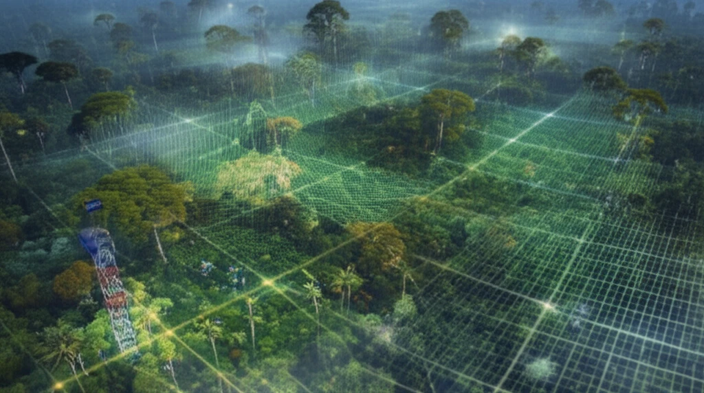
The Brazilian Amazon is undergoing large-scale exploitation of its natural resources, with significant changes in surface cover, particularly the conversion of forest areas to pasture. These transformations exert a substantial influence on the region's hydrology and climate. Understanding these impacts requires detailed monitoring and analysis of the energy and radiation fluxes in the region.

Since the 1980s, numerous meteorological experiments have been conducted in the Amazon, such as the Amazonian Research Micrometeorological Experiment (ARME) and the Large-Scale Biosphere-Atmosphere Experiment in Amazonia (LBA). These experiments have helped determine the temporal variability of energy available for direct atmospheric heating and evapotranspiration. However, direct field measurements are often limited to specific points, making it necessary to estimate and spatially represent radiation fluxes on a broader scale to better inform climate models.

In this context, remote sensing data offers a viable alternative, enabling the estimation of radiative balance components with extensive spatial and temporal coverage. The Moderate Resolution Imaging Spectroradiometer (MODIS), aboard the TERRA and AQUA platforms, is well-suited for this purpose due to its global coverage, high radiometric resolution, and dynamic ranges across visible, near-infrared, mid-infrared, and thermal infrared bands.

Validating Net Radiation in the Amazon: A Deep Dive into Methodology

Satellite view of the Amazon rainforest overlaid with data grid showing radiation fluxes and micrometeorological towers.

This study focuses on estimating the components of net radiation in two regions within the state of Rondônia, located in the southwestern Brazilian Amazon. Researchers utilized data from the Moderate Resolution Imaging Spectroradiometer (MODIS/TERRA) through the Surface Energy Balance Algorithms for Land (SEBAL) model. The validation process involved comparing the model's results with data acquired from micrometeorological towers under pasture and forest conditions, specifically at Fazenda Nossa Senhora Aparecida (FNSA) and the Reserva Biológica do Jaru (RBJ).

The implementation of the SEBAL model was performed directly on MODIS data and included several key steps:

  • Computation of vegetation indices to assess vegetation health and density.
  • Calculation of albedo, which represents the surface's reflectivity.
  • Estimation of atmospheric transmittance, crucial for understanding how much solar radiation reaches the surface.
The comparison between estimates generated from MODIS data and actual observations revealed relative errors ranging from 0.2% to 19.2% for pasture conditions and 0.8% to 15.6% for forest conditions. This integration of data across different scales proves valuable for estimating and spatializing radiation fluxes in the Amazon region.

Why This Research Matters: Implications for Climate Science and Conservation

This research highlights the importance of integrating data from different sources to understand the complex interactions between the Amazon rainforest and the atmosphere. By accurately estimating radiation fluxes, scientists can improve climate models and generate essential input information for surface models linked to atmospheric general circulation models. Ultimately, this contributes to a better understanding of the Amazon rainforest's role in regional and global climate patterns, supporting more effective conservation and sustainability strategies.

About this Article -

This article was crafted using a human-AI hybrid and collaborative approach. AI assisted our team with initial drafting, research insights, identifying key questions, and image generation. Our human editors guided topic selection, defined the angle, structured the content, ensured factual accuracy and relevance, refined the tone, and conducted thorough editing to deliver helpful, high-quality information.See our About page for more information.

Everything You Need To Know

1

What is MODIS/TERRA data used for in the Amazon rainforest research?

MODIS/TERRA data is used in the Amazon to estimate and spatialize radiation fluxes, which are essential for climate models. Researchers use this data, along with surface measurements, to validate the radiation balance. This helps improve understanding of the complex interactions between the rainforest and the atmosphere, supporting conservation and sustainability strategies. MODIS/TERRA provides crucial information on energy and radiation fluxes, which are impacted by deforestation and land-use changes, helping scientists to create more accurate climate models.

2

How does the research validate the radiation balance in the Amazon, and why is this important?

The research validates the radiation balance by comparing estimates from the SEBAL model, using MODIS/TERRA data, with data from micrometeorological towers at sites like FNSA and RBJ. This comparison helps scientists understand the accuracy of the model in different land cover types (pasture and forest). Accurate estimation of radiation fluxes is important because it helps to improve climate models and provides essential input information for surface models, ultimately enhancing our understanding of the Amazon's role in regional and global climate patterns. By understanding the energy balance, scientists can assess the impact of deforestation on the region's climate and hydrology, which is critical for conservation.

3

What are the key steps involved in using MODIS data with the SEBAL model?

Implementing the SEBAL model with MODIS data involves several key steps. The process begins with computing vegetation indices to assess the health and density of vegetation. Then, the model calculates albedo, which is the surface's reflectivity. Finally, the model estimates atmospheric transmittance, determining how much solar radiation reaches the surface. These steps are crucial for understanding the energy balance within the Amazon rainforest, particularly as it relates to climate and land cover changes.

4

How do researchers gather data beyond satellite imagery to understand the Amazon's climate?

Researchers combine remote sensing data from MODIS/TERRA with surface measurements from experiments like ARME and LBA. These experiments provide direct field measurements of energy and radiation fluxes. Micrometeorological towers are used to gather data at specific locations (FNSA and RBJ), which are then compared with the results from the SEBAL model using MODIS data. This integration of data across scales enables a more complete understanding of the Amazon's climate.

5

What are the implications of this research for climate science and conservation efforts in the Amazon?

This research is crucial for climate science and conservation because it improves climate models and supports more effective strategies. By accurately estimating radiation fluxes using MODIS/TERRA data and validating them with surface measurements, scientists gain a better understanding of the Amazon's role in regional and global climate patterns. This knowledge helps in assessing the impact of deforestation and land-use changes on the region's climate, thereby informing conservation efforts and supporting sustainable practices within the Amazon rainforest.

Newsletter Subscribe

Subscribe to get the latest articles and insights directly in your inbox.