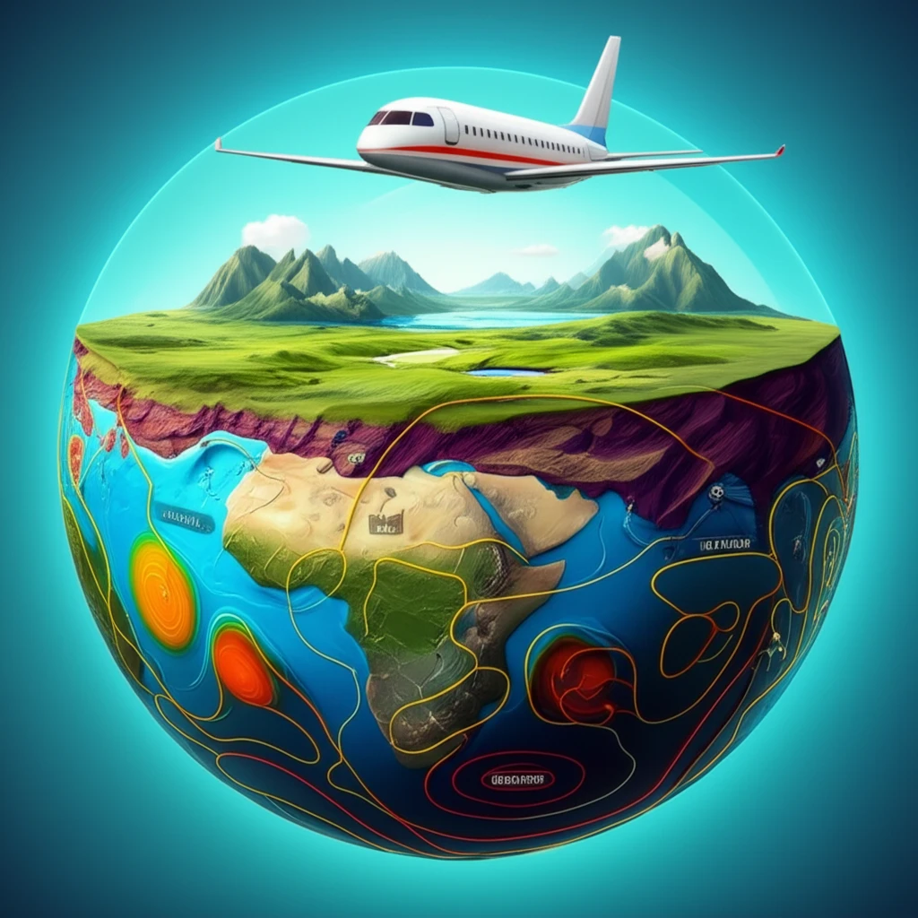
Cross-section of Earth revealing geological formations with an airplane conducting a geophysical survey.

Decoding Earth's Hidden Stories: How Geophysics Helps Us Understand Our Planet

"Unlock the secrets beneath our feet! Explore how geophysics—integrating geology, aerogammaspectrometry, and aeromagnetometry—reveals Earth's past and future."


Imagine peeling back the layers of the Earth like an onion, revealing its hidden structure and history. That's precisely what integrated geophysics aims to do. By combining various techniques, we gain a far richer understanding of what lies beneath the surface than any single method could provide alone. This approach is revolutionizing how we study our planet, from mapping resources to predicting potential hazards.

At the heart of this integrated approach is the fusion of geology (the study of Earth's physical structure and substance), aerogammaspectrometry (measuring gamma rays emitted by rocks), and aeromagnetometry (measuring magnetic fields). Each of these methods offers a unique perspective. When combined, they provide a comprehensive view of subsurface geological features.

The Sul-Riograndense Shield in southernmost Brazil serves as an excellent example of how these methods work in harmony. The shield’s complex geology has been extensively studied, and a recent airborne geophysical survey provides a detailed dataset. By integrating this survey data with existing geological knowledge, researchers are uncovering new insights into the shield’s formation and structure.

Why Combine Geology, Aerogammaspectrometry, and Aeromagnetometry?

Cross-section of Earth revealing geological formations with an airplane conducting a geophysical survey.

Each geophysical method provides distinct but complementary information. Geology gives us the surface-level understanding of rock types and formations. Aerogammaspectrometry identifies the distribution of radioactive elements near the surface, reflecting the types of rocks present and their weathering patterns. Aeromagnetometry, on the other hand, detects variations in the Earth's magnetic field caused by different rock compositions and structures at various depths.

By integrating these three techniques, scientists can create a more complete picture of the subsurface:

  • Surface Insights: Geology reveals the types of rocks present on the surface.
  • Near-Surface Composition: Aerogammaspectrometry maps the distribution of radioactive elements.
  • Deeper Structures: Aeromagnetometry uncovers magnetic variations indicating subsurface geological features.
For example, gamma rays are registered from rocks near the surface, describing major geological units such as the Pelotas batholith, the juvenile São Gabriel terrane, and the granulite-amphibolite facies Taquarembó terrane. Major structures like the Dorsal de Canguçu shear are also observed. Magnetic signals register near-surface crustal compositions, indicating shallow or deep crustal structures. The Caçapava shear, for instance, is prominent in magnetic images, highlighting a magnetic low along the north-south central portion of the shield.

What Does Integrated Geophysics Reveal About the Sul-Riograndense Shield?

Integrated observations lead to a deeper understanding of both the largest and most detailed structures within the Sul-Riograndense Shield. Some of these can be correlated to field geology in future studies. Depending on the data acquisition method—geology, aerogammaspectrometry, or aeromagnetometry—the presence and limits of different provinces become more significant. This integrated approach helps refine geological models and locate potential ore deposits by identifying heterogeneities within seemingly homogeneous regions.

About this Article -

This article was crafted using a human-AI hybrid and collaborative approach. AI assisted our team with initial drafting, research insights, identifying key questions, and image generation. Our human editors guided topic selection, defined the angle, structured the content, ensured factual accuracy and relevance, refined the tone, and conducted thorough editing to deliver helpful, high-quality information.See our About page for more information.

Everything You Need To Know

1

What is integrated geophysics, and what methods does it typically involve?

Integrated geophysics is an approach that combines different geophysical methods to gain a comprehensive understanding of subsurface geological features. It typically involves the fusion of geology, which studies the Earth's physical structure and substance, aerogammaspectrometry, which measures gamma rays emitted by rocks to determine their radioactive element distribution, and aeromagnetometry, which detects variations in the Earth's magnetic field caused by different rock compositions and structures. By integrating these techniques, scientists can create a more complete picture of the subsurface than any single method could provide alone. While other geophysical methods exist, such as seismic surveys or gravity measurements, the integrated approach described focuses on these three key techniques for a holistic view.

2

Why is it so useful to combine geology, aerogammaspectrometry, and aeromagnetometry?

Combining geology, aerogammaspectrometry, and aeromagnetometry is crucial because each method offers distinct but complementary information. Geology provides surface-level understanding of rock types and formations. Aerogammaspectrometry identifies the distribution of radioactive elements near the surface, reflecting the types of rocks present and their weathering patterns. Aeromagnetometry detects variations in the Earth's magnetic field caused by different rock compositions and structures at various depths. Integrating these techniques allows scientists to create a more complete picture of the subsurface, revealing both surface and deeper geological features.

3

What does aerogammaspectrometry measure, and why is this information important?

Aerogammaspectrometry measures the distribution of radioactive elements near the surface. This is important because it helps identify the types of rocks present and their weathering patterns. Different rock types contain varying amounts of radioactive elements, so mapping their distribution can reveal the underlying geology. For example, areas with high concentrations of uranium or thorium may indicate the presence of specific types of igneous rocks or ore deposits. This technique complements geology by providing insights into near-surface composition and can guide further exploration or geological mapping efforts.

4

What does aeromagnetometry uncover, and how can it help us understand subsurface structures?

Aeromagnetometry uncovers magnetic variations indicating subsurface geological features. These magnetic variations are caused by differences in the magnetic properties of rocks, which can be influenced by their composition, structure, and depth. By measuring these variations, aeromagnetometry can help identify geological structures such as faults, folds, and intrusions that are not visible on the surface. This is important for understanding the overall geological framework of an area and for locating potential ore deposits or other resources. The data obtained provides insights into both shallow and deep crustal structures.

5

How does integrated geophysics help in the study of a specific region like the Sul-Riograndense Shield?

In the context of the Sul-Riograndense Shield, integrated geophysics helps refine geological models and locate potential ore deposits by identifying heterogeneities within seemingly homogeneous regions. By integrating data from geology, aerogammaspectrometry, and aeromagnetometry, scientists can gain a deeper understanding of the shield's complex geology and identify areas with specific characteristics that may be indicative of mineral resources. This approach is valuable for guiding further exploration and resource assessment efforts, ultimately contributing to a more sustainable and efficient utilization of Earth's resources.

Newsletter Subscribe

Subscribe to get the latest articles and insights directly in your inbox.