Surreal illustration of a farmer in a field, divided between accurate and distorted weather data impacts on crops.

Data Privacy vs. Accuracy: How Protecting Your Info Impacts Climate Research

"New study reveals the surprising ways data anonymization affects the reliability of climate research in agriculture."


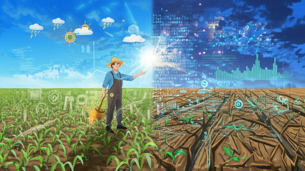
In an era defined by increasing data collection, the balance between individual privacy and the accuracy of large-scale research has never been more critical. When it comes to socioeconomic surveys, programs often use statistical methods to protect the privacy of participants. These methods, however, can distort data, especially when integrated with other crucial data sources like remote sensing weather data. This distortion introduces the question: How much does protecting our privacy cost in terms of accurate research and informed decision-making?

A groundbreaking study dives deep into this issue, focusing on the Living Standards Measurement Study - Integrated Surveys on Agriculture (LSMS-ISA), supported by the World Bank. This large-scale survey integrates household data with remote sensing weather information to analyze agricultural trends and inform policy. The research explores how spatial anonymization—a common technique used to protect the location of survey participants—affects the accuracy of econometric estimates when combined with weather data.

By examining different anonymization methods and various remote sensing weather products, the study highlights the trade-offs between data privacy and research accuracy. It seeks to guide researchers and policymakers in making informed choices that ensure both the protection of personal information and the reliability of critical findings. Understanding these nuances is essential for crafting effective strategies that address climate change and promote sustainable agricultural practices.

Decoding Data Distortion: How Anonymization Impacts Climate-Agriculture Links

Surreal illustration of a farmer in a field, divided between accurate and distorted weather data impacts on crops.

The study navigates a complex landscape of data anonymization techniques. Spatial anonymization, which involves altering geographic coordinates to obscure exact locations, is a key focus. While this method protects privacy, it inevitably introduces a degree of inaccuracy, especially when linking survey data with precise geospatial datasets like weather information. The researchers set out to quantify the extent of this inaccuracy, examining how different anonymization approaches affect the statistical validity of climate-agricultural models.

To conduct their analysis, the research team constructed 90 linked weather-household datasets. These datasets varied based on the spatial anonymization method applied and the specific remote sensing weather product used. This meticulous approach allowed for a comprehensive assessment of how different privacy measures influence the accuracy of econometric estimates.

  • Varying Anonymization Techniques: The study tested several spatial anonymization methods, reflecting common practices used to protect survey participant locations.
  • Diverse Weather Datasets: Nine remotely sensed geospatial weather datasets were integrated, each offering different spatial resolutions and modeling approaches.
  • Econometric Modeling: The researchers employed regression models to assess the impact of weather on agricultural productivity, comparing results across different anonymization and weather data combinations.
By systematically varying the data and the econometric models, the study aimed to pinpoint the magnitude and significance of measurement error resulting from privacy protection measures. This rigorous approach provides essential insights into the real-world implications of data anonymization on research outcomes.

Choosing Wisely: Best Practices for Integrating Weather and Survey Data

While spatial anonymization techniques generally have limited impact on estimates of agricultural productivity, the study emphasizes the importance of carefully selecting remote sensing weather products. The degree to which spatial anonymization introduces mismeasurement depends on the weather product used in the analysis. Remote sensing products that merge gauge and satellite data (such as ARC2, CHIRPS, and TAMSAT) are more sensitive to spatial anonymization techniques than products relying on assimilation models or primarily on gauge data. Estimates of weather's impact on agricultural productivity also depend on the remote sensing data source, regardless of anonymization. The study suggests care in choosing a remote sensing data product to integrate with socioeconomic survey data, as results can vary. These findings provide actionable guidance for researchers seeking to combine diverse datasets while preserving data integrity and protecting individual privacy.

About this Article -

This article was crafted using a human-AI hybrid and collaborative approach. AI assisted our team with initial drafting, research insights, identifying key questions, and image generation. Our human editors guided topic selection, defined the angle, structured the content, ensured factual accuracy and relevance, refined the tone, and conducted thorough editing to deliver helpful, high-quality information.See our About page for more information.

This article is based on research published under:

DOI-LINK: 10.1016/j.jdeveco.2022.102927,

Title: Privacy Protection, Measurement Error, And The Integration Of Remote Sensing And Socioeconomic Survey Data

Subject: econ.gn q-fin.ec

Authors: Jeffrey D. Michler, Anna Josephson, Talip Kilic, Siobhan Murray

Published: 10-02-2022

Everything You Need To Know

1

What is spatial anonymization, and how does it affect the accuracy of climate research in agriculture?

Spatial anonymization is a technique used to protect the privacy of survey participants by altering their geographic coordinates, making it difficult to pinpoint their exact location. In climate research, particularly when combined with agricultural data and remote sensing weather data, spatial anonymization can introduce inaccuracies. The study reveals that this process can distort econometric estimates, impacting the reliability of models used to assess the impact of weather on agricultural productivity. The degree of distortion varies depending on the anonymization method and the specific remote sensing weather product used, highlighting a trade-off between data privacy and research accuracy.

2

How does the choice of remote sensing weather data impact the accuracy of research when using anonymized survey data?

The selection of remote sensing weather products significantly influences the accuracy of research when integrating it with anonymized survey data. The study indicates that weather products merging gauge and satellite data, like ARC2, CHIRPS, and TAMSAT, are more sensitive to spatial anonymization than products that rely on assimilation models or primarily on gauge data. This means that the choice of weather data source can affect the accuracy of the econometric estimates, regardless of the anonymization method used. Researchers need to carefully consider the characteristics of different remote sensing data to ensure the reliability of their findings, especially when assessing weather's impact on agricultural productivity.

3

What are the primary methods used to protect the privacy of survey participants, and how do they influence the results of studies like the LSMS-ISA?

Common methods to protect the privacy of survey participants include statistical methods such as spatial anonymization. Spatial anonymization alters the geographic coordinates of participants, making it harder to link their data to specific locations. In studies like the Living Standards Measurement Study - Integrated Surveys on Agriculture (LSMS-ISA), this can distort data when integrated with other crucial data sources like remote sensing weather data. This distortion directly impacts the accuracy of econometric estimates used to analyze agricultural trends, potentially leading to less reliable conclusions about climate change impacts and agricultural practices.

4

Can you explain the methodology used in the study to assess the impact of data anonymization on research outcomes?

The study employed a rigorous methodology involving the construction of 90 linked weather-household datasets. These datasets were created by varying the spatial anonymization methods applied and integrating different remote sensing weather products. Researchers tested several spatial anonymization techniques, mirroring common practices. They also integrated nine remotely sensed geospatial weather datasets, each with varying spatial resolutions and modeling approaches. Econometric modeling, specifically regression models, was then used to evaluate the impact of weather on agricultural productivity. The researchers systematically varied the data and econometric models, which allowed them to pinpoint the magnitude and significance of measurement error resulting from privacy protection measures, offering insights into the real-world implications of data anonymization.

5

What are the implications of these findings for policymakers and researchers working on climate change and sustainable agriculture?

The findings highlight the importance of careful data handling in climate and agricultural research. For policymakers, it underscores the need to balance data privacy with research accuracy when making informed decisions about climate change and sustainable agricultural practices. Researchers are advised to carefully select remote sensing weather products to ensure the reliability of their analyses, particularly when combining them with socioeconomic survey data. The study provides actionable guidance for researchers and policymakers to make informed choices that protect individual privacy while maintaining the integrity of critical findings, ensuring more effective strategies for addressing climate change and promoting sustainable agricultural practices.

Newsletter Subscribe

Subscribe to get the latest articles and insights directly in your inbox.