Can Satellites Predict Your Next Grocery Bill? How Space Tech is Changing Food Prices
"Uncover how NOAA/AVHRR satellite data is revolutionizing crop monitoring and impacting food security worldwide."
In an era of increasing global population and climate uncertainty, understanding and predicting crop yields has never been more critical. Governments and organizations worldwide need accurate, up-to-date information to make informed decisions about food security, agricultural policies, and resource allocation. This is where the innovative use of satellite technology comes into play.
Traditional methods of crop monitoring, such as on-the-ground surveys and weather data analysis, can be time-consuming and geographically limited. However, advancements in remote sensing technology, particularly the use of satellite imagery, offer a powerful tool for assessing crop health and predicting yields over large areas with greater efficiency and accuracy.
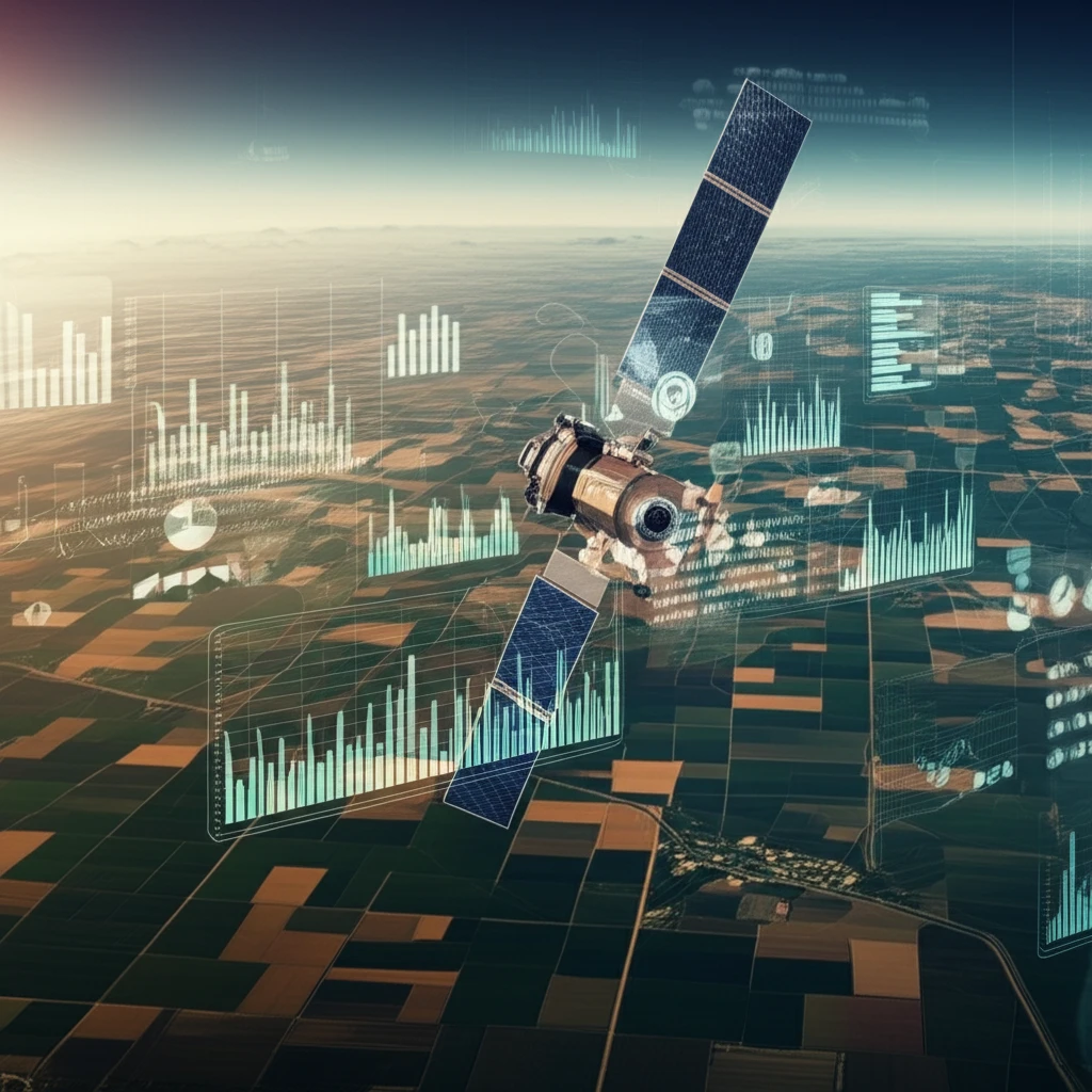
One such technology, the NOAA/AVHRR (National Oceanic and Atmospheric Administration/Advanced Very High Resolution Radiometer) satellite data, is proving to be a game-changer in agricultural monitoring. By combining the Normalized Difference Vegetation Index (NDVI) and Land Surface Temperature (LST) data derived from these satellites, researchers and policymakers are gaining valuable insights into crop development, stress levels, and potential yields.
How Does Satellite Data Predict Crop Health?
The integration of NOAA/AVHRR satellite images allows for the monitoring of soybean crops by assessing vegetation conditions through the combination of two key indicators: the Normalized Difference Vegetation Index (NDVI) and Land Surface Temperature (LST). NDVI measures the greenness of vegetation, reflecting photosynthetic activity and overall plant health. LST, on the other hand, provides information about the temperature of the land surface, which can indicate water stress or other environmental factors affecting crop development. Together, these indicators offer a comprehensive view of crop conditions.
- NDVI (Normalized Difference Vegetation Index): This index measures the difference between near-infrared (which vegetation strongly reflects) and visible light (which vegetation absorbs). Higher NDVI values indicate healthier and denser vegetation.
- LST (Land Surface Temperature): This measures the actual temperature of the ground. Stressed vegetation often has a higher temperature.
- Data Combination: Researchers combine NDVI and LST data to detect areas where vegetation might be stressed due to drought or other factors. A healthy crop typically shows high NDVI and lower LST.
The Future of Food Security: A High-Tech Approach
The use of satellite data in agriculture is more than just an interesting application of technology; it's a critical tool for ensuring food security in a changing world. By providing timely and accurate information about crop conditions, these technologies enable more informed decision-making, more efficient resource allocation, and ultimately, a more resilient food system. As climate change continues to impact agricultural regions around the globe, expect satellite-driven insights to become even more vital in ensuring a stable and affordable food supply for everyone.