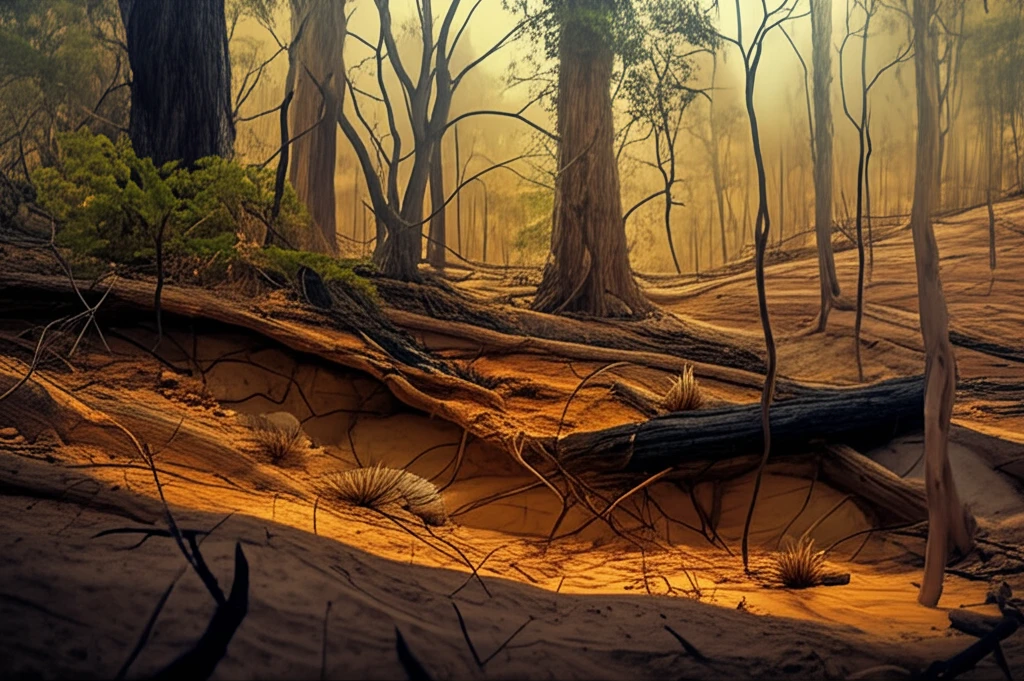
Decoding Disaster: How Remote Sensing with PCA Can Help Map Burned Areas
Learn how remote sensing technologies using PCA techniques such as EVD and SVD are revolutionizing burn area mapping, offering crucial insights for environmental management and recovery planning.