Surreal illustration of Zagreb with GPS satellites and radar waves.

Zagreb's Shifting Story: How Satellites Uncover Secrets Beneath the City

"Unveiling the science behind monitoring Zagreb's tectonic movements with cutting-edge satellite technology."


Imagine a city resting on a landscape that's subtly, constantly moving. That's Zagreb, Croatia, where the ground beneath its buildings shifts due to tectonic activity. For nearly two decades, scientists have been closely monitoring these movements to understand and mitigate potential risks.

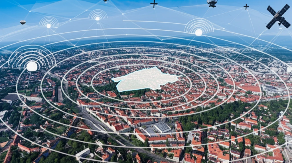
Traditional methods of tracking these shifts are time-consuming and can only give information about limited points. Now, a new approach is revolutionizing how we monitor this dynamic city: satellite technology. By combining traditional GPS measurements with advanced satellite radar data, researchers are gaining an unprecedented view of Zagreb's geological activity.

This isn't just about scientific curiosity. Understanding these subtle movements is crucial for ensuring the safety and stability of Zagreb's infrastructure. The research detailed in this article highlights how satellite technology is helping to protect the city and its residents.

Why is Zagreb a Hotspot for Geodynamic Research?

Surreal illustration of Zagreb with GPS satellites and radar waves.

Zagreb sits in a seismically vulnerable region where several major tectonic units converge. It is bordered by branches of the Southeast Alps, the Dinarides, and the Pannonian Basin, creating a complex geological landscape with numerous faults.

These faults are zones of active tectonic movement. By tracking these movements, scientists can better understand the potential for earthquakes and other geological hazards. This makes Zagreb an ideal location for studying geodynamics – the study of Earth's movements and forces.

  • Earthquake Monitoring: Tracking tectonic activity helps to assess earthquake risk.
  • Infrastructure Safety: Understanding ground movement is vital for building stability.
  • Resource Management: Geodynamic insights can aid in managing natural resources.
To effectively study these complex dynamics, researchers established the Zagreb Geodynamic Network in 1997. This network consists of specially stabilized points across the wider Zagreb area where precise measurements are taken to monitor ground movement.

Securing Zagreb's Future, One Satellite Image at a Time

By combining the precision of GPS with the broad coverage of satellite radar, scientists are providing vital information for urban planning, construction, and disaster preparedness. As technology advances and monitoring efforts continue, Zagreb is better equipped to adapt and thrive in its ever-shifting environment. This research highlights the crucial role of interdisciplinary collaboration and technological innovation in ensuring the safety and resilience of our cities.

About this Article -

This article was crafted using a human-AI hybrid and collaborative approach. AI assisted our team with initial drafting, research insights, identifying key questions, and image generation. Our human editors guided topic selection, defined the angle, structured the content, ensured factual accuracy and relevance, refined the tone, and conducted thorough editing to deliver helpful, high-quality information.See our About page for more information.

Everything You Need To Know

1

Why is Zagreb a focus of geodynamic research?

Zagreb is a key location for geodynamic research because it sits at the convergence of several major tectonic units: the Southeast Alps, the Dinarides, and the Pannonian Basin. This creates a complex geological environment with numerous active faults. These faults are zones of active tectonic movement, making Zagreb ideal for studying Earth's movements and potential hazards such as earthquakes. The Zagreb Geodynamic Network, established in 1997, assists in the precise measurement of these movements.

2

What technologies are employed to monitor ground shifts in Zagreb?

Scientists utilize a combination of GPS measurements and advanced satellite radar data to monitor the subtle shifts in the ground around Zagreb. Traditional GPS measurements are combined with satellite radar, providing a comprehensive view of the city's geological activity. This approach allows researchers to gain an unprecedented view of Zagreb's geological activity. The integration of these technologies enhances the accuracy and scope of the monitoring efforts, safeguarding the city's infrastructure and safety.

3

How does understanding ground movement in Zagreb contribute to the city's safety?

Understanding the ground movements in Zagreb is critical for several reasons. Tracking tectonic activity helps in assessing earthquake risks and understanding potential geological hazards. This insight is vital for ensuring the stability of buildings and infrastructure. The data obtained from GPS and satellite radar aids in urban planning, construction practices, and disaster preparedness, helping the city to adapt and become more resilient in its ever-shifting environment. It also plays a role in resource management.

4

What is the significance of the Zagreb Geodynamic Network?

The Zagreb Geodynamic Network, established in 1997, plays a crucial role in monitoring ground movement. This network consists of specially stabilized points across the wider Zagreb area where precise measurements are taken. These measurements are essential for tracking tectonic activity, assessing earthquake risks, and ensuring the safety of Zagreb's infrastructure. The network's long-term monitoring provides valuable data for understanding the city's dynamic geological environment.

5

Besides earthquake monitoring, what other benefits arise from studying Zagreb's geodynamics?

Besides earthquake monitoring, studying Zagreb's geodynamics offers several benefits, including enhanced infrastructure safety and improved resource management. By understanding how the ground moves, the city can better plan and build structures that can withstand these shifts. Geodynamic insights also aid in managing natural resources, ensuring their sustainable use. Moreover, this knowledge is vital for urban planning, construction, and disaster preparedness, enabling Zagreb to adapt to its ever-changing environment. The interdisciplinary collaboration and technological innovation contribute to the city's safety and resilience.

Newsletter Subscribe

Subscribe to get the latest articles and insights directly in your inbox.