Unveiling Nature's Secrets: How Scientists Use AI to Map Salt-Loving Plants and Fight Climate Change
"From the Tunisian Coast to Global Conservation: Exploring the Cutting-Edge Technology Helping Us Understand and Protect Our Planet."
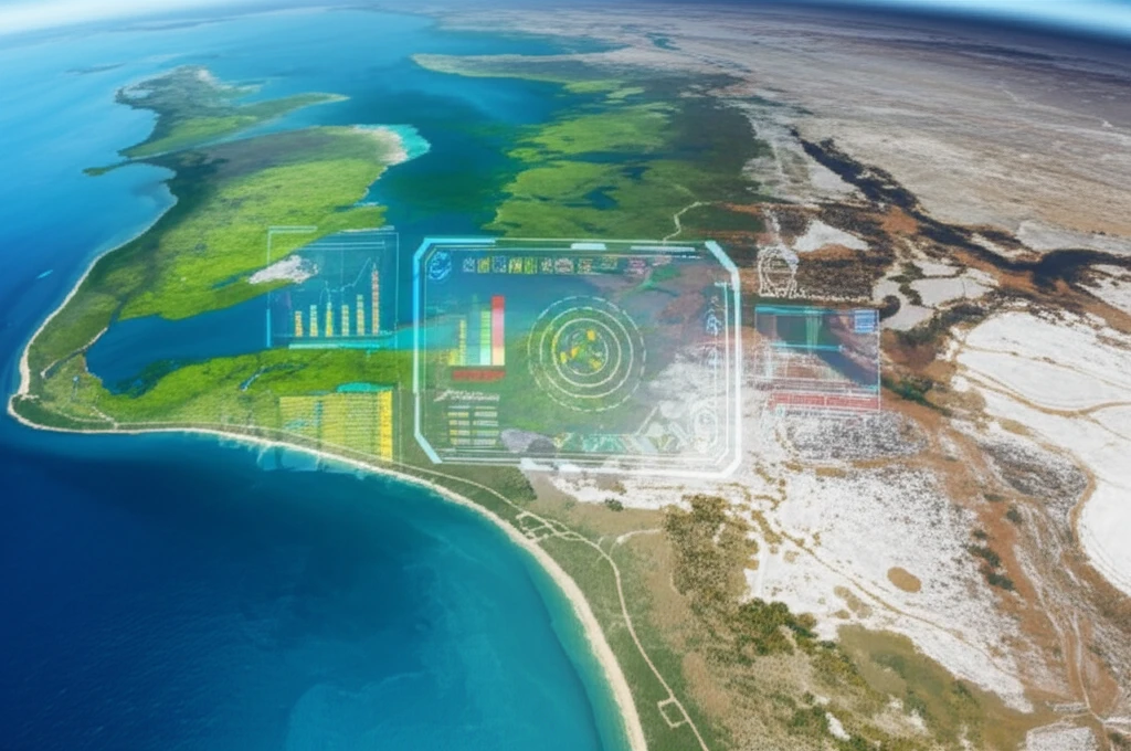
In a world grappling with the realities of climate change and environmental degradation, the need for innovative solutions has never been more critical. Scientists are turning to cutting-edge technologies, including artificial intelligence (AI) and remote sensing, to understand and protect our planet's most vulnerable ecosystems. One particularly fascinating application involves mapping halophytes, plants that thrive in salty environments, offering valuable insights into climate change impacts and conservation strategies.
Halophytes, or salt-loving plants, are found in diverse coastal and inland environments, from the arid regions of Tunisia to salt marshes and mangrove forests worldwide. These resilient plants play a crucial role in stabilizing shorelines, preventing erosion, and supporting unique biodiversity. Monitoring their distribution and health can provide valuable data on soil salinity, a growing concern in many regions due to climate change and unsustainable land management practices. This is where AI and remote sensing come into play.
This article delves into a groundbreaking study that utilizes AI and satellite imagery to map halophyte vegetation in Ghannouch, Tunisia. We'll explore the methods used, the results achieved, and the broader implications for environmental monitoring and conservation. From the technology behind the analysis to the real-world impact, we'll uncover how these advancements are helping scientists better understand and protect our planet.
The AI Revolution: How Satellite Data and Algorithms are Transforming Environmental Science
The process of mapping halophytes begins with data collection. Scientists use satellite imagery from the European Space Agency's Sentinel-2, which captures high-resolution images of the Earth's surface. This imagery includes data from various spectral bands, or wavelengths of light, that provide unique information about the land cover. These bands include visible light (red, green, blue), near-infrared, and shortwave infrared, each revealing different characteristics of the vegetation and soil.
- NDVI (Normalized Difference Vegetation Index): Measures vegetation health and density.
- NDWI (Normalized Difference Water Index): Highlights water bodies, helping to differentiate them from other land cover types.
- Salinity Indices (SIs): Identify areas with high soil salinity, indicating the presence of halophytes.
A Brighter Future for Our Planet
The use of AI and remote sensing technology to map halophytes represents a significant step forward in environmental monitoring and conservation. By providing accurate and efficient methods for assessing these critical ecosystems, scientists can better understand the impacts of climate change and develop targeted conservation strategies. This technology holds promise for safeguarding vulnerable environments, promoting sustainable land management practices, and contributing to a healthier planet for all. The ability to monitor these delicate ecosystems, and understand the changes that occur within them, helps us to improve our ability to adapt to and reverse the effects of climate change and other factors, leading to a better future for the world.