Unveiling Hidden Radiation: How Mobile Networks are Mapping Our Environment
"Discover how a new approach to radiation monitoring is using mobile sensor networks to create detailed spatial-temporal maps, improving safety and security in urban landscapes."
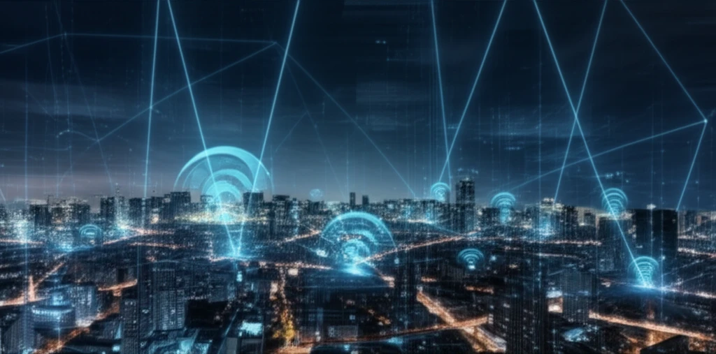
Imagine a city where potential radiation threats are detected not by static sensors, but by a dynamic network constantly learning and adapting. In an era where security and environmental awareness are paramount, the ability to accurately monitor and model background radiation is crucial. However, this is a complex task. Natural variations in soil composition, building materials, and even weather patterns cause background radiation levels to fluctuate, making it difficult to pinpoint dangerous anomalies.
Traditional methods often rely on static sensor networks and assumptions about background radiation that may not hold true in dynamic urban environments. This can lead to false alarms or, more worryingly, missed threats. The challenge lies in developing a system that can distinguish between normal fluctuations and genuinely concerning radiation events.
To address these challenges, researchers at the University of Illinois at Urbana-Champaign developed a mobile sensor network combined with a sophisticated algorithm for modeling background radiation. This innovative approach promises a more detailed and responsive method for radiation monitoring, with significant implications for homeland security and environmental safety.
The Power of Mobile Monitoring: Building a Smarter Radiation Map
The core of this new system is a mobile sensor network comprised of radiation detectors attached to smartphones. These 'nodes' are designed to be deployed on vehicles, drones, or even carried by personnel, constantly moving through the environment and collecting data. Each node is equipped with:
- Decouple Spatial and Temporal Variations: BR-MLE separates background radiation into its spatial distribution (caused by varying materials) and temporal fluctuations (primarily due to weather).
- Estimate Spatial Distribution: The algorithm identifies areas of consistently higher or lower background radiation.
- Capture Temporal Fluctuations: It tracks how radiation levels change over time, particularly in response to rainfall.
Towards a Safer Future: Real-World Implications
This research demonstrates a significant step forward in how we monitor and understand background radiation. By moving beyond static sensors and embracing the power of mobility and advanced algorithms, we can create a more detailed, accurate, and responsive radiation monitoring system.
The potential applications of this technology are vast, ranging from enhanced security at public events to improved environmental monitoring around nuclear facilities. The ability to quickly identify and respond to radiation anomalies is crucial for protecting public health and safety.
As sensor technology continues to evolve and algorithms become more sophisticated, we can expect even more innovative approaches to radiation monitoring in the future. This research paves the way for a smarter, safer, and more secure urban environment.