Unlocking Nature's Secrets: How Scientists Use Satellites to Understand Our World's Water
"From Rainfall to River Basins: Exploring the Cutting-Edge Science of Monitoring Earth's Precious Water Resources with Satellite Technology."
In an era defined by climate change and increasing environmental concerns, understanding and managing our planet's water resources is more critical than ever. But how do scientists keep tabs on something as vast and dynamic as Earth's water cycle? The answer lies in an exciting intersection of technology and environmental science: satellite remote sensing. This innovative approach allows researchers to monitor water bodies, rainfall patterns, and even the health of vegetation, offering invaluable insights into our world's precious resources.
This groundbreaking research is not just for scientists and academics; it's for everyone who cares about our planet's future. By using satellite data, we can better understand the intricate relationships within our ecosystems and how human activities impact them. This knowledge empowers us to make informed decisions about water management, conservation, and sustainable development.
This article delves into the innovative methodologies used by researchers to monitor our water resources. We'll explore how they utilize satellite data, analyze the benefits and limitations of the approach, and show the importance of this technology in today's world. From the Amazon rainforest to the agricultural heartlands, the application of satellite-based monitoring provides a deeper insight into water management. By the end of this piece, you'll have a new appreciation for the intricate connections between technology, the environment, and our everyday lives.
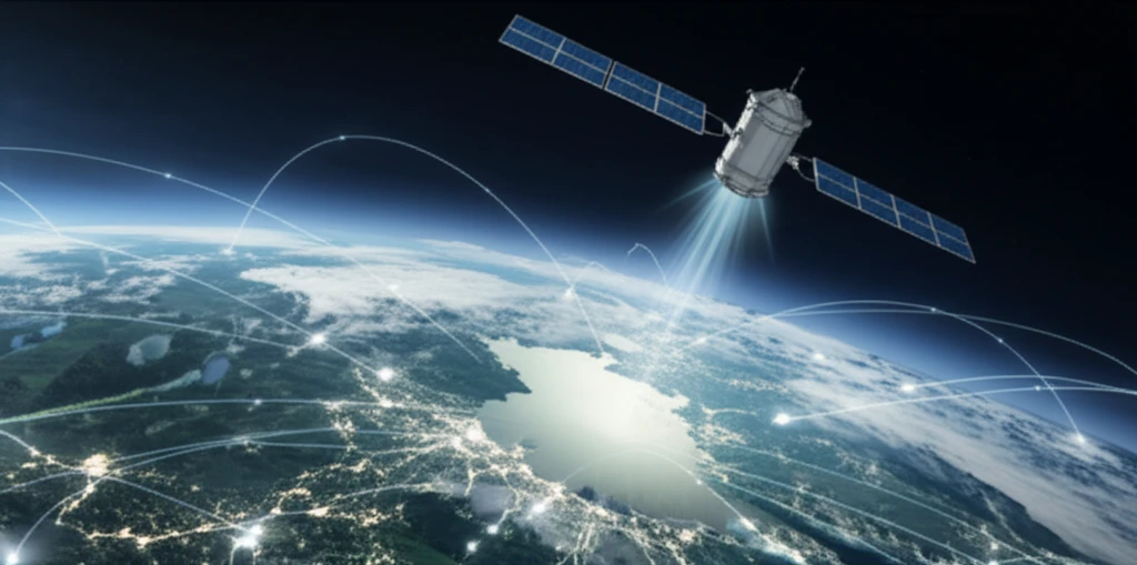
Tracking Water from Space: The Power of Satellite Remote Sensing
Satellite remote sensing is a powerful technology that allows scientists to collect data about the Earth's surface without physical contact. This is achieved using instruments mounted on satellites that orbit our planet. These instruments, equipped with various sensors, capture information about the Earth's surface, including the amount of solar radiation reflected by different surfaces, the temperature of the land and water, and even the presence of specific chemicals.
- Rainfall Patterns: Satellites equipped with advanced radar and microwave sensors can measure rainfall intensity and distribution across vast areas.
- Surface Water: Satellite imagery can map the extent of rivers, lakes, and wetlands, showing changes over time due to factors like drought, flooding, or human activities.
- Soil Moisture: By analyzing the amount of microwave radiation emitted by the ground, satellites can estimate the moisture content of the soil.
- Vegetation Health: Satellites can assess the health of vegetation by measuring the amount of sunlight absorbed and reflected by plants. This information is useful for monitoring agricultural lands and natural ecosystems.
A Future of Informed Decisions: The Role of Satellites in Water Management
As our planet faces increasing water scarcity and environmental challenges, the role of satellite remote sensing in water management will only become more critical. By continuing to refine these techniques and expand our global observation capabilities, we can make better decisions and promote sustainable practices. With satellite technology, we can see our world's water resources in unprecedented detail, empowering us to protect and preserve these precious resources for future generations.