Unlocking Earth's Secrets: How Geophysics is Shaping Pakistan's Energy Future
"A deep dive into the integrated geophysical analysis and rock physics study confirming hydrocarbon reservoirs in the Bitrisim area, offering insights into Pakistan's subsurface structures and energy potential."
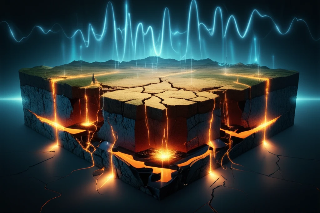
In the quest to meet growing energy demands, understanding the Earth's subsurface is paramount. Pakistan, with its complex geological structures, presents both opportunities and challenges for hydrocarbon exploration. Traditional methods often fall short, necessitating advanced techniques to improve seismic resolution and interpretation accuracy.
A recent study focused on the Bitrisim area in Pakistan's Sindh province showcases an integrated approach, combining geophysical analysis and rock physics to confirm hydrocarbon reservoirs. This research offers a model for more effective exploration, potentially unlocking significant energy resources. This exploration utilizes sophisticated methods to uncover the subsurface architecture of the Bitrisim area, pinpointing potential reservoirs with greater precision. By integrating various data sources, geophysicists can construct a clearer picture of the region's energy landscape.
This study not only confirms the presence of hydrocarbons but also underscores the importance of advanced technologies in resource exploration. As energy needs continue to rise, embracing these techniques could be key to unlocking Pakistan's energy potential and ensuring a sustainable energy future.
Decoding the Subsurface: What Geophysical Analysis Reveals?
Geophysical analysis serves as a crucial tool in deciphering the Earth's hidden structures, particularly in hydrocarbon exploration. By integrating seismic data, well logs, and other geophysical measurements, scientists can develop a comprehensive understanding of subsurface formations and identify potential reservoirs. This integrated approach significantly enhances the accuracy and reliability of exploration efforts.
- Seismic Data Analysis: Seismic reflection data illuminates subsurface geological structures and identifies potential hydrocarbon traps.
- Two-Way Time and Depth Mapping: These techniques provide a clearer picture of structural trends and subsurface formations.
- Fault Trend Identification: Mapping fault lines and their orientations helps understand tectonic history and potential reservoir locations.
- 1D Modeling: This modeling refines understanding of reservoir properties like porosity and saturation levels using data from wells such as Fateh-01.
Embracing Innovation for Sustainable Energy
The Bitrisim area study highlights the transformative potential of integrated geophysical analysis in hydrocarbon exploration. As Pakistan aims to secure its energy future, embracing these advanced techniques is essential. Continuous innovation and further research will pave the way for more efficient and sustainable energy resource development. By refining exploration methods and incorporating new technologies, Pakistan can unlock its energy potential and ensure a stable and prosperous future.