Unearthing Earth's Secrets: How Geophysics is Rewriting Southern Brazil's Story
"A Deep Dive into the Integrated Geophysical Mapping of the Sul-Riograndense Shield Reveals Hidden Geological Provinces and Their Impact on Our Understanding of Earth's History"
Imagine holding a map not just of the surface of the earth, but of its very bones. That's precisely what geophysicists are doing in Southern Brazil, using advanced techniques to peer beneath the soil and unlock the secrets of the Sul-Riograndense Shield, a vast expanse of ancient rock that holds clues to our planet's history.
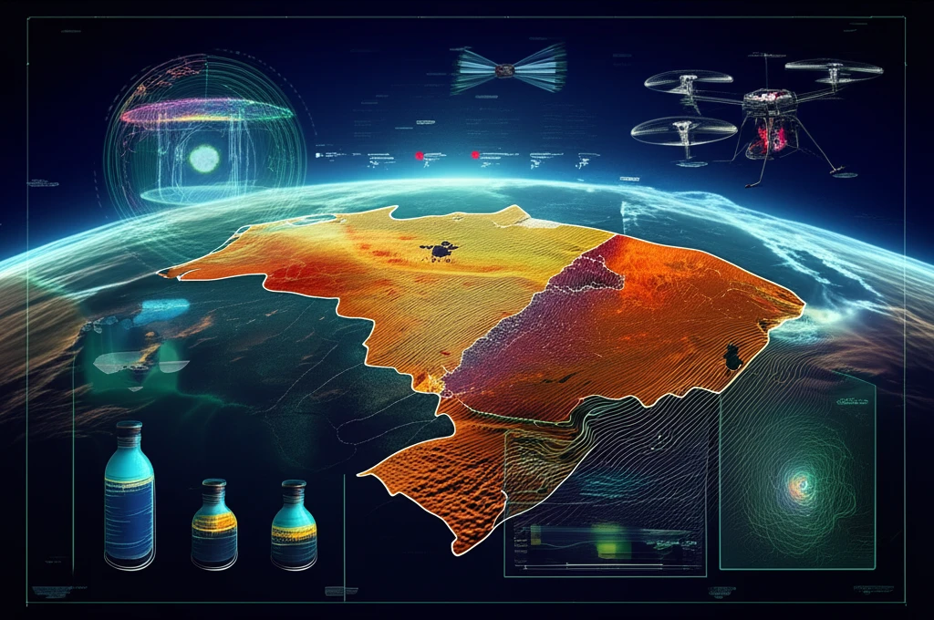
For decades, geologists have painstakingly pieced together the story of this region through fieldwork, sample analysis, and isotopic dating. Now, a new era of integrated geophysical mapping is taking this understanding to unprecedented depths. By combining aeromagnetometry (measuring magnetic fields) and aerogammaspectrometry (measuring gamma radiation), scientists are creating a comprehensive picture of the shield's composition and structure.
This isn't just about academic curiosity. The insights gained from this research have the potential to revolutionize our understanding of the region's geological evolution, identify new areas for resource exploration, and even provide a framework for understanding broader tectonic processes shaping our world.
What Can We Learn from Geophysical Surveys?
The Sul-Riograndense Shield, located in the southernmost state of Rio Grande do Sul, Brazil, is a geological treasure trove. Its rocks have been studied for over a century, with intensive investigations in recent decades. Modern research integrates field mapping with advanced zircon dating techniques, providing a clearer picture of the shield's composition and history. The use of Sensitive High-Resolution Ion Microprobe (SHRIMP) dating has been crucial in identifying the ages of various rock formations.
- Aeromagnetometry: Measures magnetic signals to register near-surface crustal compositions and total crust composition, indicating shallow or whole crustal structures.
- Aerogammaspectrometry: Registers gamma rays from rocks near the surface, describing the distribution of major units such as the Pelotas batholith and the Taquarembó terrane.
- Integrated Observations: Lead to a deeper understanding of the Sul-Riograndense Shield's structures, helping correlate them with field geology.
What's Next for the Sul-Riograndense Shield?
The integrated evaluation of the Sul-Riograndense Shield is an ongoing journey. Future studies will focus on correlating these findings with detailed field geology. The significance lies in identifying different geological provinces and their boundaries through various data acquisition methods, enhancing our knowledge of the shield and its potential resources. This comprehensive approach promises to unlock more of Earth's geological secrets.