Mapping the Vastness: How Canadian Cartography Shapes Our World
"From historical milestones to cutting-edge technology, explore how Canadian cartography has charted the nation's identity and future."
Canada’s cartographic journey, as presented in the Canadian National Report to the International Cartographic Association, offers a compelling look at how maps have shaped and defined the nation. Published in Geomatica, the report highlights the achievements and innovations in Canadian cartography from 2011 to 2015, reflecting the diverse activities across government, industry, and education.
This comprehensive overview underscores the importance of mapping not only as a technical endeavor but also as a cultural and historical record. From completing the National Topographic Series to pioneering cybercartographic atlases, Canada's contributions to the field demonstrate its commitment to spatial understanding and technological advancement.
As we delve into the key aspects of this report, we'll uncover how Canadian cartography addresses contemporary challenges, honors its past, and paves the way for future innovations in mapping and geospatial technologies.
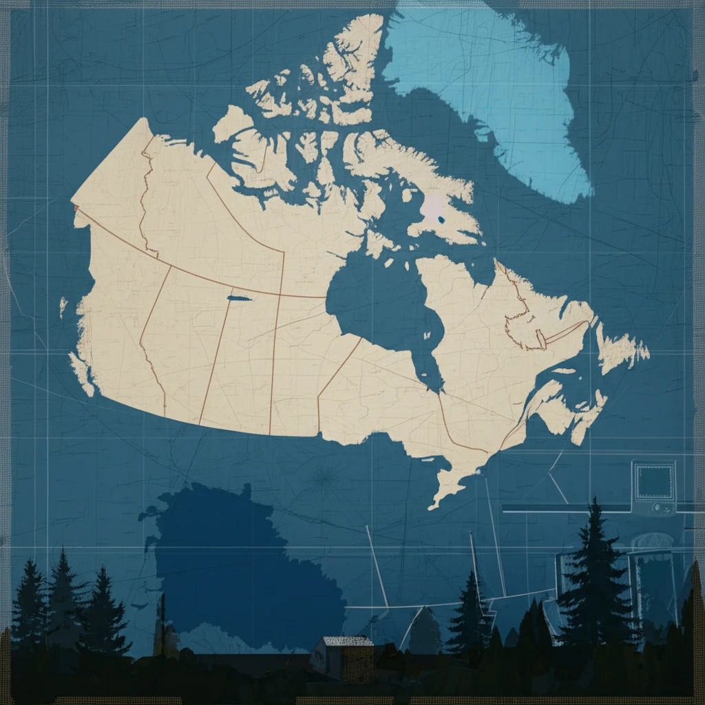
Completion of the National Topographic Series: A Milestone
One of the most significant achievements during this period was the completion of the National Topographic Series (NTS) at a scale of 1:50,000 in 2012. The final sheet, NTS 059H12, depicted Pyramid Peak on Axel Heiberg Island, a location significant as the magnetic north pole's home for much of the 20th century. This accomplishment marked the culmination of a massive effort to map Canada's vast and diverse terrain.
- Accessibility: The online availability of these maps democratizes access to geographic data, benefiting researchers, educators, and industry professionals.
- Data Richness: Offering raster, vector, and elevation data ensures users can tailor the information to their specific needs, fostering innovation.
- Economic Impact: Aligns with governmental policies to support industry by providing essential spatial data, enhancing decision-making and development.
The Enduring Legacy and Future of Canadian Cartography
Canada's cartographic achievements, as highlighted in the national report, showcase a blend of historical dedication and forward-thinking innovation. From completing the National Topographic Series to embracing cybercartography and web mapping, Canada continues to play a vital role in advancing the field of geomatics. As technology evolves, the principles of accuracy, accessibility, and comprehensive spatial understanding will continue to guide Canadian cartographers in shaping our view of the world.