
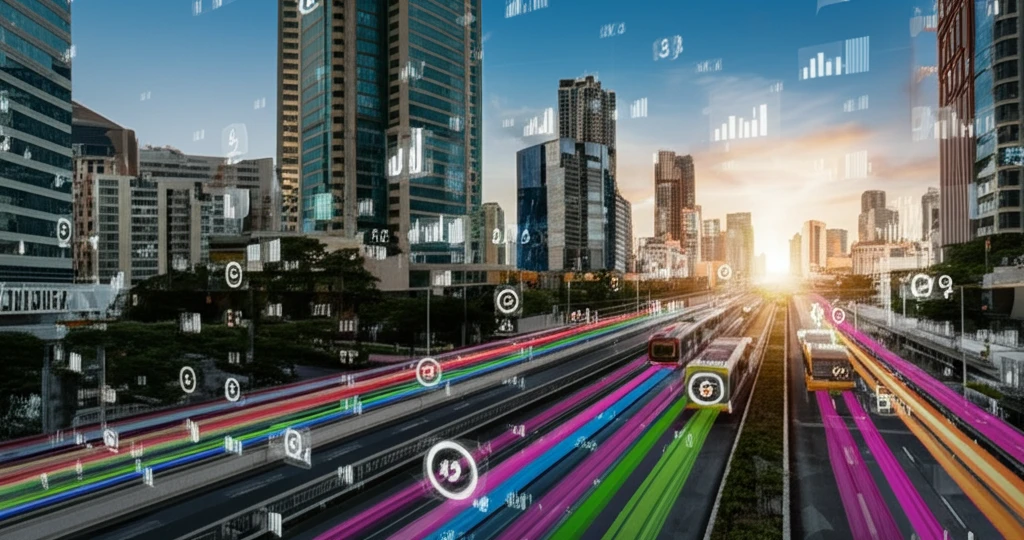
Is Your City a Traffic Nightmare? How Smart Route Planning Can Save the Day

"Discover how innovative modeling and data analysis can transform urban transport, reduce congestion, and improve your daily commute."
Urban public transportation is experiencing significant growth, which often leads to overcrowded networks and increased congestion. This surge highlights the critical need for efficient route management to minimize conflicts and improve overall traffic flow. Imagine a city where buses and trams run smoothly, without the constant delays and frustrations we've come to expect. This is the promise of smart route planning.
Traditional methods of urban route network optimization often fall short because they don't fully account for real-world constraints such as traffic volume, passenger demand, and infrastructure limitations. A new study addresses this gap by presenting an advanced model that considers these factors to minimize conflict and improve efficiency. This model aims to create route networks that not only meet the demands of a growing population but also enhance the quality of urban life.
This article will explore how this innovative approach can revolutionize urban transport. By understanding the underlying causes of congestion, implementing smart technologies, and making data-driven decisions, cities can create transport networks that are more reliable, sustainable, and user-friendly. Let's dive into the world of urban route optimization and discover how it can transform our daily commutes.
The Scope of Urban Traffic
Congestion ranks among the most commonly reported problems in cities, with commuters in many major metropolitan areas routinely losing hours to slow-moving traffic. Because such measures vary by city, region, and study, exact figures differ and should be treated as estimates rather than precise facts. Taken together, however, the available evidence points to a consistent pattern: time spent in traffic carries real economic and personal costs for both individuals and businesses.
Static Routing and Its Limits
The standard approach to route planning has long relied on precomputed maps, shortest-path calculations, and fixed navigation directions that effectively treat traffic as static. These methods work well under stable conditions but struggle to adapt when congestion spikes, accidents occur, or travel patterns shift. Their main limitation is that they react to conditions rather than anticipate them, and they may overlook alternatives that would be equally or more efficient at a given moment. As a result, even well-designed fixed routes can fall short in dynamic, real-world conditions.
From Paper Maps to Digital Routing
Before digital tools, route planning was largely a matter of printed maps, local knowledge, and driver experience. The arrival of GPS-based navigation in the 1990s and early 2000s marked a significant milestone, shifting the emphasis from reading maps to following automated turn-by-turn directions. More recently, connected devices and live traffic feeds have begun to make routing responsive rather than static. These milestones are widely recognized in the industry, though precise dates and technical details vary among accounts.
Understanding the Root Causes of Urban Traffic Congestion
Traffic congestion isn't just an inconvenience; it's a complex problem with far-reaching consequences. From wasted time and fuel to increased pollution and economic losses, the impact of traffic jams is substantial. To tackle this issue effectively, it's crucial to understand the key factors that contribute to urban traffic congestion.
- Overlapping Routes: Too many routes covering the same areas lead to unnecessary competition and congestion.
- Lack of Coordination: Poor communication between transport operators results in inefficient scheduling and resource allocation.
- Infrastructure Limitations: Inadequate road capacity and poorly designed intersections contribute to bottlenecks and delays.
- Increased Automobilization: The rising number of private vehicles on the road further strains the capacity of urban transport networks.
What 'Urban' Means in the Sources
Across dictionaries and reference works, the term 'urban' is consistently defined as relating to a city or town, in contrast to rural areas. The Cambridge Dictionary uses the term in phrases such as 'urban development,' 'urban decay,' and 'urban sprawl,' while Merriam-Webster offers a comparable definition. Wikipedia's coverage extends the topic to urbanization, the characteristics of large urban areas, and definitions that differ by country and region. The consistent thread across these sources is that 'urban' anchors the discussion in cities, the very setting in which traffic congestion and smart route planning matter most.
When the Keyword Misleads
The available source material for this subsection is the homepage of Urban Outfitters, an apparel and homeware retailer. The page promotes 'trending' items such as ripstop cargo trousers and seasonal denim, describing them as 'best sellers for a reason.' Viewed against the theme of this article, it illustrates a broader point: the word 'urban' is used across many domains, and a keyword match alone is no guarantee that a result has anything to do with cities or traffic. It also serves as a counterpoint, namely that popularity and trendiness, whether in fashion or in software, are not by themselves evidence of quality or effectiveness.
No Single Best Approach
Comparing route-planning strategies is inherently difficult because the 'best' option depends on the goal, such as fastest travel time, lowest fuel use, reduced emissions, or simple predictability. A method that excels on one metric may perform poorly on another, and results often change with the time of day and the condition of the road network in question. Evaluations of routing strategies therefore tend to favor whichever criteria an author emphasizes, so comparisons should be read with their specific objectives in mind. Ultimately, no single approach appears to dominate across all conditions.
The Future of Urban Mobility: Smart, Sustainable, and Efficient
The journey towards smarter urban mobility is ongoing, but the potential benefits are immense. By embracing data-driven decision-making, investing in innovative technologies, and prioritizing the needs of commuters, cities can create transport networks that are not only efficient but also sustainable and user-friendly. As we continue to refine and implement these advanced models, we can look forward to a future where traffic congestion is a thing of the past, and urban mobility is a seamless, enjoyable experience for all.
Tools That Complement, Not Replace
Drawing the threads together, the material broadly converges on a simple premise: cities are 'urban' places, and moving people and goods through them is central to modern urban life. Commentary on route planning generally agrees that reliance on static, reactive navigation is giving way to more responsive, data-driven approaches. Yet there is also a widespread caution that no algorithm can fully eliminate congestion, since traffic emerges from the aggregate behavior of thousands of independent drivers. A synthesis of these views points to balance: better tools help, but they complement rather than replace good urban design and coordinated policy.
Toward Predictive Mobility
Looking ahead, route planning is widely expected to lean more heavily on real-time data, connected vehicles, and machine learning to anticipate congestion rather than merely react to it. Some projections describe systems that coordinate fleets and individual trips to ease peak-hour pressure, although such visions remain partly aspirational. The pace and shape of these advances will depend on data availability, infrastructure investment, and regulatory choices. As these technologies mature, routing is likely to shift from a driver convenience into a more central component of how cities manage mobility.
Technology Meets Urban Systems
Smart route planning does not operate in a vacuum; it interacts with wider systemic issues such as housing density, land use, public transit investment, and the design of the road network itself. A routing tool can only work within the infrastructure that exists, so its benefits are constrained when roads, transit, and land-use patterns are misaligned. Challenges also include data quality, equitable access to the benefits of better routing, and privacy concerns around location tracking. Viewing the topic systemically suggests that a combination of technology and transport policy, rather than technology alone, ultimately shapes urban mobility.
The Everyday Stakes
Behind the statistics and algorithms are real people: commuters who budget extra time for the drive to work, parents whose schedules hinge on drop-off windows, and delivery drivers who judge their day by on-time arrivals. Reduced delays carry tangible daily benefits, including more time at home, less stress behind the wheel, and more reliable arrival at appointments. At the same time, poorly planned routes add frustration and can erode trust in the very tools meant to help. These human stakes are what make the technical details of route planning genuinely important.