Guardians of the Green: How Drones and AI are Revolutionizing Plant Conservation
"Discover how advanced drone technology, combined with AI-driven image analysis, is transforming the way we map and protect endangered plant species."
Forests are the lifeblood of our planet, playing a pivotal role in the global carbon cycle. Understanding the distribution and makeup of plant species within these forests is crucial for effective conservation and environmental stewardship. As botanists and environmentalists work tirelessly to protect our planet's biodiversity, they're constantly seeking innovative tools to aid their efforts.
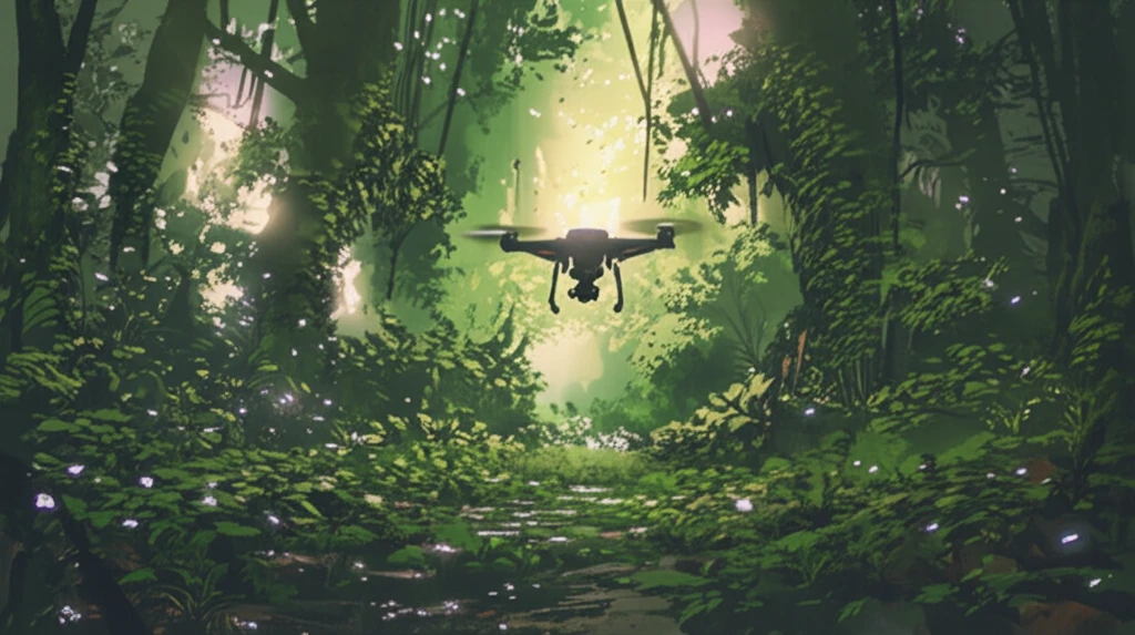
Enter remote sensing technology—a game-changer in the world of forest monitoring. By employing sensors mounted on satellites and unmanned aerial vehicles (UAVs), researchers can now efficiently survey vast regions, gathering critical data on forest distribution and species composition. While satellite remote sensing has proven invaluable for monitoring vegetation conditions over large areas, UAVs offer a distinct advantage: the ability to capture high-resolution images with incredible detail.
Recent advances in UAV-based remote sensing have opened up exciting new possibilities for ecological studies. From assessing vegetation health to analyzing plant canopies and estimating biomass, UAVs provide a wealth of data for building high-resolution airborne maps and point clouds. This technology has found widespread applications in ecological studies, offering a cost-effective and time-saving alternative to traditional field surveys.
A Technological Leap for Plant Conservation
In a groundbreaking study, researchers explored the effectiveness of mapping the canopies of Firmiana danxiaensis (FD), a rare and endangered plant species found in China. Using a customized imaging system mounted on a UAV platform, the team set out to test whether this technology could provide accurate and detailed information about the species' distribution. This research was not just an academic exercise; it was a crucial step towards a large-scale FD surveying project on Danxia Mountain, covering an area of approximately 200 square kilometers.
- Field-Based Spectra Collection: Researchers used a hand-held hyperspectral spectroradiometer to collect spectra, which was then analyzed to design a classification schema to differentiate plant species.
- Remote-Sensed Image Acquisition and Calibration: Images were meticulously acquired and calibrated through various preprocessing steps, resulting in orthoimages and a digital surface model (DSM).
- Image Segmentation: Spectral and geometric features were used to divide the preprocessed UAV imagery into homogeneous patches.
- Hierarchical Classification with SVM: A hierarchical classification system combined with a support vector machine (SVM) was used to identify FD canopies from the segmented patches.
A Greener Future Through Innovation
The convergence of UAV technology, customized imaging systems, and AI-driven analysis marks a significant leap forward in plant conservation. By providing a cost-effective, accurate, and efficient method for mapping endangered species like Firmiana danxiaensis, this approach empowers researchers and local governments to make informed decisions and implement effective conservation strategies. As we continue to refine and expand these technologies, we can look forward to a future where our planet's precious biodiversity is better understood and protected.