Geodetic network over Costa Rica with orbiting satellites

Geodetic GPS Networks: How Costa Rica is Linking the Past to a High Accuracy Future

"Discover how Costa Rica is modernizing its geodetic system using advanced GPS technology to ensure accuracy and consistency in mapping and spatial data."


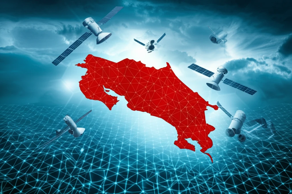
For decades, countries relied on locally defined reference systems for mapping and surveying. However, the advent of satellite positioning technologies has highlighted the need for global reference systems. Costa Rica, recognizing this shift, embarked on a project to connect its national reference system, CR05, with modern Global Navigation Satellite System (GNSS) techniques.

The primary goal was to establish a dynamic reference frame that aligns with international standards, ensuring accuracy and consistency in spatial data. This involved processing data from continuous GNSS observation stations using advanced scientific software. The methodology adhered to the standards set by the SIRGAS (Sistema de Referencia Geocéntrico para las Américas) processing centers, focusing on weekly adjustments and linking to the SIRGAS reference frame.

The results provide highly accurate geocentric coordinates (X, Y, Z) for a network of 17 GNSS stations across Costa Rica, referenced to the epoch 2012.98. These coordinates boast accuracies of 0.20 mm, 0.15 mm, and 4.4 mm respectively, marking a significant step forward in Costa Rica's geodetic infrastructure.

Why Update a Geodetic System? The Imperative for Modern Accuracy

Geodetic network over Costa Rica with orbiting satellites

A reference system, by definition, is materialized by its reference frame, which consists of geodetic stations located on the ground with known coordinates and accuracy. It should also be accompanied by the epoch to which the coordinates refer and the velocities of displacement over time to ensure the maintenance of the reference frame as the years pass. The Costa Rican system, CR05, faced obsolescence. Originally linked to an outdated reference frame, the passive network suffered deformations from seismic events.

The original CR05 system was based on measurements processed within the ITRF2000 datum. With the availability of the updated IGb08, an update was essential. Maintaining a reference frame requires quantifying changes in coordinates due to tectonic or geodynamic effects, such as the September 2012 earthquake in Nicoya, which significantly impacted the CR05 datum, especially in Guanacaste.

  • Global Alignment: Aligning with global reference systems enhances compatibility with international data and facilitates collaborative projects.
  • Disaster Response: Up-to-date geodetic data is crucial for assessing and responding to natural disasters like earthquakes and tsunamis.
  • Infrastructure Development: Accurate positioning is essential for planning and constructing infrastructure projects, ensuring alignment and stability.
  • Resource Management: Precise spatial data supports effective management of natural resources, land use planning, and environmental conservation.
  • Scientific Research: A modern geodetic framework enables advanced scientific research, contributing to a better understanding of Earth's dynamics.
This highlights the necessity of establishing a dynamic geodetic reference frame to ensure consistency, durability, and precision over time. The new frame should be accessible through satellite positioning techniques and facilitate the integration and transfer of existing geospatial information. The project aimed to create a geodetic network linking the dynamic SIRGAS datum and the CR05 system, addressing the obsolescence in the country's reference frames.

The Path Forward: Modernizing Costa Rica's Geodetic System

This research, conducted within the National Center for GNSS Data Processing at the School of Topography, Cadastre, and Geodesy of the National University, employed the same rigorous processing strategy as all SIRGAS analysis centers in Latin America and Germany. The standards, evaluation criteria, and linkage strategy to the SIRGAS framework represent a novel approach in the treatment, processing, and definition of modern reference frames based on GPS observations.

About this Article -

This article was crafted using a human-AI hybrid and collaborative approach. AI assisted our team with initial drafting, research insights, identifying key questions, and image generation. Our human editors guided topic selection, defined the angle, structured the content, ensured factual accuracy and relevance, refined the tone, and conducted thorough editing to deliver helpful, high-quality information.See our About page for more information.

This article is based on research published under:

DOI-LINK: 10.15359/ru.30-2.7, Alternate LINK

Title: Red Geodésica Gnss De Vínculo Entre El Datum Dinámico Sirgas Y El Sistema Cr05 De Costa Rica

Subject: General Earth and Planetary Sciences

Journal: Uniciencia

Publisher: Universidad Nacional de Costa Rica

Authors: María José Rivas-Guzmán, Jorge Moya-Zamora

Published: 2016-07-26

Everything You Need To Know

1

How is Costa Rica improving its geodetic system for mapping?

Costa Rica is modernizing its geodetic system by linking the legacy CR05 system with the dynamic SIRGAS datum using state-of-the-art GNSS technology. This ensures alignment with international standards, and improves the accuracy and consistency of spatial data. The new reference frame provides highly accurate geocentric coordinates (X, Y, Z) for a network of GNSS stations across the country.

2

Why was it necessary to update Costa Rica's original CR05 geodetic system?

The original CR05 system was based on measurements processed within the ITRF2000 datum. Now, with the availability of the updated IGb08, an update was essential. Maintaining a reference frame requires quantifying changes in coordinates due to tectonic or geodynamic effects, such as the September 2012 earthquake in Nicoya, which significantly impacted the CR05 datum, especially in Guanacaste. These events can cause deformations in passive networks, making the original system obsolete.

3

What are the key benefits of updating to a modern geodetic system aligned with global standards?

Aligning with global reference systems like SIRGAS enhances compatibility with international data and facilitates collaborative projects. Up-to-date geodetic data is crucial for assessing and responding to natural disasters like earthquakes, and accurate positioning is essential for planning and constructing infrastructure projects. Precise spatial data supports effective management of natural resources, land use planning, and environmental conservation. A modern geodetic framework enables advanced scientific research, contributing to a better understanding of Earth's dynamics.

4

What methodologies are used to modernize the geodetic network?

The geodetic network in Costa Rica uses data from continuous GNSS observation stations, processed using advanced scientific software. The methodology adheres to the standards set by the SIRGAS processing centers, focusing on weekly adjustments and linking to the SIRGAS reference frame. This results in highly accurate geocentric coordinates (X, Y, Z) for the GNSS stations, referenced to the epoch 2012.98.

5

What are the results of modernizing the geodetic system in Costa Rica?

The project aimed to create a geodetic network linking the dynamic SIRGAS datum and the CR05 system, addressing the obsolescence in the country's reference frames. The system provides highly accurate geocentric coordinates for a network of 17 GNSS stations across Costa Rica, referenced to the epoch 2012.98. These coordinates boast accuracies of 0.20 mm, 0.15 mm, and 4.4 mm respectively. This system can be used as a future tool when responding to natural disasters and infrastructure development.

Newsletter Subscribe

Subscribe to get the latest articles and insights directly in your inbox.