Forecasting the Fury: How New Satellite Tech Can Predict Tropical Cyclone Size
"L-Band Microwave Radiometers Provide Enhanced Wind Speed Data for Improved Hurricane Predictions"
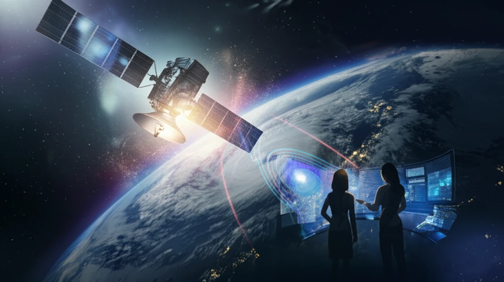
Tropical cyclones (TCs), also known as hurricanes or typhoons, are among the most destructive weather phenomena on Earth. Accurate prediction of their intensity and size is crucial for issuing timely warnings and minimizing the impact on vulnerable communities. While forecasting TC tracks has improved significantly, predicting changes in intensity and size remains a considerable challenge. New satellite technologies are emerging to enhance our ability to monitor and forecast these storms effectively.
Traditionally, monitoring TCs relied on methods such as cloud pattern recognition from visible and infrared satellite images. The Dvorak technique, for example, has been a standard approach for estimating the maximum sustained wind (MSW) in TCs. However, these methods are indirect and can be limited by cloud cover and other factors. Newer technologies, particularly those involving microwave radiometry, offer more direct and reliable ways to measure surface wind speeds and storm structure, even in adverse weather conditions.
This article explores the capabilities of a new generation of satellite microwave radiometers operating at L-band frequency and dual C-band, highlighting their potential to improve the accuracy and timeliness of TC forecasts. These advancements promise to provide better data on wind speed structure, leading to more effective warnings and enhanced preparedness for coastal regions.
How L-Band and Dual C-Band Radiometers are Changing Hurricane Prediction
Recent advancements in satellite technology introduce microwave radiometers operating at L-band (around 1.4 GHz) and dual C-band (approximately 6.9 and 7.3 GHz). These instruments provide wide swath coverage—more than 1000 km—with a spatial resolution of about 40 km and a revisit time of approximately three days. This frequent and broad coverage allows for consistent monitoring of storm systems, enhancing the ability to capture rapid changes in size and intensity.
- L-Band Radiometers: Provide nearly rain-free measurements, improving data reliability in severe weather.
- Dual C-Band Radiometers: Minimize atmospheric effects, ensuring more accurate readings.
- Wide Swath Coverage: Enhance temporal sampling, capturing rapid storm changes with high frequency.
The Future of Hurricane Forecasting is Here
The integration of L-band and dual C-band radiometry into operational forecasting represents a significant leap forward in our ability to predict the behavior of tropical cyclones. By providing more accurate and reliable data on wind speed and storm structure, these technologies enable forecasters to issue more timely and effective warnings, ultimately saving lives and reducing property damage. As these technologies continue to evolve, we can expect even greater improvements in our understanding and prediction of these formidable weather events.