El Salvador's Early Warning System: A blend of technology and community resilience.

El Salvador's Fight Against Disaster: How Tech is Building Resilience

"From earthquakes to hurricanes, this small nation is leveraging early warning systems and data to protect its people. Can its innovative approach serve as a model for other vulnerable countries?"


El Salvador, nestled in the heart of Central America's tropical climate zone and within the volatile Ring of Fire, faces a constant barrage of natural hazards. From the earth-shattering force of earthquakes and volcanic eruptions to the torrential downpours of hurricanes and tropical storms, the country is perpetually at risk. This reality has driven a critical need to develop robust strategies for disaster preparedness and response.

For years, El Salvador has grappled with significant economic losses due to these disasters. Studies reveal staggering annual costs, placing the nation among the most vulnerable on the planet. Traditional methods of disaster management are simply not enough in the face of such persistent threats. That's why a new approach is taking root: leveraging technology to create sophisticated early warning systems (EWS).

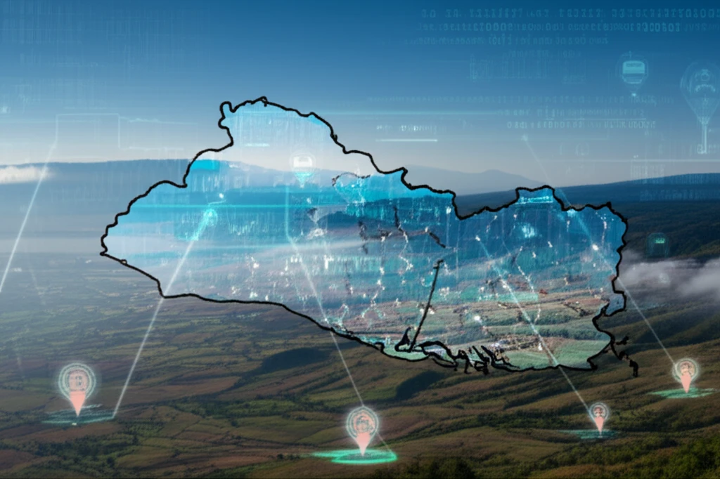
Early warning systems offer a lifeline, providing timely alerts that empower communities to take action before disaster strikes. At the heart of this technological transformation lies geographical information systems (GIS), powerful tools that integrate field data, satellite imagery, and real-time sensor information to provide a comprehensive view of potential threats. This article explores how El Salvador is harnessing the power of GIS and other innovative technologies to build a more resilient future, potentially offering a blueprint for other nations facing similar challenges.

Building a Digital Defense: El Salvador's Early Warning System

El Salvador's Early Warning System: A blend of technology and community resilience.

The Ministry of Environment and Natural Resources (MARN) in El Salvador is leading the charge, diligently monitoring potential disasters and continuously upgrading its technology. Telemetry, the automated collection of data from remote sensors, forms the backbone of this system, feeding crucial information into a centralized monitoring center.

This center acts as the nerve center for disaster preparedness, integrating data from various sources to generate timely and accurate forecasts. The key components of this integrated system include:

  • Hydrological Monitoring: Tracking river levels and rainfall to predict floods.
  • Meteorological Monitoring: Analyzing weather patterns to anticipate storms and droughts.
  • Seismic and Volcanic Monitoring: Detecting ground movement and volcanic activity to warn of potential earthquakes and eruptions.
  • Landslide Susceptibility Mapping: Identifying areas prone to landslides based on geological and environmental factors.
To maximize the impact of this data, MARN utilizes a combination of open-source and proprietary software to develop user-friendly applications that disseminate information in real-time. This ensures that critical warnings reach the public quickly and are easily understood, enabling them to take appropriate action.

From Data to Action: Empowering Communities

El Salvador's commitment to building a comprehensive early warning system goes beyond data collection and analysis. Recognizing the importance of community engagement, MARN utilizes diverse communication channels to reach the entire population, including radio broadcasts, social networks, and mobile applications.

One notable example is the 'Weather Hazard' mobile app, which provides real-time flood and landslide warnings directly to citizens. This app combines data from the Global Earth Observation System of Systems (GEOSS) with MARN's local datasets, empowering users to make informed decisions and take preventive measures.

While El Salvador has made significant strides in building its disaster resilience, challenges remain. Further digitization, improved data standardization across institutions, and increased installation of in-situ sensors are crucial next steps. By continuing to invest in technology, community engagement, and international collaboration, El Salvador can serve as a model for other vulnerable nations seeking to protect their citizens from the devastating impacts of natural disasters.

About this Article -

This article was crafted using a human-AI hybrid and collaborative approach. AI assisted our team with initial drafting, research insights, identifying key questions, and image generation. Our human editors guided topic selection, defined the angle, structured the content, ensured factual accuracy and relevance, refined the tone, and conducted thorough editing to deliver helpful, high-quality information.See our About page for more information.

This article is based on research published under:

DOI-LINK: 10.1186/s40965-016-0010-3, Alternate LINK

Title: Tools To Operate And Manage Early Warning Systems For Natural Hazards Monitoring In El Salvador

Subject: General Medicine

Journal: Open Geospatial Data, Software and Standards

Publisher: Springer Science and Business Media LLC

Authors: Jacqueline Yamileth Rivera

Published: 2016-08-09

Everything You Need To Know

1

What technologies are being utilized in El Salvador to improve disaster preparedness?

El Salvador is using geographical information systems (GIS) to create early warning systems. GIS integrates field data, satellite imagery, and real-time sensor information to give a complete picture of possible threats. This helps in disaster preparedness and building a more resilient future. They also leverage telemetry for automated data collection.

2

Which governmental organization is responsible for monitoring disasters and upgrading technology to protect the people of El Salvador?

The Ministry of Environment and Natural Resources (MARN) is at the forefront, overseeing disaster monitoring and tech upgrades. They gather data via telemetry and oversee a central monitoring center. The integrated system includes hydrological monitoring, meteorological monitoring, seismic and volcanic monitoring, and landslide susceptibility mapping.

3

Besides early warning systems, how does El Salvador ensure the information reaches its citizens?

El Salvador uses various communication methods such as radio broadcasts, social networks, and mobile applications to reach its people. This guarantees that warnings are delivered promptly and understood, empowering the public to act appropriately. Community engagement is a vital part of their strategy.

4

What makes El Salvador so susceptible to frequent natural disasters?

El Salvador is located in an area with high risk of natural disasters such as earthquakes, volcanic eruptions, hurricanes, and tropical storms due to its location within Central America's tropical climate zone and the Ring of Fire. This exposes the country to frequent natural hazards.

5

How does El Salvador ensure maximum effectiveness of early warning systems?

El Salvador uses an integrated approach. The Ministry of Environment and Natural Resources (MARN) utilizes diverse communication channels like radio, social networks, and mobile apps to disseminate warnings and to inform the public. By integrating these communication channels and also integrating data from hydrological, meteorological, seismic and volcanic monitoring El Salvador is maximizing impact.

Newsletter Subscribe

Subscribe to get the latest articles and insights directly in your inbox.