Drone using Airborne Optical Sectioning to reveal hidden archaeological site.

Drone Visionaries: Unveiling Hidden Worlds with Airborne Optical Sectioning

"A new frontier in remote sensing uses image-based rendering to see through dense foliage and discover concealed artifacts."


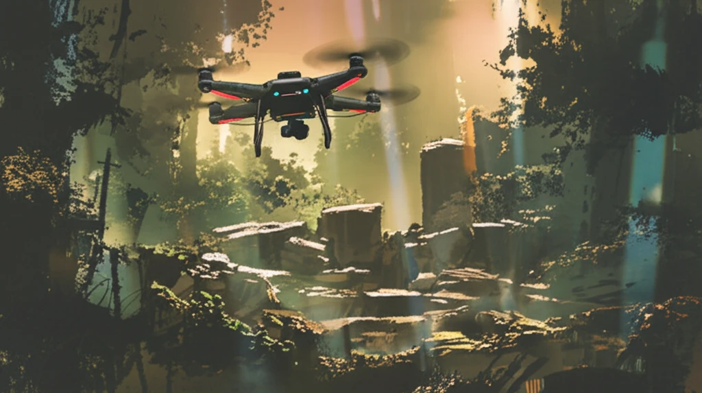
The use of drones has exploded across various sectors, from archeology to forestry, providing an efficient means of surveying landscapes, particularly small areas of up to several hundred square meters. Traditionally, techniques like LiDAR (light detection and ranging) and photogrammetry have been employed for 3D reconstruction, yet a new approach is emerging that promises to change how we perceive and analyze our world.

Enter Airborne Optical Sectioning (AOS), a radical method rooted in the concept of synthetic aperture imaging. Unlike traditional techniques that measure and render 3D point clouds or triangulated meshes, AOS leverages image-based rendering for 3D visualization. This innovative method bypasses the pitfalls of photogrammetry, such as inaccurate correspondence matches and prolonged processing times. Furthermore, AOS presents a cost-effective alternative to LiDAR, providing surface color information and the potential for high sampling resolutions.

AOS works by sampling the optical signal of wide synthetic apertures—ranging from 30 to 100 meters in diameter—using unstructured video images captured by a low-cost camera drone. This process supports optical sectioning through image integration, resulting in a shallow depth of field where out-of-focus occluders are strongly blurred, while points in focus remain sharply visible. By computationally shifting focus, AOS enables optical slicing through dense structures like forests, revealing concealed artifacts on the ground.

How Airborne Optical Sectioning Works: Seeing the Unseen

Drone using Airborne Optical Sectioning to reveal hidden archaeological site.

The core principle behind AOS lies in its ability to computationally integrate multiple images captured from different viewpoints to simulate a much larger lens. This 'synthetic aperture' allows for a drastically reduced depth of field. Think of it like focusing a camera very precisely—elements outside that focal plane blur significantly. In AOS, this blurring effect is strategically used to minimize the impact of obstructions like leaves and branches.

Here’s a breakdown of the key components:

  • Image Acquisition: A drone equipped with a standard camera captures video footage of the target area. The drone follows a carefully planned path to sample the synthetic aperture.
  • Geo-Referencing: Each video frame is tagged with its precise location and orientation data.
  • Image Rectification: The images are corrected for lens distortion.
  • Synthetic Aperture Rendering: A virtual camera is created within the software. Its parameters (position, orientation, focus) can be adjusted interactively.
  • Ray Integration: The software integrates rays of light from multiple images that intersect at a specific point on the virtual camera's focal plane. This integration process effectively simulates a large aperture lens.
  • Focal Slicing (Optional): For non-flat surfaces, the focal plane can be adjusted to create a series of images with varying focus depths. These images are then combined to create a final image with a greater overall depth of field.
The result is a composite image where the foreground clutter is blurred, allowing hidden objects to become visible. This technique is particularly powerful for archaeological surveys where subtle ground features might be obscured by vegetation.

The Future of Seeing the Unseen

Airborne Optical Sectioning offers a compelling new approach to remote sensing, particularly in scenarios where traditional methods fall short. While it may not replace LiDAR entirely for applications requiring precise 3D measurements, AOS provides a cost-effective, visually intuitive way to explore partially hidden environments. As drone technology and image processing techniques continue to advance, AOS promises to become an increasingly valuable tool for archaeologists, environmental scientists, and anyone seeking to uncover the secrets hidden beneath the surface.

About this Article -

This article was crafted using a human-AI hybrid and collaborative approach. AI assisted our team with initial drafting, research insights, identifying key questions, and image generation. Our human editors guided topic selection, defined the angle, structured the content, ensured factual accuracy and relevance, refined the tone, and conducted thorough editing to deliver helpful, high-quality information.See our About page for more information.

This article is based on research published under:

DOI-LINK: 10.3390/jimaging4080102, Alternate LINK

Title: Airborne Optical Sectioning

Subject: Electrical and Electronic Engineering

Journal: Journal of Imaging

Publisher: MDPI AG

Authors: Indrajit Kurmi, David Schedl, Oliver Bimber

Published: 2018-08-13

Everything You Need To Know

1

How does Airborne Optical Sectioning (AOS) actually work to 'see through' things like forests and reveal hidden objects?

Airborne Optical Sectioning (AOS) uses a low-cost camera drone to capture unstructured video images. These images sample wide synthetic apertures, typically ranging from 30 to 100 meters in diameter. Optical sectioning is achieved through image integration, where out-of-focus occluders are blurred, and points in focus remain sharp. By computationally shifting the focus, AOS can effectively 'slice' through dense structures like forests, revealing concealed artifacts below.

2

What are the main benefits of using Airborne Optical Sectioning (AOS) compared to LiDAR and photogrammetry?

Airborne Optical Sectioning (AOS) offers several advantages over traditional LiDAR and photogrammetry. It's more cost-effective than LiDAR while providing surface color information and potentially higher sampling resolutions. Unlike photogrammetry, AOS avoids issues like inaccurate correspondence matches and prolonged processing times. While LiDAR excels in precise 3D measurements, AOS provides a visually intuitive and cost-effective way to explore partially hidden environments.

3

Could you break down the specific steps involved in Airborne Optical Sectioning (AOS), from image capture to final rendering?

The key components of Airborne Optical Sectioning (AOS) include: Image Acquisition (capturing video with a drone), Geo-Referencing (tagging frames with location data), Image Rectification (correcting lens distortion), Synthetic Aperture Rendering (creating a virtual camera), Ray Integration (integrating light rays from multiple images), and optional Focal Slicing (adjusting focal planes for non-flat surfaces). These steps combine to create a composite image with blurred foreground clutter, revealing hidden objects.

4

What exactly is 'synthetic aperture imaging', and how does it enable Airborne Optical Sectioning (AOS) to see through dense foliage?

Synthetic aperture imaging involves computationally integrating multiple images captured from different viewpoints to simulate a much larger lens than physically present. This 'synthetic aperture' allows for a drastically reduced depth of field, similar to focusing a camera very precisely. This blurring effect minimizes the impact of obstructions, like leaves and branches. In the context of Airborne Optical Sectioning (AOS), it's the core principle that allows for 'seeing through' dense foliage.

5

How could Airborne Optical Sectioning (AOS) change how we approach archaeological surveys, and what are the long-term implications?

The implications of Airborne Optical Sectioning (AOS) for archaeology are significant. AOS allows archaeologists to explore areas previously obscured by vegetation, revealing subtle ground features that might indicate the presence of hidden archaeological sites or artifacts. It provides a non-destructive way to survey landscapes and identify potential areas for further investigation, helping to uncover and preserve our historical heritage in a more efficient and cost-effective manner. It may not replace traditional dig methods but can enhance discovery and planning.

Newsletter Subscribe

Subscribe to get the latest articles and insights directly in your inbox.