
Balancing Act: How Tech and Farming Can Save Wildlife

"Discover how innovative mapping and spatial analysis are helping farmers and wildlife coexist in harmony."
The world's wildlife is in crisis. Recent reports highlight a concerning decline in global wildlife populations over the past few decades. But the story isn't the same everywhere. While some species struggle, others, like certain ungulates (hoofed mammals) are thriving, sometimes to the point of creating new problems.
In many rural areas, growing populations of ungulates such as deer and wild boar are causing headaches for farmers and landowners. These animals can damage crops and forests, leading to economic losses and increased tensions between humans and wildlife. This creates a pressing need for innovative solutions that allow both agriculture and wildlife to flourish.
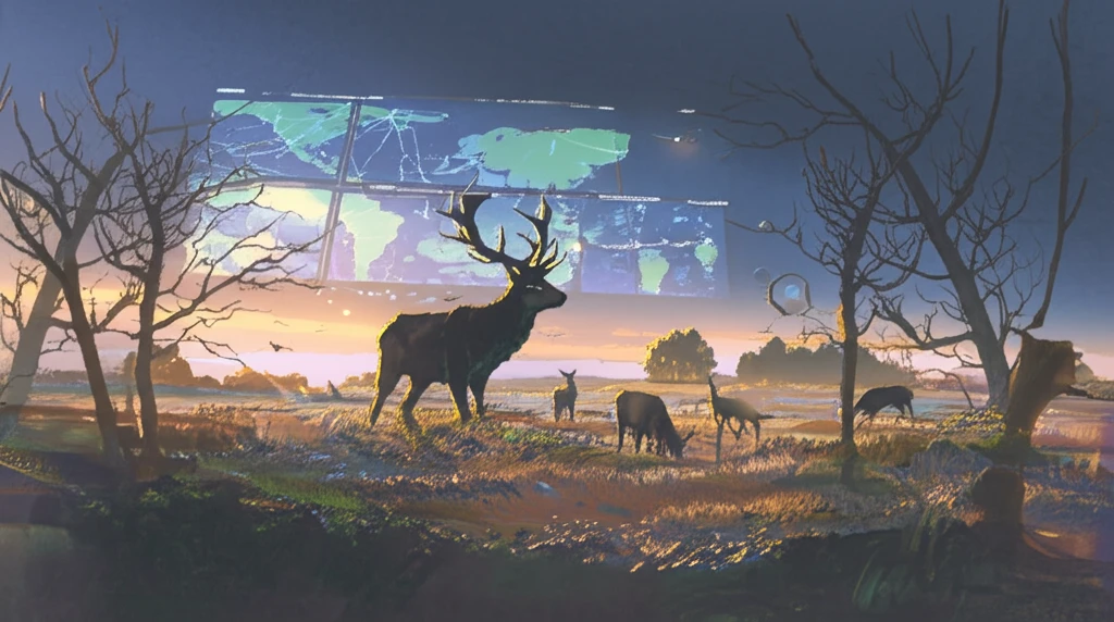
Enter the world of spatial analysis and Geographic Information Systems (GIS). Researchers are now using these powerful tools to understand how ungulates interact with their environment, and how human activities influence their behavior. By mapping ungulate populations, agricultural land, and other important factors, scientists can identify areas where conflicts are likely to occur and develop strategies to mitigate them. This article explores how these innovative techniques are paving the way for a more sustainable coexistence.
A Growing Crisis for Wildlife
Wildlife conservation is the practice of protecting wild species and their habitats to maintain healthy populations and restore natural ecosystems. The scale of the challenge is growing rapidly: in Canada alone, over 800 native species are now at risk of becoming endangered, a dramatic increase from just 17 species listed in 1978. Organizations like the Wildlife Conservation Society work worldwide through science, conservation action, and education to address these mounting threats. The trajectory of species decline underscores the urgency of finding new approaches to complement traditional conservation methods.
Community-Based Conservation and Its Reach
A widely accepted conservation method involves fostering symbiosis between wildlife and local communities, particularly where human populations live in close proximity to animals. The African Wildlife Foundation, for example, works with communities near wildlife to incentivize conservation outcomes. Institutions such as the Wildlife Conservation Society and zoos like the Bronx Zoo also play roles in public engagement, offering wildlife encounters to inspire conservation awareness. However, these traditional approaches—community engagement, zoos, and public education—face limitations in scale and effectiveness as threats to biodiversity intensify globally.
Conservation History and Legislative Milestones
The institutional history of wildlife conservation in the United States is documented through the U.S. Fish and Wildlife Service, which launched a journal in the 2000s highlighting the history of the USFWS and its partners. MarineBio Conservation Society outlines key legislative milestones in U.S. conservation history alongside chapters on invasive species and wildlife pollution, marking turning points in how nations approach environmental protection. These foundational efforts established the legal and organizational frameworks upon which modern conservation strategies are built. Understanding this history provides essential context for evaluating current and emerging approaches.
Mapping the Ungulate-Human Connection
One fascinating study focused on the Mugello region of northern Tuscany, Italy. This area is a hotspot for ungulate activity, with diverse landscapes ranging from urban areas to agricultural fields and dense forests. Researchers used Geographically Weighted Regression (GWR), a sophisticated statistical technique, to analyze the relationship between ungulate populations and various environmental and human-related factors.
- Distance from artificial areas (urban zones, roads)
- Distance from agricultural activities (farms, fields)
- Ecological corridors (forested areas that allow for wildlife movement)
- Relative richness of land use (diversity of land cover types)
Emerging Research in Wildlife Management
Recent research in wildlife conservation includes innovative population management techniques, such as Thailand's use of a contraceptive vaccine to limit wild elephant births. Scientists like Dale Miquelle, a Ph.D. wildlife ecologist, emphasize that restoring large carnivore populations and their habitats is a high conservation priority given massive global declines. Research on human-wildlife interaction also reveals that emotional states such as fear can distort people's stated preferences toward wildlife, potentially leading to sub-optimal conservation policies. These findings highlight both the technological innovation and the behavioral complexity that modern conservation science must navigate.
Questioning Conservation's Assumptions
Not all conservation strategies go unchallenged. Research published in Frontiers for Young Minds argues that the use of flagship species—charismatic animals chosen to rally public support—needs rethinking, as efforts may not benefit the broadest range of species. A growing number of critics also question whether zoos are truly achieving the conservation outcomes they claim, arguing that many have stepped far beyond their conservation mission. These critiques point to a fundamental tension: high-profile, emotionally appealing approaches may divert resources from more effective but less visible strategies.
Balancing Human and Environmental Goals
A core challenge in conservation is reconciling competing value systems. A study published in Oxford Academic's BioScience journal argues that the human-versus-nature dualism underpinning both instrumental and intrinsic value approaches is unhelpful, since wildlife conservation must balance both social and environmental goals. Practical conservation planning, such as comparisons between the Manti La Sal National Forest Plan and the Conservation Alternative, involves evaluating dozens of management topics including goals, objectives, and guidelines. This comparative framework illustrates that effective conservation requires nuanced trade-offs rather than adherence to a single ideological position.
Toward Coexistence: A Data-Driven Approach
This research demonstrates the power of using spatial analysis and GIS to address the complex challenges of wildlife management. By understanding the factors that influence ungulate behavior and distribution, we can develop targeted strategies to minimize conflicts with human activities and promote sustainable coexistence. This could involve creating buffer zones between agricultural areas and wildlife habitats, enhancing ecological corridors to facilitate animal movement, or implementing targeted hunting programs to manage ungulate populations. The key takeaway is that data-driven decision-making is essential for creating a future where both humans and wildlife can thrive.
Technology Reshaping Conservation Practice
Technology is increasingly central to how conservation strategies are designed and implemented. Drones, for instance, are being deployed for wildlife monitoring, with established workflows covering data collection, analysis, and the implementation of conservation strategies based on aerial insights. Expert commentary on the use of drones in conservation highlights their capacity to cover vast, inaccessible terrain and gather data at scales previously impossible. This technological shift represents a practical complement to traditional field methods, enabling faster and more informed decision-making.
AI, Markets, and Collective Action Ahead
The future of wildlife conservation techniques depends on collective action from governments, NGOs, communities, and individuals. Artificial intelligence is emerging as a transformative tool in conservation monitoring, with market analyses projecting significant growth in AI-driven wildlife monitoring from 2026 onward. The wildlife tourism market is also expanding, driven by increasing demand for authentic and sustainable travel experiences tied to environmental awareness. Together, these trends suggest that technology, economic incentives, and public engagement will increasingly intersect in conservation efforts.
Technology, Peace, and Policy Trade-Offs
Advanced camera systems and AI are being deployed to detect and deter poachers, with conservationists noting that faster image analysis from camera trap data leads to quicker and more effective conservation impact. Beyond technology, conservation intersects with broader societal goals: the Vision of Humanity organization frames ecological conservation as a pathway to building positive peace in communities. Meanwhile, debates such as trophy hunting in South Africa's Greater Kruger region reveal deep disagreements, with some arguing that integrated approaches incorporating hunting are necessary to secure biodiversity and ecosystem functions. These systemic challenges illustrate that conservation solutions must operate across technological, social, and political dimensions simultaneously.
Conservation That Works—Through People
Wildlife conservation efforts to protect endangered species and restore habitats are described as among the most important steps humans can take to positively impact the natural world. Research on wildlife tourism identifies distinct tourist groups—true wildlife enthusiasts, researchers, generalists, and tag-along visitors—each requiring tailored programs that prioritize mindfulness and conservation. Volunteer and exchange platforms also connect people directly with animal conservation projects around the world, creating hands-on engagement. The evidence suggests that when humans are meaningfully involved, conservation outcomes improve.