Unveiling the Secrets of Our World: How Scientists Use Satellite Data to Understand Climate Change
"From Rainfall Patterns to Global Warming: Discover How Cutting-Edge Research is Transforming Our Understanding of Earth's Climate."
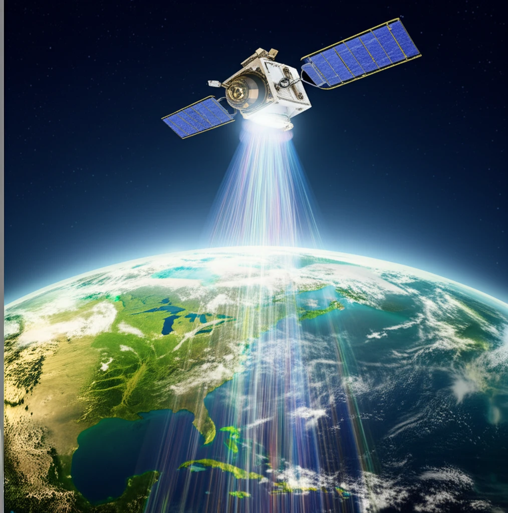
In an era defined by rapid environmental shifts, understanding the intricacies of our climate is more critical than ever. Scientists are turning to innovative technologies to gather comprehensive data, and one of the most transformative tools in their arsenal is satellite imagery. These orbiting sentinels provide a unique vantage point, offering a global perspective that is essential for studying climate change and its far-reaching effects.
This article explores the groundbreaking ways in which satellite data is being utilized to analyze crucial environmental factors. We'll examine how researchers are using this data to monitor rainfall patterns, measure radiation levels, and assess the overall health of our planet. By delving into these methods, we gain a clearer understanding of the challenges we face and the potential solutions that lie ahead.
The research presented in this article, originally published in the journal 'Eng. Agric., Jaboticabal,' provides a comprehensive view of how satellite data is used to analyze net radiation, which is a critical factor in understanding climate patterns. We'll break down the science behind these measurements and explore the implications for understanding and mitigating the effects of climate change.
Decoding Earth's Signals: How Satellites Capture Climate Data
Satellites are equipped with a variety of sophisticated instruments that collect different types of environmental data. These instruments measure everything from temperature and radiation levels to the presence of different gases in the atmosphere. Data collected by MODIS (Moderate Resolution Imaging Spectroradiometer) sensors, for example, can be used to measure the net radiation, which is the balance between incoming and outgoing energy at the Earth's surface. This is essential for understanding the planet's energy budget and how it is changing.
- Measuring Radiation: Satellites measure the amount of solar radiation absorbed by the Earth's surface and the amount of energy emitted back into space.
- Analyzing Rainfall: Satellite-based radar and radiometers can detect rainfall patterns, providing valuable insights into regional and global water cycles.
- Monitoring Vegetation: Sensors can assess the health and distribution of vegetation, which is crucial for understanding how ecosystems respond to climate change.
- Tracking Temperatures: Satellites measure both sea surface temperatures and land surface temperatures, revealing changes in climate patterns.
Looking Ahead: The Future of Climate Science and Satellite Data
The insights gained from satellite data are becoming increasingly vital as we strive to understand and address climate change. As technology advances, satellites will continue to provide even more detailed and accurate information about our planet's climate. This data will empower scientists, policymakers, and individuals to make informed decisions, develop sustainable solutions, and work toward a healthier planet for generations to come.