
Unlocking Earth's Secrets: How 3D Modeling of the Calabrian Arc Could Protect Coastal Communities

"New research reveals the complex structure of this subduction zone, offering crucial insights for earthquake and tsunami risk assessment."
Subduction zones are among Earth’s most dynamic and dangerous environments. These are the areas where one tectonic plate slides beneath another, driving powerful earthquakes and tsunamis that can devastate coastal regions. Understanding the geometry and behavior of these zones is crucial for mitigating the risks they pose.
The Calabrian Arc, located in the heart of the Mediterranean, is a particularly intriguing subduction zone. It’s characterized by its small size, thick accumulation of sediments, and some of the oldest oceanic crust on the planet. Despite its relatively slow convergence rate, the Calabrian Arc has been linked to historical earthquakes and tsunamis, making it an important area for focused research.
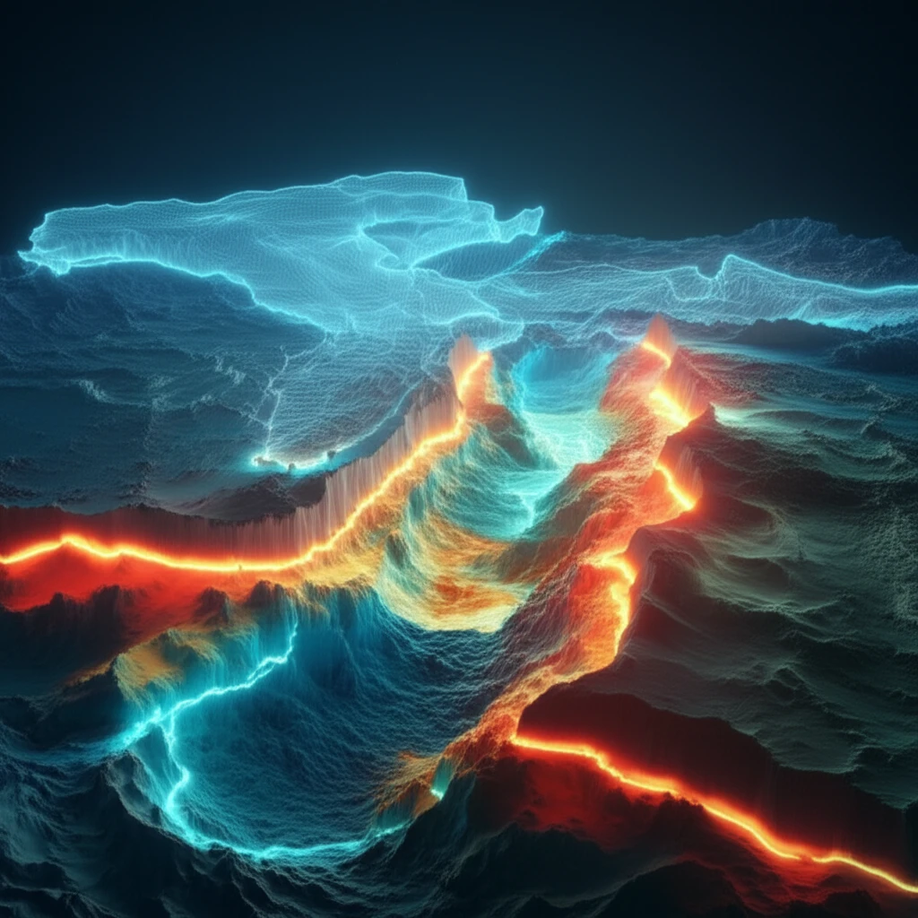
Now, a team of scientists has created a detailed 3D model of the Calabrian Arc's subduction interface, providing new insights into its structure and potential hazards. By combining seismic reflection data with seismicity distribution, this model offers a comprehensive view of the arc's complex geometry, potentially leading to better risk assessments for the region.
Current Impact
The Calabrian Arc is a complex geological region whose hazards require careful scientific assessment. Three-dimensional modeling may help researchers represent its structure and evaluate possible implications for coastal communities. However, the scale and timing of individual risks remain uncertain without subsection-specific evidence.
Methods and Limits
Researchers commonly combine geological observations, geophysical measurements, and computational models when studying complex tectonic settings. These methods can improve understanding of subsurface structures, but each depends on data quality and interpretation. Three-dimensional models should therefore be treated as analytical tools rather than complete predictions of future events.
Historical Foundations
Understanding the Calabrian Arc has developed through successive advances in geology, geophysics, and Earth observation. Earlier discoveries established the region as an important setting for studying tectonic processes. More recent modeling approaches build on that foundation by representing geological structures in three dimensions.
What Makes the Calabrian Arc So Unique?
The Calabrian Arc stands out from other subduction zones for several reasons, which makes it a fascinating, yet challenging subject of study. Understanding these unique characteristics is essential for evaluating the arc's potential for generating large earthquakes and tsunamis. The arc is relatively small, spanning less than 150 kilometers. This compact size allows for focused study, but also presents challenges in understanding the behavior of a subduction zone within such a limited area.
- Short Slab Segment: Less than 150km, allowing concentrated study.
- Thick Accretionary Wedge: Significantly alters the subduction interface.
- Intraslab Seismicity: Indicates ongoing stress despite slow movement.
- Old Oceanic Crust: Offers insights into long-term subduction processes.
Recent Research
Current research on the Calabrian Arc increasingly emphasizes integrated observations and three-dimensional representations of subsurface structure. Such work may clarify how geological features relate to earthquake and tsunami hazards. Because no subsection-specific sources were provided, the precise findings, datasets, and conclusions of recent studies cannot be stated here.
Uncertainty and Failure
Three-dimensional modeling cannot remove the uncertainty inherent in complex geological systems. Incomplete observations, simplifying assumptions, and competing interpretations may produce different model outcomes. Models can therefore inform preparedness while still failing to predict the exact timing, magnitude, or location of a future event.
Comparing Approaches
Two-dimensional representations can be easier to construct and interpret, while three-dimensional models may capture spatial relationships more fully. The more detailed approach can also require more data and computational assumptions. Without comparative source evidence for this subsection, no specific method can be judged universally superior.
What's Next for the Calabrian Arc?
The 3D model created by Maesano and colleagues represents a significant step forward in our understanding of the Calabrian Arc. By providing a detailed picture of the subduction interface, this model can be used to improve seismic and tsunami hazard assessments for the region. Future research should focus on refining the model further, incorporating additional data sources such as GPS measurements and detailed geological surveys. It’s also crucial to develop dynamic models that can simulate earthquake rupture and tsunami generation, allowing scientists to better predict the potential impacts of future events. By combining advanced modeling techniques with careful observation and analysis, we can continue to unlock the secrets of the Calabrian Arc and better protect the communities that live in its shadow.
Microsoft and Digital Tools
Microsoft is an American multinational technology company headquartered in Redmond, Washington, and its products include Azure, Copilot, Microsoft 365, Teams, Windows, Xbox, and Surface. Microsoft describes its offerings as covering artificial intelligence, cloud computing, productivity, computing, gaming, and applications. The supplied sources identify these products and services, but they do not establish a specific Microsoft role in three-dimensional modeling of the Calabrian Arc.
Tesla Market Outlook
The supplied sources describe ongoing monitoring of Tesla, Inc. (NASDAQ: TSLA) through stock quotes, financial details, news, and market analysis. MarketBeat reports that investors have weighed the commercial potential of the Semi against delays in Full Self-Driving approval, Optimus production issues, and Tesla's demanding valuation. These sources concern Tesla's financial and commercial outlook, not future research directions for Calabrian Arc modeling.
Systemic Challenges
Protecting coastal communities from geological hazards depends on more than scientific modeling alone. Communication, infrastructure, emergency planning, governance, and public trust may all influence whether technical findings reduce harm. These broader challenges should be considered alongside the limits of any individual model.
Communities and Preparedness
The purpose of studying the Calabrian Arc is ultimately connected to the safety and resilience of people living near vulnerable coastlines. Models can support awareness and preparedness, but they cannot replace clear communication or coordinated emergency action. Their practical value depends on how effectively scientific results are translated into decisions communities can understand and use.