
Unearthing the Past: How Geoprospecting is Rewriting Roman History at Aquinum

"Dive into the cutting-edge techniques archaeologists are using to uncover the secrets of the ancient Roman city of Aquinum, revealing its hidden stories beneath the surface."
Archaeological digs have always been a blend of careful excavation and educated guesswork. But what if we could 'see' beneath the surface without disturbing the precious layers of history? That's the promise of geoprospecting, a suite of technologies that are changing the way we explore the past. Among these, Ground Penetrating Radar (GPR) stands out as a particularly powerful tool, allowing archaeologists to map buried structures and features in incredible detail.
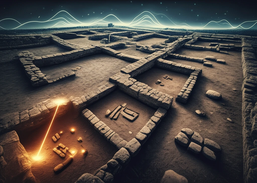
One site where GPR is making a significant impact is Aquinum, an ancient Roman city located in central Italy. For years, archaeologists have been painstakingly uncovering Aquinum's secrets, but GPR technology is now helping them to accelerate the process, revealing hidden structures and guiding future excavations with unprecedented accuracy.
Imagine being able to walk across a field and, with the aid of a radar scan, visualize the layout of a Roman bathhouse or the foundations of a forgotten temple. This is not science fiction; it's the reality of modern archaeological research, and it's transforming our understanding of the Roman world.
The Aquinum GPR and Magnetic Survey
A geoprospecting survey at Aquinum (Lazio, Central Italy), reported by Lazzari and colleagues, combined ground-penetrating radar (GPR) with magnetic measurements to image sectors of the ancient Roman city. The magnetic data were processed with a Butterworth high-pass filter, first vertical derivatives, the analytical signal, and the tilt derivative in order to separate shallower anomalies representing archaeological remains from deeper ones. GPR data were collected along a dense network of parallel profiles and integrated with the results of archaeological excavations and with topographical surveys of the preserved remains. The study is published in the journal Surveys in Geophysics, with copies also indexed on CoLab, ResearchGate, and Academia.edu.
Electromagnetic Methods and Their Limits
A standard geoprospecting approach relies on electromagnetic methods, in which the conductivity of rock is determined from its effect on electromagnetic waves, and from that conductivity the type of rock (or oil or water) and the nature of the geological formation can be deduced. A fundamental limitation, noted in the University of Illinois IDEALS repository, is that electromagnetic inverse problems of this kind are ill-posed. Methodological work continues to broaden the toolkit, including a University of Brighton publication titled New methods for investigating slag heaps: integrating geoprospection, which applies these techniques to industrial archaeology sites. Together these sources show that the accepted approach is powerful but technically demanding, and increasingly integrative.
Rewriting Histories Through Discovery
Foundational discoveries continue to shift historical perspective, as with an archaeological analysis involving nearly 400 samples from Wetwang Slack in the East Riding of Yorkshire, which is described as Britain's most extensive known Iron Age cemetery and saw its peak activity from the fourth to the second centuries BC; the work reportedly places women front and centre of the picture of Roman Britain. Historical documentation is itself subject to change: the U.S. State Department has retired its Milestones in the History of U.S. Foreign Relations series, covering periods such as 1866-1898, and no longer maintains it. The cases together illustrate that both archaeological knowledge and institutional milestone records are living, revisable bodies of work.
GPR: A Window into the Ancient World
Ground Penetrating Radar works by sending radio waves into the ground and analyzing the signals that bounce back. Different materials and structures reflect these waves in unique ways, allowing archaeologists to create detailed subsurface maps. It’s like giving the earth an ultrasound, revealing what lies hidden beneath the surface without the need for extensive digging. The surveys conducted in the Roman archaeological site of Aquinum used a RIS-HI mode GPR system equipped with a double antenna with central frequencies at 200 and 600 MHz.
- Non-destructive: It allows researchers to investigate sites without disturbing them.
- Efficient: Large areas can be surveyed relatively quickly.
- Detailed: High-resolution data can reveal subtle features that would be missed by traditional methods.
- Cost-effective: GPR can reduce the need for extensive excavation, saving time and resources.
A Commonplace Archaeological Tool
According to the University of Bradford's research impact archive, geoprospecting, defined as the science of finding features and sites hidden beneath the earth's surface, has become a commonplace archaeological tool. The university notes that the method has become familiar to the public through television programmes such as Time Team. Its archive includes a case study titled Geoprospecting our historic landscapes, documenting how the technique has moved from specialist practice into everyday archaeological investigation.
Criticism and Uneven Sources
No technical field escapes public criticism, and geoprospecting's claims are no exception. One commentary site, LowTierFailure, describes itself as providing factual commentary and public criticism, and shows how failure can be judged against self-imposed criteria: it runs a public countdown to August 30, 2026, after which a named streamer would be deemed a failure by his own words if still streaming. By contrast, the domain geoprospecting.com offers essentially no publicly verifiable content, a reminder that not every resource bearing the field's name can be treated as authoritative. Readers of geoprospecting research should therefore weigh sources carefully.
Structured Side-by-Side Comparison
General-purpose platforms illustrate how structured comparison can be presented: Versus offers comparisons across more than 100 categories with detailed specifications, filters, and clear data visualizations, while the related tool at versusutil.com lets a user enter a product or service and find relevant alternatives to compare. These sources are consumer-oriented rather than archaeology-specific, so rigorous comparisons of survey techniques such as GPR, magnetometry, and resistivity must still be assembled from the specialist literature. Even so, the same principles of transparent criteria and side-by-side data apply to evaluating geoprospecting methods.
Aquinum: A City Re-emerging
The use of GPR at Aquinum is not just about uncovering the past; it's also about preserving it for the future. By providing detailed maps of buried structures, GPR helps archaeologists make informed decisions about where to excavate, minimizing damage to the site and maximizing the potential for new discoveries. As technology advances, we can expect even more sophisticated methods of geoprospecting to emerge, further transforming our understanding of the ancient world. The story of Aquinum is a testament to the power of these technologies and the exciting possibilities they hold for future archaeological research.
Expert Advocacy Beyond Discovery
Expertise in subsurface investigation is increasingly being commercialized. Heritage GeoProspecting, for example, offers a Subsurface Development Partnership through which it acts as a dedicated representative and expert advocate through the entire journey of mineral development, moving beyond initial discovery to the critical phases of valuation and negotiation. Such offerings suggest that geoprospecting skills honed in academic survey work, including projects like the one at Aquinum, now extend into commercial subsurface development and resource negotiation.
River Valley Archives and Growing Services
A next frontier for subsurface research lies in the geoarchaeological records of temperate European river valleys. In the Low Countries, numerous archaeological excavations have shown that river dunes, wind-blown deposits from and next to the Lateglacial braided river system, were important foci of settlement during the Upper Palaeolithic and Mesolithic (Mol, 2003; Weerts et al., 2012; Bos et al., 2013). At the same time, a commercial services ecosystem is maturing around the field, as providers such as Heritage GeoProspecting maintain public storefronts through which clients can contact them about services. Both strands point to broader application of survey methods beyond classical Roman sites like Aquinum.
Heritage Amid Urban Redevelopment
Weaving archaeology into urban development is a defining challenge across the Mediterranean. In Athens, the redevelopment of Vasilissis Olgas is part of a wider effort to connect major archaeological sites in the historic centre, and the Greek government has described the project as one aspect of a broader archaeological and cultural zone extending through the historic centre, as reported by GreekReporter in August 2026. The effort illustrates how governments increasingly try to embed buried heritage within, rather than aside from, modern city infrastructure.
People, Memory, and Stewardship
Beneath the technical detail of radar profiles and magnetic filters, geoprospecting is ultimately about people, from the communities whose ancestors built sites such as Aquinum to the researchers and local officials who work to preserve them. Non-invasive survey methods hold the promise of documenting buried heritage without the disruption of large-scale excavation, which can ease the tension between preservation and urban growth. As techniques improve and applications widen, the human stakes of cultural identity, memory, and stewardship remain the most compelling reason to keep looking beneath the surface.