Unearthing the Past: How Deposit Modeling Revolutionizes Archaeological Projects
"Discover how archaeologists are using cutting-edge techniques to model sediment layers, revealing hidden histories beneath our feet and paving the way for efficient, informative excavations."
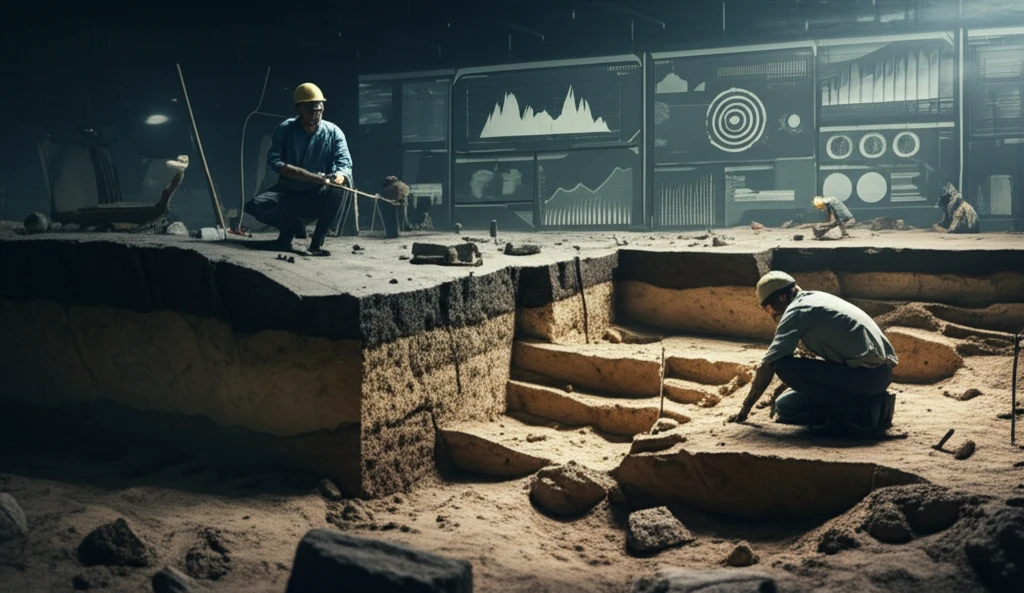
For archaeologists and geoarchaeologists alike, the term “deposit modeling” evokes a sense of familiarity, yet what it truly entails within an archaeological project, the techniques it employs, and the necessary data often remain underexplored. This is a paradox, considering that archaeological remains—sites, features, and artifacts—are predominantly embedded within sedimentary deposits, products of both human activity and natural processes. These deposits accumulate across varying timescales and diverse terrains, including wind-blown (aeolian), slope-derived (colluvial), and water-laid (alluvial) environments, often culminating in intricate, deeply layered sequences.
To effectively understand the spatial distribution and preservation potential of archaeological remains, a comprehensive knowledge of the three-dimensional (3D) geoarchaeological sediment architecture is essential. Such understanding is best achieved through deposit modeling.
Deposit modeling, a frequently employed methodological approach by geoarchaeologists, has been adapted for archaeological applications from the fundamental principles of stratigraphic analysis developed in the geological sciences. Deposit modeling can inform the interpretation of excavated deposits and from the outset provides a framework for site investigation strategies, particularly in environments that have deep vertical or laterally accreted sediments (>1 m) of Holocene and Pleistocene age.
What is Deposit Modeling?
Deposit modeling isn't exactly new; it builds upon established geological science techniques. It's used to understand archaeological records within different land environments like peatlands, river valleys, and urban areas. Marine archaeologists also use it to study submerged landscapes. Whether on land or sea, the goal is to describe the subsurface sediment layers to understand landscape evolution and find archaeological sites.
- Complexity: Models vary from simple identification of areas with different sediment types to complex models using boreholes and remote sensing.
- Applications: Useful for identifying patterns of sedimentation, landform evolution, and buried surfaces where archaeological finds are likely.
- Integration: Grounded in understanding stratigraphy, but its full potential in commercial and research settings is yet to be realized.
- Perspective: Terrestrial models are often seen as additions rather than fundamental frameworks for archaeological projects.
Looking Ahead
Deposit modeling is undoubtedly a valuable part of the archaeological process and an essential tool for archaeologists. For any archaeological project investigating complex sedimentary environments, a deposit model is an essential first step. It allows resources to be focused on areas with the highest archaeological potential and provides a wider landscape narrative for post-excavation stages. It also furnishes the context and framework for the entire archaeological process. Consequently, a deposit model should be one of the first considerations in any archaeological project.