Unearthing Earth's Secrets: A Journey Through India's Ancient Rock Formations
"Delve into the tectonic history of the Kadiri Schist Belt and surrounding granitoids in Andhra Pradesh, India, revealing insights into our planet's evolution."
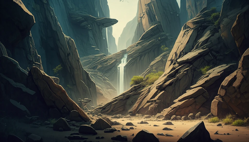
The Earth’s story is etched in stone, a chronicle of immense forces and transformations. In eastern Dharwar craton lies the Kadiri greenstone terrane, a relatively unexplored chapter in this ongoing geological narrative. This region holds clues to understanding the petrotectonic associations within the Kadiri greenstone granite terrain, offering insight into the tectonic setting and the evolution of this ancient landscape.
Reconstructing the geologic history of Archean granite-greenstone terranes requires careful consideration of physical and chemical factors. The geological and geochemical features of this area provide invaluable clues to describe the genesis and evolution. Greenstone belt development is closely linked to the origin of Archean high-grade granitic terranes, reflecting the interplay between Earth's thermal history and crustal evolution. This includes consideration of rock types such as granitoids, greenstone belt rocks, and dykes.
Studies of meta-volcanics within the schist belt suggest an island arc and active continental marginal environment. The calc-alkaline rock associations, including basalt, andesite, dacite, and rhyolite (BADR), are characteristic of convergent margins. The low-grade green-schist facies metamorphism and structural deformations further highlight the complex geological processes at play.
Unlocking the Tectonic Puzzle of Kadiri
The Kadiri Greenstone Belt, a narrow linear feature southwest of the Cuddapah Basin in the Eastern Dharwar Craton, spans parts of the Anantapur and Chittoor districts. Located between 13°45' to 14°7'N Latitude and 78°2' to 78°15'E Longitude, this region, documented in the Survey of India Toposheet Nos. 57J/3, 57J/4, 57K/1, and 57K/2, offers a window into the Earth's dynamic past.
- Understanding the rock composition helps to reconstruct its past.
- The relationship of the rock in the belt is not well understood.
- Granite-gneiss complexes comprise the dominant portion in this granite-greenstone terrane.
- The foliation in the gneissic complexes is N-S.
Piecing Together Earth's Ancient Jigsaw
By examining the rock types, structural features, and geochemical signatures of the Kadiri Schist Belt and surrounding granitoids, we gain a clearer understanding of the tectonic history of this region. This helps in understanding not only the geological evolution of this specific area but also offers insights into broader processes that shaped the Earth's crust during the Archean eon. By understanding this ancient terrain, we are better equipped to piece together the complex jigsaw of our planet’s past.