
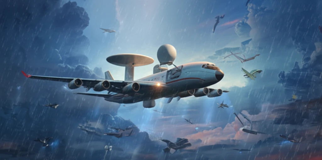
Sky-High Science: How Airborne Radar is Revolutionizing Weather Research

"Discover how the University of Wyoming's new airborne Ka-band radar is transforming atmospheric research and providing unprecedented insights into cloud behavior and precipitation patterns."
Weather impacts all of our lives, from daily wardrobe choices to large-scale agricultural planning. Scientists are constantly seeking new and improved ways to understand and predict weather patterns. Recent advancements in radar technology, especially compact airborne systems, are providing unprecedented insights into atmospheric processes.
The University of Wyoming (UW) has recently enhanced its atmospheric research capabilities with the acquisition of a compact, Ka-band precipitation radar (KPR). This state-of-the-art radar system, developed in collaboration with ProSensing Inc., is designed to operate from a standard Particle Measurement Systems (PMS) canister, making it highly versatile and adaptable for airborne research missions.
Mounted on the wing of the UW King Air research aircraft (UWKA), the KPR works in tandem with other advanced instruments, including a cloud radar, cloud lidar, and in-situ instruments. This integrated approach allows for more accurate and comprehensive data collection, improving our ability to analyze cloud and precipitation properties. Let's dive into how this new technology works and what it reveals about our atmosphere.
Defining the Airborne Weather Radar
A weather radar, also called a weather surveillance radar (WSR) and Doppler weather radar, is a type of radar used to locate precipitation, calculate its motion, and estimate its type such as rain, snow, or hail. Radar more broadly is an electromagnetic sensor used for detecting, locating, tracking, and recognizing objects of various kinds at considerable distance. When these sensors are carried aloft on aircraft, they bring that observing power directly into and around the storms themselves.
How Airborne Radar Sees Through Storms
Radar operates by transmitting electromagnetic energy toward objects and analyzing the energy that is reflected back, a method that works the same from the ground or from an aircraft. In airborne applications, there are usually insufficient independent and identically distributed training data because of geometric considerations and terrain variations, which complicates signal processing. The rank reduction technique is one of the most effective approaches to coping with this limitation.
From Early Sensors to Sky-Borne Science
Radar was developed as an electromagnetic sensor for detecting, locating, tracking, and recognizing objects at considerable distance, and its history, invention, and evolution into various types and applications are documented across the radar field. Early airborne radar studies analyzed how the technology contributes to overall mission accomplishment, developing parametric relationships for performance. These foundations set the stage for moving weather observation from fixed ground sites into the mobile, storm-chasing realm of aircraft.
Ka-Band Radar: A Technical Overview
The Ka-band radar operates at a frequency of 35.64 GHz, corresponding to a wavelength of approximately 8.4 mm. This frequency range offers a sweet spot for observing both cloud structures and precipitation, providing detailed information on particle size and distribution. Key components of the radar system include:
- A 10W solid-state power amplifier: This amplifier boosts the transmitted signal, ensuring sufficient power to penetrate clouds and detect precipitation.
- Flat plate slotted waveguide array antennas: These antennas, each 14 cm in diameter, are arranged to provide interleaved profiling above and below the aircraft, capturing a comprehensive view of the atmospheric column.
- A dual-channel digital receiver: Installed in an industrial-grade PC, the receiver processes the incoming radar signals, converting them into data that scientists can analyze.
- Real-time data processing: Software on the PC controls the radar, acquires data, and displays information in real-time, enabling researchers to make informed decisions during flight.
NCAR's Next-Generation Radar
The National Center for Atmospheric Research (NCAR) has designed a next-generation airborne radar that could revolutionize our ability to observe, understand, and ultimately predict high-impact weather events. The radar is described as having an unmatched ability to peer deep inside storms. Research published in the journal Atmospheric Research continues to explore such airborne sensing capabilities.
Where Airborne Radar Hits Its Limits
Scientists cannot perform radar interferometry over the ocean because churning waves create too much noise in the data, making it impossible to analyze changes from one pass to the next. In addition, airborne radar systems often suffer from insufficient independent and identically distributed training data caused by geometric considerations and terrain variations. These constraints show that even powerful airborne sensors cannot overcome every environmental obstacle.
Ground Radar Versus Radar in the Air
All radar systems share the same underlying principle: transmitting electromagnetic energy toward objects and interpreting the returned energy to detect and locate them. Airborne radar adds mobility and proximity, allowing instruments to fly inside weather systems rather than observing them from a fixed ground site. Analyses of airborne radar's contributions to overall mission accomplishment, developed through parametric relationships, highlight how the airborne platform extends the usefulness of the core radar method.
The Future of Atmospheric Observation
The integration of the Ka-band radar with other instruments marks a significant step forward in atmospheric research. By providing detailed, high-resolution data on cloud and precipitation processes, the KPR enhances our understanding of weather phenomena and improves our ability to predict future weather patterns. As technology continues to advance, we can expect even more sophisticated tools to emerge, further transforming our ability to study and understand the complex dynamics of our atmosphere.
A New Window Into High-Impact Weather
A next-generation airborne radar designed by NCAR has been recognized as capable of revolutionizing our ability to observe, understand, and ultimately predict high-impact weather events. Its unmatched ability to peer deep inside storms represents a step change over earlier airborne sensors. Experts view this capability as central to improving forecasts of the weather events that matter most to communities.
Peering Deeper Into the Storm
The next-generation NCAR radar is expected to give researchers unmatched ability to peer deep inside storms, opening up observations that were previously impossible from the ground. This points toward future airborne systems that can resolve storm structure in even greater detail. Real-time weather tracking platforms continue to push how this data is delivered and visualized.
Data, Terrain, and the Noise in Between
Airborne radar faces systemic challenges, including insufficient independent and identically distributed training data that stem from geometric considerations and terrain variations. Over the ocean, churning waves create too much noise for radar interferometry, blocking change analysis between passes. Overcoming these constraints will require continued advances in signal-processing techniques such as rank reduction.
Better Forecasts, Safer Communities
By offering unmatched ability to peer deep inside storms, next-generation airborne radar promises to improve how scientists observe, understand, and ultimately predict high-impact weather events. Radar has long served as an electromagnetic sensor for detecting, locating, tracking, and recognizing objects at considerable distance, a role that airborne platforms now extend into severe weather. The practical payoff is more accurate, earlier warnings for the people in harm's way.