
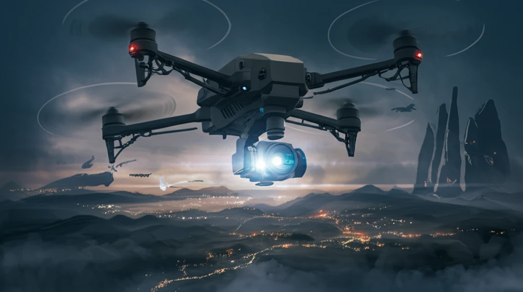
Sky High Precision: Unveiling the Secrets of Airborne Camera Stability

"Discover how advanced image motion modeling is revolutionizing aerial photography, ensuring crystal-clear imagery from above."
Aerial photogrammetry has transformed how we gather ground information, using everything from traditional airplanes to unmanned aerial vehicles (UAVs). This method relies on capturing photographic images from above, but the quest for higher accuracy has led to innovative camera technologies. Among these, the three-line-array (TLA) push-broom camera stands out for its ability to deliver three-dimensional data directly from a single pass.
Unlike traditional frame cameras that capture an entire image at once, line scan cameras, including TLA systems, build an image line by line. This approach offers unique advantages, such as higher resolution, lower costs, and more flexible image sizing along the flight path. TLA cameras, equipped with three linear CCD sensors, capture stereoscopic views simultaneously, enabling the direct recovery of exterior orientation parameters, a critical component for precise mapping.
The concept of TLA cameras, pioneered in the 1980s, has seen significant advancements. From early space shuttle missions to current airborne systems, TLA technology has evolved to meet the demands of modern photogrammetry. Systems like the Digital Photogrammetry Assembly (DPA) and the Leica ADS40 have set new standards in the field, integrating GPS and inertial measurement units (IMU) to estimate aircraft trajectory and attitude. These advancements are essential for overcoming challenges posed by atmospheric turbulence and ensuring the consistent, high-quality imagery required for accurate surveying and mapping.
Digital Sensors Redefine Aerial Imaging
Digital airborne cameras are now penetrating the markets of photogrammetry and remote sensing, and their direct digital processing chain eliminates chemical film development and digitisation in photogrammetric film scanners. Researchers have likewise developed methodologies for determining the radiometric stability of airborne imaging sensors in operational test fields, including evaluations of the large-format DMC frame sensor from Intergraph. Supporting hardware, such as gyro mounts from SOMAG AG Jena, stabilizes aerial lidar and camera systems in flight. Routine airborne camera calibration relies on ground sites with easily identifiable features, where a higher number of tie points yields a more accurate and reliable solution.
Gimbals, Alignment and the Limits of Anti-Shake
Payload stabilization for airborne cameras is commonly achieved through gimbaled mounts, and patents describe methods and apparatuses specifically for stabilizing airborne camera payloads. Practical guidance emphasizes that properly selecting the anti-shake method, operating the drone correctly, and optimizing shooting parameters are all crucial for taking stable aerial images before post-processing. A related constraint is alignment tolerance: for EO/IR airborne cameras sharing a common optic, alignment tolerance is an important factor in stabilization accuracy and geo-pointing accuracy, so it must be tested before the camera is mounted on the aircraft. Together these steps address the fundamental limitation that vibration and misalignment degrade image quality in ways post-processing alone cannot fully repair.
From Aerial History to Modern Pods
Aerial imaging has a long documented history, with classic works such as the archive publication "Airborne Camera: The World from the Air and Outer Space" tracing that lineage. That tradition continues in modern oblique systems such as the 3DM Version II, an upgraded generation of an affordable multi-camera oblique design used for 3D modelling. Contemporary airborne payloads also converge visible and thermal sensing, as in a 3-axis electro-optical pod pairing a 30x zoom camera with a 35 mm uncooled long-wave infrared module and high-precision visual-axis stabilization. These products show how early aerial photography techniques have evolved into stabilized, multi-sensor platforms.
Modeling Image Motion: Tackling the Turbulence
One of the biggest hurdles in airborne photogrammetry is dealing with image motion. It's all about what causes the displacement of image points on the camera's sensors due to relative movement between the camera and the ground during the exposure. There are two key culprits: the aircraft's own velocity and any instability in its attitude (pitch, roll, and yaw). Accurately modeling and compensating for this image motion is crucial for achieving high-precision results.
- Aircraft velocity creates space-invariant image motion.
- Aircraft attitude instability introduces more complex distortions.
- Pitch primarily affects along-track image motion.
- Roll and yaw significantly impact cross-track image motion.
Maturing Research on Digital Camera Systems
Recent research tracks both the status and the future of digital airborne cameras, with Michael Cramer's work examining these systems as they penetrate photogrammetry and remote sensing. An airborne camera optimization model was published as a peer-reviewed article in Systems Engineering and Electronics, proposing a systematic framework for camera design and application. A Springer volume, "Digital Airborne Camera: Introduction and Technology," describes every component of a digital airborne camera, from the object being imaged to the mass memory device on board. Together these sources indicate a maturing research field focused on systematic camera modeling and end-to-end system description.
Contested Technologies and Control Failures
Not every airborne camera approach succeeds, and the counterpoint comes from systems that never gained lasting traction. A photothermoplastic film-based slit camera, for example, was used for airborne monitoring of the Black Sea surface from 9,000 meters altitude, demonstrating an alternative imaging medium that has since been superseded by digital sensors, which are now penetrating photogrammetry and remote sensing. Meanwhile, research continues on the control failures that afflict stabilized platforms, with a proposed image-based pointing-tracking feedback scheme for an inertially stabilized double-gimbal airborne camera combined with a computer vision system. These examples show that both alternative technologies and stabilization control remain active failure and improvement fronts.
Stabilization Compared Across Platforms
Stabilization strategies differ meaningfully across camera systems, and side-by-side tests make those differences visible. A GoPro stabilization comparison contrasts in-camera HyperSmooth, gimbal solutions, and ReelSteady software stabilization, each with its own pros, cons, and output quality suitable for upscaling and color grading. In video cameras, lens-based image stabilization and in-body image stabilization can be directly compared, as demonstrated with a Panasonic S1 tested in multiple lens configurations including with 2x teleconverters. Direct product matchups also matter: the GoPro Fusion versus Rylo 360 comparison found the Rylo had far superior stabilization until a Fusion update closed the gap, while smartphone makers market features such as Samsung's Super Steady Horizontal Lock on the Galaxy S26 Ultra.
The Future of Aerial Imagery
The ongoing development of image motion models is essential for pushing the boundaries of aerial photogrammetry. By understanding and compensating for the various factors that contribute to image distortion, we can unlock new levels of precision in mapping, surveying, and other applications. As technology advances, expect to see even more sophisticated techniques emerge, further enhancing the capabilities of airborne imaging systems.
Balancing Mechanics, Optics and Evaluation
Expert practice shows that airborne camera stability is a systems problem spanning mechanics, optics, and evaluation. Raptor Scientific describes how statically balancing a gimbaled camera, placing its center of gravity at the intersection of the gimbal axes, eliminates most of the jitter and allows it to track slow-moving targets smoothly. Optical designers extend that goal to image quality, as in a wide-coverage airborne camera whose relay lens array performs field-of-view subdivision, aberration correction, and relay imaging across a 132° field of view at f/3.4 with a 60 mm focal length. Commentators also call for standardized evaluation of image quality, noting that new digital airborne photogrammetric sensors reached the market and production use faster than originally expected.
Fleets, Film Phase-Out and Broadcast Upgrades
The near future of airborne cameras points toward denser, more capable fleets and the retirement of legacy imaging technology. VentureBeat forecasts that flocks of airborne camera drones will change both journalism and spying. In government, the Nevada Department of Transportation upgraded its mapping capabilities by investing in a Leica DMC IIe 230 digital airborne camera to replace its film camera system. In broadcast, FLIR planned to unveil a new version of its digital Ultra Media aerial-broadcast camera system for television news helicopters at April's US National Association of Broadcasters meeting in Las Vegas.
Surveillance at City Scale
Airborne cameras raise systemic questions about surveillance as well as engineering. Ars Technica reports on always-recording plane-mounted cameras that can watch roughly 25 square miles of territory, providing a TiVo-style time machine that records the movements of every person and vehicle below. This scale of persistent observation is enabled by the same stabilization and tracking technology that serves civilian applications. Research on control design for image tracking with an inertially stabilized double-gimbal airborne camera platform, for instance, describes a pointing-and-tracking feedback algorithm enhanced by a computer vision system to keep the optical axis locked on targets.
From AI Filmmaking to Emergency Mapping
Airborne camera technology carries human consequences, from creative work to emergency response. Camera-movement AI tools now translate aerial-style motion into ready-made prompts for filmmakers working in Kling, Seedance, Higgsfield, and Runway, reshaping how movement shapes the feeling of a scene. On the practical side, a study of a pushbroom airborne camera system collected long-term Network RTK data under satellite views from 10° to 40° elevation and highlights the DLR 3K camera system, a near-real-time airborne digital monitoring system for rapid emergency mapping. Together these examples show airborne imaging flowing into both expressive media and life-saving applications.