
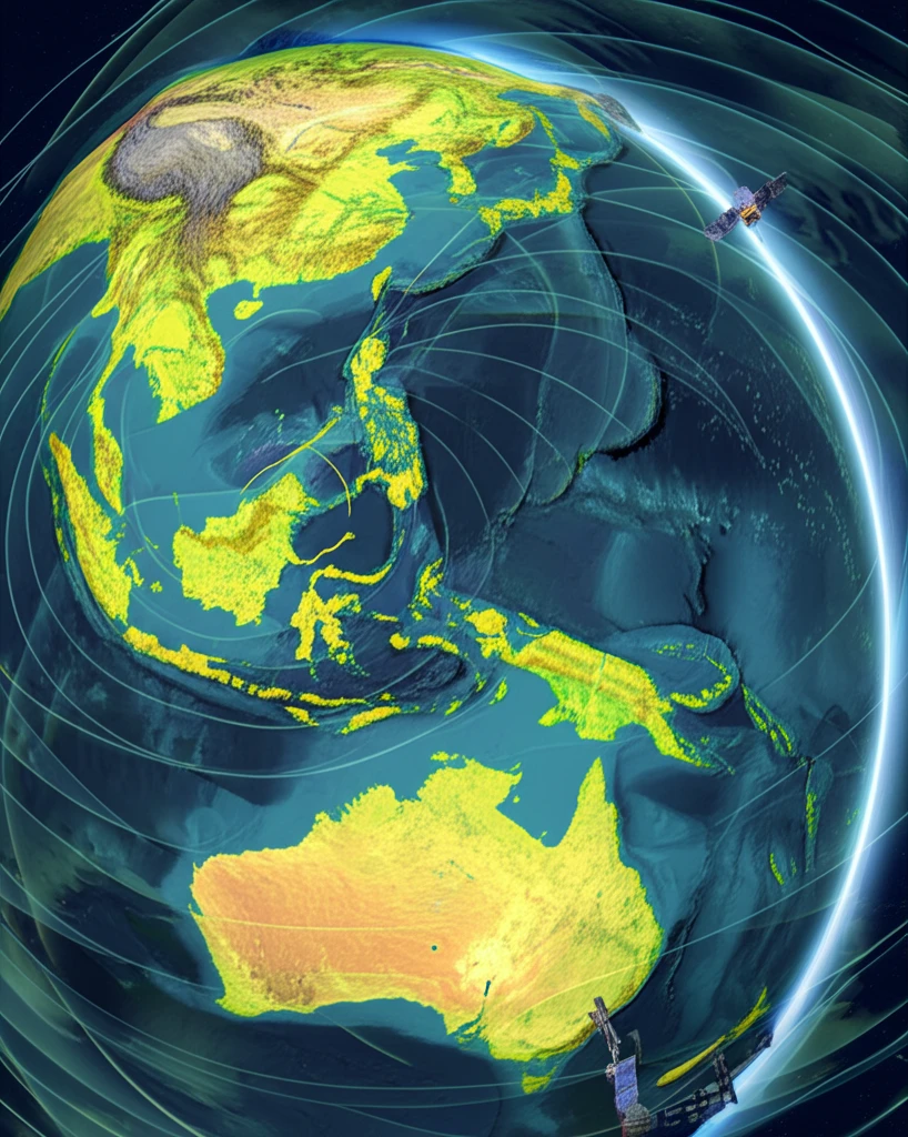
Shifting Ground: Understanding Southeast Asia's Earthquake-Prone Sundaland Plate

"How major seismic events are reshaping our understanding of tectonic plate movement and regional stability in Southeast Asia. Discover the Sundaland Plate's Present-Day Kinematics!"
Southeast Asia, a region renowned for its vibrant cultures and bustling economies, sits atop a complex geological puzzle known as the Sundaland Plate. This continental core, part of a larger tectonic framework, is constantly influenced by the movements and interactions of surrounding plates, particularly the powerful Indian-Australian Plate. The interplay between these massive structures results in frequent seismic events, some of which have reshaped landscapes and communities alike.
Among the most notable seismic events are the series of major earthquakes that have struck the region in recent decades. The 2004 Aceh earthquake, the 2005 Nias earthquake, and the 2012 doublet earthquakes in northern Sumatra have not only caused immense devastation but have also provided invaluable data for understanding the dynamics of the Sundaland Plate. These events triggered widespread postseismic decay, affecting areas far beyond recognized plate boundaries.
This article delves into a recent study analyzing long-term GPS data to reveal how these seismic events have influenced the kinematics—or motion—of the Sundaland Plate. By examining the changes in plate movement before, during, and after these earthquakes, we gain critical insights into the ongoing geological processes that define this tectonically active region.
A Seismically Active Corner of the Eurasian Plate
Sundaland, situated in Southeast Asia, covers Indonesia (including Sumatra, Kalimantan, and Java), Malaysia, and other Indochina countries, and its interior has been proposed as relatively stable. Despite that relative stability, the region is heavily exposed to earthquakes because Southeast Asia sits along the Pacific Ring of Fire, where several tectonic plates converge, including the Indo-Australian and Eurasian plates. Live monitoring resources such as earthquakes list sites that update every minute demonstrate how frequently significant quakes are recorded worldwide.
GPS, Rotation Vectors, and the Search for Stable Blocks
A standard approach for characterizing Sundaland's motion is defining plate rotation vectors, such as a new rotation vector established in ITRF2008 using 10 selected cGPS sites assumed to lie in the stable block, based on 1999–2004 time-series data. Another accepted method is Euler pole determination to describe the rotation of the Sundaland plate relative to neighboring plates. These geodetic approaches carry limitations, however, because they depend on assumptions that selected stations are truly within the stable block and on limited time spans of continuous GPS observations.
A Contested Deep History and a Mosaic of Terranes
Foundational research has framed Sundaland as the southeastern corner of the Eurasian continental plate, and terrane analysis shows it is assembled from a number of terranes that originated from northern Gondwanaland. This accretion and dispersion of terranes reflects a long history of tectonic assembly that underpins modern seismicity. Separately, the Sundaland Research Program posits that Sundaland, an area revealed during the Ice Age, is the cradle of human civilization, drawing on archaeological, genetic, and mythological evidence.
Unveiling the Sundaland Plate's Secrets Through GPS Technology
To understand the Sundaland Plate, scientists use a network of continuous GPS (cGPS) stations scattered across Southeast Asia. These stations act like precise surveying tools, tracking the Earth's surface movements with millimeter accuracy. By analyzing the data collected over many years, researchers can determine how the plate shifts and deforms in response to major events.
- Significant changes in the direction of movement of Peninsular Malaysia following the 2004 and 2005 earthquakes.
- A period of elastic relaxation rebound after these major events.
- A return to the original course of motion after the 2012 Sumatra earthquakes, albeit at a slightly reduced velocity.
Kinematics, Hazard, and New Rotation Solutions
Recent work has defined a new rotation vector for the Sundaland plate in ITRF2008 using 10 selected cGPS sites assumed to be in the stable block, based on 1999–2004 time-series data. Related research addresses India-Sunda plate motion, crustal deformation, and seismic hazard, including discussion of the nature of ophiolite occurrences along the eastern margin of the Indian plate and their tectonic significance. Live earthquake monitoring that updates every minute provides the near-real-time observational backdrop for these kinematic studies.
Contested Stability, Assumptions, and Open Questions
The proposal that Sundaland's interior is relatively stable has been questioned, since Euler pole solutions and stable-block assumptions depend heavily on which cGPS sites are chosen and on limited 1999–2004 time-series data. The debate over whether Sundaland served as the cradle of human civilization during the Ice Age, as posited in one research program, remains a contested hypothesis that is not universally accepted. These open questions illustrate the gaps between geodetic models, terrane reconstructions, and broader historical claims.
Comparing Regions, Faults, and Quake Impacts
Comparisons across East Asia, including China, Taiwan, Korea, and Mongolia, highlight the different major faults, tectonic forces, and historic disaster patterns that shape each region's seismic hazard. Explainer coverage of the Myanmar earthquake examines whether there is a history of earthquakes along the Sagaing fault, why the quake caused damage in Bangkok, and why neighbouring eastern parts of India avoided damage. Together, these comparisons show that hazard is not uniform across Southeast Asia but depends on local fault systems and plate-boundary geometry.
Implications and Future Research
This research challenges previous assumptions about the stability of the Sundaland Plate, particularly the notion that Peninsular Malaysia acts as an undeformed core. The findings reveal that even regions far from the immediate earthquake zones are subject to measurable postseismic deformation. This underscores the interconnectedness of the plate and the far-reaching effects of major seismic events. Further investigation of relative rotation vectors between the Sundaland plate with neighboring plates is essential to understand the relative plate motion.
Sundaland at the Seismic Crossroads
Expert analysis synthesizes that Sundaland's earthquake behavior reflects its position as the southeastern corner of the Eurasian plate, assembled from Gondwana-derived terranes and bordered by converging plates of the Pacific Ring of Fire. Studies of plate motion, crustal deformation, and seismic hazard connect the plate's deep tectonic history with present-day risk in Indonesia, Malaysia, and Indochina. The interplay of terrane accretion, relative plate motion, and modern geodetic monitoring underpins current understanding of why the region shakes.
Toward Denser Monitoring and Better Constraints
Future advances are likely to come from denser continuous GPS networks and longer time-series data that improve Euler pole determinations and reveal whether Sundaland's interior truly behaves as a single stable block. Continuing research on India-Sunda plate motion and crustal deformation promises to sharpen seismic hazard assessments across the region. Every-minute earthquake monitoring feeds these efforts with the ongoing observational record needed to test and refine kinematic models.
Terrane Mosaics, Plate Boundaries, and Hazard Systems
Sundaland's systemic challenge is that it is not a simple continental block but a mosaic of terranes accreted from northern Gondwanaland, each with its own deformation history and boundary conditions. Its hazard context is defined by convergence between the Indo-Australian, Eurasian, and other plates along the Pacific Ring of Fire, which drives earthquakes across Southeast Asia. Understanding these large-scale tectonic relationships is essential to anticipating how quakes propagate through the region's complex crust.
Shaking Cities and Regional Exposure
The real-world stakes of Sundaland's seismicity are evident in events such as the Myanmar earthquake, which damaged Bangkok, a city far from the source, and raised questions about why neighbouring eastern India escaped damage. A history of earthquakes along the Sagaing fault and the wide geographic reach of shaking show how population centers across the region are exposed to distant quakes. These impacts underline why continuous, up-to-the-minute earthquake monitoring and refined hazard models matter for public safety in Southeast Asia.