
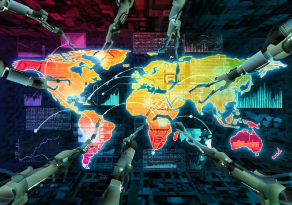
Mapping the Future: How Parallel Computing is Revolutionizing GIS

"Unlock the power of location with next-gen Geographic Information Systems, enhanced by high-performance parallel processing."
Geographic Information Systems (GIS) have become indispensable tools for understanding our world, used across diverse fields from environmental science to urban planning. As the volume and complexity of geographic data continue to explode, the need for efficient processing methods has grown critical. Traditional desktop computing approaches are increasingly inadequate for handling these massive datasets, leading to bottlenecks in analysis and decision-making.
Parallel computing offers a promising solution by harnessing the power of multiple processors to tackle complex GIS tasks simultaneously. This approach allows for faster processing times and the ability to analyze larger datasets, unlocking new insights and possibilities. However, simply applying parallel computing techniques to existing GIS algorithms isn't always straightforward. It often requires rethinking and re-engineering algorithms to effectively leverage the capabilities of parallel architectures.
One of the core functions in GIS is buffer analysis, which involves identifying areas within a specified distance of geographic features. Efficiently generating these buffer zones is crucial for many applications. This article explores how a novel parallel algorithm can significantly accelerate buffer generation, paving the way for real-time GIS analysis and more informed decision-making.
Current Statistics & Impact
Parallel processing strategies have become essential for handling big geospatial data, with research showing focal statistics algorithms can be significantly accelerated through parallel computing approaches. ArcGIS Pro's Spatial Analyst supports parallel processing across up to 12 cores, breaking computing tasks into smaller portions for concurrent execution. Data parallelism—partitioning spatial data such as vector features or raster pixels into multiple smaller datasets—represents a foundational strategy for scaling GIS workloads. These capabilities are increasingly critical as geospatial datasets grow in volume and complexity.
Standard Approach, Accepted Methods & Their Limitations
The evolution of parallel GIS architectures has converged on two primary models: high-performance computing (HPC) clusters and Hadoop-based clusters. Two types of parallel programming dominate GIS applications—data parallelism, which partitions spatial data across processors, and functional parallelism, which distributes different operations—each with distinct advantages and tradeoffs for scalability and efficiency. Hybrid distribution strategies combining local data access with regular communication patterns show promise for algorithms like matrix operations, though the choice of strategy critically affects program scalability. These architectural patterns reflect the field's ongoing effort to balance computational throughput with spatial data's inherent locality constraints.
Historical Perspective, Milestones, Foundational Discoveries
The development of parallel GIS has progressed from early single-threaded systems through the emergence of cluster-based architectures to today's hybrid CPU-GPU and cloud-native platforms. Foundational work in spatial domain decomposition and data partitioning strategies established the theoretical basis for distributing geographic computations across multiple processors. Milestones include the adaptation of MapReduce frameworks for spatial operations and the integration of parallel processing into mainstream GIS software. While specific early breakthroughs are sparsely documented in available sources, the trajectory shows a consistent movement toward leveraging increasing core counts and distributed memory systems for spatial analysis.
The Need for Speed: Why Parallel Processing Matters in GIS
Imagine trying to analyze traffic patterns in a major city using only a hand-drawn map and a pencil. It would take forever, and the results would likely be inaccurate. That's essentially what it's like trying to process large-scale geographic data with traditional computing methods. As data volumes grow, the processing time increases exponentially, making it difficult to gain timely insights.
- Faster processing times: Analyze large datasets in minutes instead of hours or days.
- Improved scalability: Handle increasingly large and complex datasets without performance bottlenecks.
- Real-time analysis: Enable real-time decision-making in applications such as emergency response and traffic management.
- Enhanced accuracy: Perform more detailed analysis with higher resolution data.
Latest Research and Reviews
Recent literature continues to refine parallel processing strategies for spatial and spatio-temporal data, with emphasis on data locality, computational locality, and redundancy reduction as central design principles. Reviews highlight the ongoing evolution of parallel GIS architectures and the need for algorithms that account for locally sequential access patterns inherent in geographic data. Research increasingly explores GPU-accelerated approaches for agent-based modeling and other compute-intensive spatial simulations. The field appears to be converging on hybrid strategies that combine data and functional parallelism for optimal resource utilization.
Counter Arguments and Failures
Despite its promise, parallel GIS faces persistent challenges including load imbalance from irregular spatial data distributions, communication overhead that can negate speedup gains, and the difficulty of parallelizing inherently sequential spatial operations. Some algorithms exhibit diminishing returns beyond modest core counts due to synchronization bottlenecks and memory bandwidth limitations. The complexity of developing correct parallel spatial algorithms has slowed adoption in production systems, and not all GIS workloads benefit equally from parallelization. These limitations underscore the need for problem-specific rather than universal parallel approaches.
Comparative Analysis
Comparative studies of parallel GIS architectures reveal tradeoffs between HPC clusters—offering low-latency interconnects and homogeneous resources—and Hadoop-style systems—providing fault tolerance and commodity hardware economics at the cost of higher latency. Data parallelism excels for embarrassingly parallel spatial operations like per-pixel raster processing, while functional parallelism better suits workflows with distinct analytical stages. GPU implementations can achieve order-of-magnitude speedups for regular grid computations but struggle with irregular vector topologies. The optimal choice depends heavily on data characteristics, algorithm structure, and deployment constraints.
A Faster Path Forward: The Future of GIS is Parallel
Parallel computing is not just a technological upgrade; it's a fundamental shift in how we approach geographic data analysis. By embracing parallel algorithms and high-performance computing techniques, GIS professionals can unlock new insights, make more informed decisions, and address some of the world's most pressing challenges, from environmental conservation to sustainable urban development. As technology continues to advance, the future of GIS is undoubtedly parallel.
Synthesis & Expert Commentary
Expert synthesis emphasizes that effective parallel algorithm design for spatial data must address data locality and computational locality as first-order concerns, with redundancy and locally sequential access patterns shaping implementation choices. GPU-based agent-based modeling demonstrates the power of domain decomposition combined with ghost zones and synchronization mechanisms for complex spatial simulations. Supercomputing environments enable large-scale parallel agent-based models of land-use opinions and spatial diffusion processes. The consensus across reviews is that spatial domain decomposition remains the foundational strategy, but its success depends on careful handling of boundary interactions and load balancing.
Future Outlook & Next Frontiers
The GIS industry is projected to experience robust expansion through 2034, driven by smart city initiatives and deeper integration with business intelligence platforms. Next-generation GIS developments through 2025 emphasize IoT integration, enhanced data quality, and cloud-AI convergence to future-proof geospatial strategies. By embracing parallel algorithms and high-performance computing techniques, GIS professionals can unlock new insights for pressing challenges from environmental conservation to sustainable urban development. Emerging automation and artificial intelligence capabilities are expected to reshape the skill sets required for GIS professionals in the coming decade.
Broader Context & Systemic Challenges
The integration of parallel computing into GIS occurs within broader systemic shifts including cloud migration, the rise of real-time spatial data streams, and increasing demand for interoperable geospatial standards. Institutional barriers such as legacy software architectures, workforce skill gaps, and procurement cycles constrain adoption of parallel approaches. Data governance, privacy, and ethical considerations grow more complex as parallel systems enable finer-resolution and higher-frequency spatial analytics. Addressing these challenges requires coordinated advances in software engineering, education, and policy alongside raw computational innovation.
The Human Element & Real-World Impact
Parallel computing-enhanced GIS delivers tangible real-world impact, from wildfire control frameworks that integrate spatial analysis with high-performance computing to urban planning tools that model land-use scenarios for sustainable development. A Shanghai case study demonstrated how parallel computing-based models can project urban sprawl impacts on ecological space, directly informing greenspace optimization. Across over 1000 documented use cases, GIS applications span disaster response, public health, transportation, environmental management, and urban planning—domains where parallel processing enables faster, more detailed spatial decision support. These applications underscore that computational advances in GIS ultimately serve human communities facing complex spatial challenges.