A deep-diving whale swims in a bioluminescent ocean, surrounded by data visualizations representing habitat models.

Deep-Sea Detectives: Modeling Cetacean Habitats to Protect Ocean Giants

"Unlocking the secrets of deep-diving whales and dolphins through large-scale data analysis for better marine conservation."


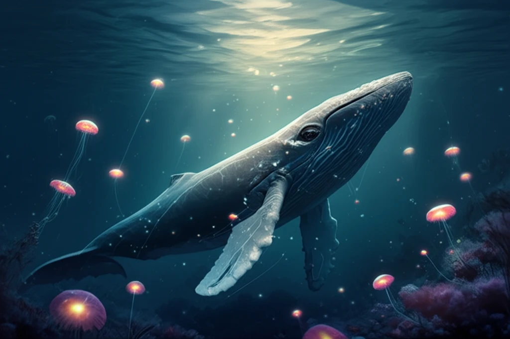
The ocean depths are home to some of the most elusive and mysterious creatures on Earth, including deep-diving cetaceans – a group that includes beaked whales, sperm whales, and kogiids. These marine mammals face increasing threats from human activities, such as underwater noise pollution and entanglement in fishing gear. Protecting these species requires a solid understanding of where they live and what habitats they rely on.

However, studying deep-diving cetaceans is no easy task. They spend much of their time far below the surface, in remote oceanic environments. Their populations are often small, and sightings are infrequent, making it difficult to gather enough data to map their distribution effectively. Traditional survey methods often fall short, highlighting the need for innovative approaches to cetacean conservation.

Fortunately, scientists are now harnessing the power of data aggregation and advanced modeling techniques to overcome these challenges. By combining data from multiple visual surveys conducted over vast areas and long time periods, researchers are creating detailed habitat models that reveal the secrets of deep-diving cetacean distribution. These models are essential tools for informing marine spatial planning, mitigating human impacts, and safeguarding the future of these magnificent ocean giants.

Combining Data for a Clearer Picture

A deep-diving whale swims in a bioluminescent ocean, surrounded by data visualizations representing habitat models.

One of the biggest hurdles in studying deep-diving cetaceans is the scarcity of sightings. Individual surveys often capture only a handful of data points, which isn't enough to create a comprehensive picture of their habitat preferences. To address this, researchers are increasingly turning to data-assembling techniques, pooling together information from multiple surveys to increase sample sizes and expand the geographical scope of their analyses.

Pooling data from different surveys isn't as simple as adding everything into one big pile. Surveys often use different methodologies, observation platforms (ships vs. airplanes), and environmental data collection protocols. These variations can introduce biases and inconsistencies into the data, making it difficult to draw accurate conclusions. To account for these differences, scientists are developing sophisticated statistical models that can handle the heterogeneity of multi-survey datasets.

  • Hierarchical Models: These models allow researchers to estimate effective strip width (ESW) – a measure of how far observers can see from the trackline – while accounting for variations in platform type, observation conditions, and survey protocols.
  • Generalized Additive Models (GAMs): GAMs are used to model the relationship between cetacean density and environmental variables, such as depth, sea surface temperature, and primary productivity. These models can capture complex, non-linear relationships and identify key habitat drivers.
  • Gap Analysis: This technique helps to identify areas where predictions are based on extrapolation beyond the surveyed environmental conditions. This helps to assess the reliability of the models and pinpoint regions where more data are needed.
By carefully accounting for the heterogeneity of different surveys, researchers can create more robust and reliable habitat models for deep-diving cetaceans. These models provide valuable insights into the environmental factors that shape their distribution and can be used to inform conservation efforts across large ocean basins.

Protecting the Depths

Habitat models are powerful tools for marine conservation, but they are only as good as the data and methods used to create them. To ensure that these models are reliable and effective, it is essential to: Invest in long-term monitoring programs to collect high-quality data on cetacean distribution and abundance, Standardize survey protocols to reduce heterogeneity and improve data comparability, Develop advanced statistical methods to account for biases and uncertainties in the data, Conduct gap analyses to identify areas where more data are needed, Use habitat models to inform marine spatial planning and mitigate human impacts on cetacean populations. By taking these steps, we can improve our understanding of deep-diving cetacean habitats and protect these amazing creatures for generations to come.

About this Article -

This article was crafted using a human-AI hybrid and collaborative approach. AI assisted our team with initial drafting, research insights, identifying key questions, and image generation. Our human editors guided topic selection, defined the angle, structured the content, ensured factual accuracy and relevance, refined the tone, and conducted thorough editing to deliver helpful, high-quality information.See our About page for more information.

This article is based on research published under:

DOI-LINK: 10.1111/geb.12850, Alternate LINK

Title: Combining Multiple Visual Surveys To Model The Habitat Of Deep-Diving Cetaceans At The Basin Scale

Subject: Ecology

Journal: Global Ecology and Biogeography

Publisher: Wiley

Authors: Auriane Virgili, Matthieu Authier, Oliver Boisseau, Ana Cañadas, Diane Claridge, Tim Cole, Peter Corkeron, Ghislain Dorémus, Léa David, Nathalie Di-Méglio, Charlotte Dunn, Tim E. Dunn, Isabel García-Barón, Sophie Laran, Giancarlo Lauriano, Mark Lewis, Maite Louzao, Laura Mannocci, José Martínez-Cedeira, Debra Palka, Simone Panigada, Emeline Pettex, Jason J. Roberts, Leire Ruiz, Camilo Saavedra, M. Begoña Santos, Olivier Van Canneyt, José Antonio Vázquez Bonales, Pascal Monestiez, Vincent Ridoux

Published: 2018-11-28

Everything You Need To Know

1

What are the primary threats faced by deep-diving cetaceans?

Deep-diving cetaceans, which include beaked whales, sperm whales, and kogiids, are facing growing threats from human activities. Specifically, these marine mammals are impacted by underwater noise pollution and entanglement in fishing gear. Understanding and mitigating these threats are crucial for their conservation.

2

How do scientists gather data on deep-diving cetaceans, given their elusive nature?

Due to the difficulty of studying these creatures, scientists use a combination of data aggregation and advanced modeling techniques. They combine data from numerous visual surveys conducted over vast areas and long time periods. This approach helps overcome the challenges of infrequent sightings and the remote oceanic environments where these cetaceans live.

3

What are Hierarchical Models, and why are they important in studying deep-diving cetaceans?

Hierarchical Models are a type of statistical model used in cetacean research. These models help estimate effective strip width (ESW), which measures how far observers can see from the trackline. This is important because it accounts for variations in platform type, observation conditions, and survey protocols. Using such models allows for more accurate and reliable data analysis.

4

What is the role of Generalized Additive Models (GAMs) in understanding cetacean habitats?

Generalized Additive Models (GAMs) are used to model the relationship between cetacean density and environmental variables. These environmental variables include depth, sea surface temperature, and primary productivity. GAMs help researchers identify key habitat drivers and understand complex, non-linear relationships. This helps in understanding the factors that influence where these cetaceans live.

5

How can habitat models be improved to protect deep-diving cetaceans, and what is the role of Gap Analysis?

Habitat models can be improved by investing in long-term monitoring programs to collect high-quality data, standardizing survey protocols, and developing advanced statistical methods. Gap Analysis identifies areas where model predictions are based on extrapolation beyond the surveyed environmental conditions. This highlights regions needing more data and helps assess the reliability of the models. By using the habitat models for marine spatial planning and mitigation, scientists aim to protect these ocean giants for generations.

Newsletter Subscribe

Subscribe to get the latest articles and insights directly in your inbox.