
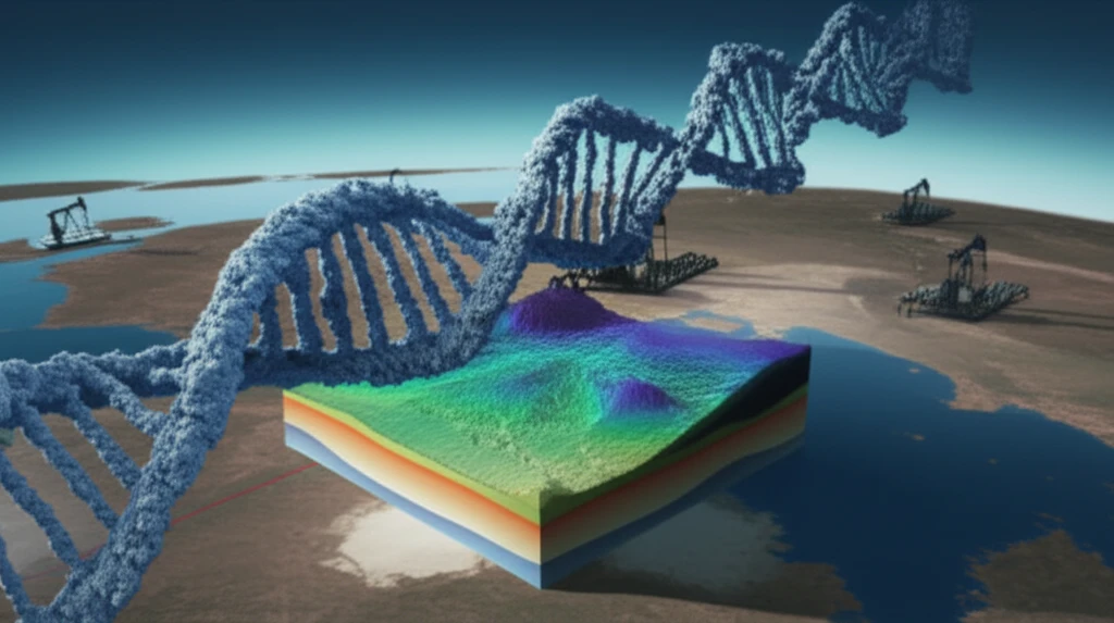
Decoding the Depths: How AI is Revolutionizing 3D Seismic Data in Exploration

"From the Human Genome to the Earth's Crust: Unveiling the Power of Automated Interpretation in Unearthing Resources."
For decades, geoscientists have relied on 3D seismic data to map the subsurface, searching for valuable resources like hydrocarbons and minerals. But the sheer volume of this data, along with the time-consuming nature of traditional interpretation methods, has always been a challenge. A large amount of data is often underutilized, and the process can be slow. Now, a new approach is emerging, one that draws inspiration from an unexpected source: the Human Genome Project.
The Human Genome Project, a monumental undertaking in biology, faced similar challenges: analyzing vast amounts of complex data. The project's techniques for identifying patterns and segmenting data have been adapted to interpret 3D seismic data, transforming how geoscientists extract information. This is not just about speed; it's about making models more accurate, improving decision-making, and unlocking more of the potential hidden beneath our feet.
This article explores how these genetic algorithms work, their benefits, and real-world examples. We'll delve into the technical aspects, highlight case studies from across Australia, and consider the broader implications of this revolutionary technology. It's a journey from the microscopic world of genes to the vast landscapes of our planet, demonstrating how innovation can help us unlock earth's hidden resources.
Why 3D Interpretation Matters
Mapping strategies can change how interpreters understand fault geometry, network patterns, and derived statistics in 3D seismic imagery. The 2023 study reports that using multiple workflows can reveal inherent uncertainty in structural interpretation, which is important when assessing and risking fault interpretations. Seismic interpretation also requires separating desirable geological information, such as structural continuity and stratigraphic or reservoir variability, from the seismic wavelet and various forms of noise.
Conventional Workflows and Their Limits
Established 3D seismic interpretation workflows include well-tie to seismic, modern calibration methods, horizon modeling, fault picking, and mapping. Conventional interpretation remains time-consuming, labor-intensive, and subjective, even as acquisition and processing technologies improve signal-to-noise ratios. Broader limitations include difficulties deciphering subsurface structures, stratigraphy, and reservoir characteristics, while noise from environmental factors or equipment can obscure geological features and reduce interpretive reliability.
A Developing Interpretive Tradition
The development of 3D seismic interpretation can be viewed as a gradual shift from analyzing individual seismic profiles toward examining spatial relationships across seismic volumes. Over time, interpretation practice has incorporated structural analysis, horizon and fault mapping, calibration, and increasingly integrated workflows. The historical progression appears less like a single breakthrough than an accumulation of methods for extracting geological meaning from complex subsurface imagery.
Unveiling the Secrets: How Genetic Algorithms Work in Seismic Data Interpretation
The core of this innovative approach lies in genetic algorithms. These algorithms mimic the evolutionary process, applying principles of natural selection to seismic data. Instead of manually analyzing each surface, the system automatically segments the data, identifying unique waveform segments that correspond to surfaces or horizons. These segments are called GeoPopulations™.
- Automated Surface Identification: The system identifies and maps all surfaces within a 3D volume of data, removing the need for manual picking.
- Unbiased Analysis: The algorithms analyze data without pre-conceived notions, reducing interpretation bias and providing a fresh perspective.
- Time Efficiency: Automating the most time-consuming tasks frees up interpreters to focus on the significance of results.
- Improved Accuracy: Analyzing more data in less time leads to more reliable models and better decision-making.
- Visual Database: The results are stored in a visual database, allowing for comprehensive review and analysis.
Research Moves Toward Intelligent Interpretation
A 2026 review identifies seismic data quality, survey design, and imaging reliability as central themes in global 3D seismic acquisition and imaging research. A 2025 study on seismic facies interpretation reports that deep-learning algorithms are emerging as efficient tools for identifying facies in 3D seismic data, addressing the time and labor demands of trace inversion and manual interpretation. The SeisCoDE research presents foundation models informed by seismic image processing and attribute analysis as a potential direction for continued innovation in subsurface characterization and geophysical exploration.
Uncertainty Remains Structural
Recent work on horizon mapping and fault interpretation emphasizes that uncertainty remains measurable in 3D seismic interpretation, particularly in relation to seismic image quality. A 2025 methodology proposes advanced structural-stratigraphic frameworks to reduce uncertainty in seismic mapping and fault interpretation. Noise is another persistent failure point: the reported limitations study notes that environmental factors and equipment constraints can contaminate seismic data, obscure geological features, and reduce confidence in interpretation.
3D Adds Spatial Context
High-resolution, high-density 3D and 4D seismic data support more precise estimation of rock and fluid parameters for reservoir characterization and monitoring during field development and production. Although some interpretation techniques remain similar to those used with 2D seismic, evaluating these datasets requires a multidisciplinary and synergistic approach. The AAPG notes that 3D interpretation is not simply dense 2D interpretation: treating a volume as a dense grid of profiles is neither effective nor efficient and generally produces poorer results.
The Future of Subsurface Exploration
By automating the surface extraction process and providing higher-quality surfaces, this technology allows geoscientists to spend more time developing a better understanding of their results. In an industry driven by the need for precision and efficiency, the ability to quickly and accurately interpret vast amounts of seismic data is a game-changer. The fusion of genetics and geophysics not only enhances our ability to find resources but also opens doors to a deeper appreciation of our planet's hidden complexity.
Interpretation as Evidence Building
The available evidence suggests that 3D seismic interpretation is most reliable when treated as an evidence-building process rather than a purely automated answer. Geological insight depends on image quality, workflow choices, structural context, and awareness of uncertainty. AI may accelerate interpretation, but its value is likely to depend on how effectively experts evaluate and contextualize the results.
A Growing Market and Broader Scope
One market report estimates that the global 3D seismic market reached $14.2 billion in 2025 and projects growth to $21.4 billion by 2034, corresponding to a 5.8% CAGR from 2026 to 2034. Market coverage increasingly spans 2D, 3D, and 4D imaging across oil and gas, mining, and geological exploration. The same industry outlooks distinguish services such as data acquisition, data processing, and data interpretation, suggesting that future expansion will involve the full seismic workflow rather than imaging alone.
Beyond Algorithms
The broader challenge is not only developing more capable AI models but also integrating them into complex scientific and operational workflows. 3D seismic interpretation involves large datasets, uncertain measurements, specialized geological knowledge, and decisions with practical consequences. Progress will therefore depend on balancing automation with quality control, transparent uncertainty assessment, and human responsibility for interpretation.
People, Data, and Decisions
A case study in the Weiyuan area of China's Sichuan Basin integrated 3D seismic, earthquake data, and well logs to build a comprehensive 3D model of in-situ stress orientations and magnitudes for a region targeted for shale gas production. Worldwide exploration case studies indicate that integrated 3D volume visualization can expose critical geological information hidden within seismic data volumes. At the same time, cloud-based visualization addresses the scale of industrial seismic volumes, although efficiently visualizing those datasets remotely remains a challenge.