
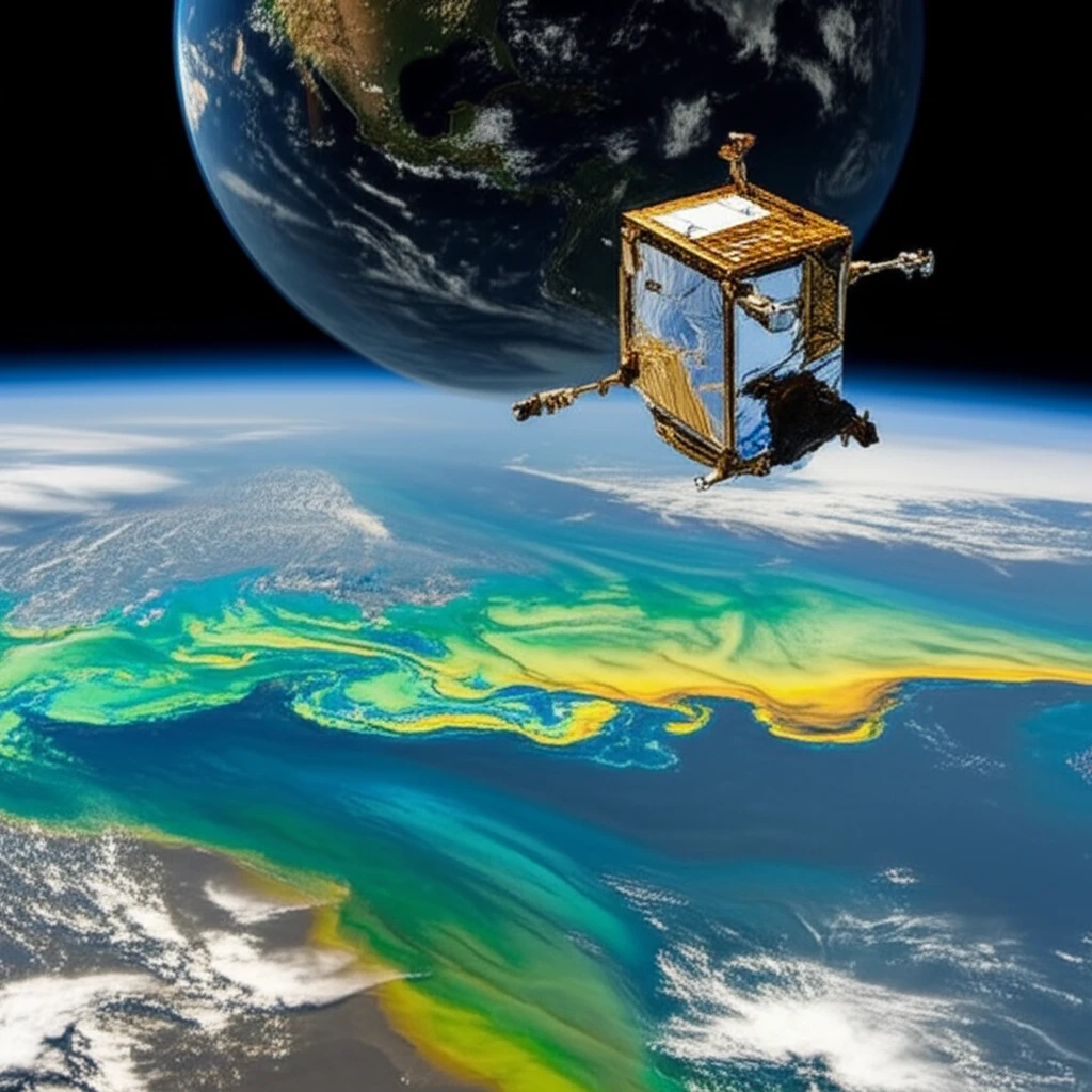
Decoding Ocean Color: How Scientists Are Keeping Our Seas Healthy

"A deep dive into the Mediterranean Ocean Colour Observing System and its role in monitoring and protecting marine ecosystems."
Our oceans are vital. They drive economies, support countless communities, and play a critical role in regulating the global climate. As human activities and natural hazards increasingly threaten marine environments, accurate and reliable ocean monitoring becomes essential for sustainable resource management.
Enter operational oceanography—a field dedicated to providing real-time data and predictive models of ocean conditions. At the heart of this effort lies the use of satellite technology to observe and analyze ocean color, a key indicator of marine ecosystem health. By tracking changes in ocean color, scientists can assess phytoplankton concentrations, monitor pollution levels, and gain insights into the overall health of our seas.
The Mediterranean Ocean Colour Observing System (OCOS) is a pioneering initiative focused on delivering precise, timely, and scientifically validated data about the Mediterranean Sea. This system, a part of the broader European Ocean Colour Service, harnesses satellite observations and advanced algorithms to provide essential information for researchers, policymakers, and environmental agencies.
NASA's Ocean Color Monitoring
NASA's ocean color data enables exploration of the ocean's carbon cycle, tracking of phytoplankton, detection of harmful algal blooms, and monitoring of overall ocean health. The Ocean Biology Processing System collects, processes, calibrates, and validates ocean-related products from multiple satellite missions providing ocean color, sea surface temperature, and sea surface salinity data. SeaBASS serves as a community archive of in situ field data relevant to ocean color research, algorithm development, and validation.
Traditional Ocean Color Methods
Ocean color remote sensing typically involves satellite-based observations that measure light reflected from ocean surfaces to infer biological and chemical properties. While these methods have proven valuable, they face inherent limitations including cloud cover obstruction, atmospheric correction challenges, and limited depth penetration. Ground-truth validation through in situ measurements remains essential but is resource-intensive and spatially limited.
Evolution of Ocean Color Science
The field of ocean color remote sensing has developed over several decades, driven by advances in satellite technology and bio-optical algorithms. Early missions established proof-of-concept for monitoring marine ecosystems from space, though with limited spectral and temporal resolution. Continued improvements in sensor capabilities have progressively enhanced our ability to observe ocean biological processes.
Why Is Ocean Color Important?
Ocean color provides insights into what’s in the water, like phytoplankton, sediments, and pollutants. Phytoplankton contain chlorophyll, which absorbs and reflects light in different ways depending on its concentration. Satellites measure this reflected light to estimate chlorophyll levels, providing a measure of phytoplankton biomass.
- Ecosystem Health: Changes in phytoplankton populations can indicate shifts in the marine food web and overall ecosystem health.
- Pollution Levels: Ocean color can reveal the presence of pollutants and their impact on water quality.
- Climate Change Effects: Phytoplankton play a role in the carbon cycle, and monitoring their activity helps us understand how the ocean is responding to climate change.
- Fisheries Management: Understanding phytoplankton distribution can aid in fisheries management by indicating productive fishing grounds.
Recent Advances in Ocean Color Science
Contemporary research continues to refine algorithms for more accurate retrieval of ocean optical properties from satellite data. Studies focus on improving atmospheric correction methods and expanding applications to coastal and inland waters. Integration of multiple data sources, including satellite and in situ measurements, represents a current methodological trend.
Challenges in Ocean Color Monitoring
Skeptics have questioned the accuracy of satellite-derived ocean color products, particularly in optically complex waters. Cloud contamination and atmospheric variability remain persistent technical challenges that can introduce uncertainties. The reliance on assumed bio-optical relationships may not hold universally across different ocean regions.
Evaluating Different Approaches
Various satellite sensors and processing algorithms offer different capabilities and tradeoffs for ocean color monitoring. No single platform provides complete spatial and temporal coverage, necessitating integration of multiple missions. Ground-based and autonomous in situ systems complement satellite observations but cover different spatial scales.
Looking Ahead: Continuous Improvement for Ocean Monitoring
The Mediterranean OCOS is continuously evolving, with ongoing efforts to refine data accuracy, incorporate new satellite sensors, and expand its range of applications. By ensuring the quality and reliability of ocean color data, this system plays a vital role in supporting sustainable management of marine resources and protecting the health of our oceans for future generations. Continued investment and innovation in these systems are crucial for addressing the growing challenges facing our marine environments.
Expert Perspectives on Ocean Color
Experts recognize ocean color remote sensing as a transformative tool for understanding marine ecosystems, though challenges remain in data interpretation and validation. The field benefits from sustained international collaboration and data sharing. Continued investment in both satellite and in situ capabilities is widely regarded as essential.
50 Years and Beyond: The Future of Ocean Color
For nearly half a century, ocean color remote sensing has reshaped understanding of marine ecosystems, with recent reviews synthesizing the field's 50-year journey. Future directions focus on transitioning from 2D to 3D observations and integrating artificial intelligence for enhanced data processing. The Global Ocean Observing System Status Report 2025 shows advances in ocean observing for climate resilience and ocean health, yet warns that without stronger coordinated investment, the system remains subcritical and at risk.
Monitoring for Global Food Security
With a growing population, monitoring ocean ecosystems that underpin fish production is critical to global food security, requiring observation of plankton and higher trophic levels. The ocean faces increasing pressure from climate change, biodiversity loss, and human impacts, demanding integrated policy approaches. Long-term monitoring equipment must withstand harsh marine conditions including corrosive saltwater, extreme pressures, and powerful currents.
From Data to Action
Translating ocean color data into actionable information for policymakers and resource managers remains a key challenge. Effective communication of scientific findings to diverse stakeholders is essential for informed decision-making. Community engagement and citizen science initiatives can help bridge the gap between research and practical application.